A-Z Map Company
 Wateratlas Adventure Atlas Peak District (Dark Peak) | A-Z Map Company
The A-Z Adventure Series uses Ordnance Survey mapping and is the perfect companion for walkers, off-road cyclists, and anyone wishing to explore the great outdoors. This A-Z Adventure Atlas of …
 Wegenatlas A -Z Master Atlas of Greater London | A-Z Map Company
De ultieme stratengids van Londen en directe omgeving. Super gedetailleerd en alle straten staan er op, met een enorm register bovendien. The ultimate street atlas to navigate your way around …
 Stadsplattegrond Pocket Street Map Northampton | A-Z Map Company
Navigate your way around Northampton with detailed street maps from A-Z This up-to-date, folded A-Z street map includes all of the 1,500 streets in and around Northampton, as well as: …
 Stadsplattegrond Pocket Street Map Chester | A-Z Map Company
Navigate your way around Leeds with detailed street maps from A-Z This up-to-date, folded A-Z street map includes all of the 2,100 streets in and around Blackpool. As well as …
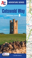 Wandelatlas Adventure Atlas Cotswold Way | A-Z Map Company
The A-Z Adventure Series uses Ordnance Survey mapping and is the perfect companion for walkers, off-road cyclists, and anyone wishing to explore the great outdoors. The Cotswold Way is a …
 Wegenkaart - landkaart Visitors map Scotland - Schotland | A-Z Map Company
xplore the whole of Scotland from Dumfries and Galloway in the South to the Orkney Islands in the North. With detailed road mapping and illustrated town plans of major cities, …
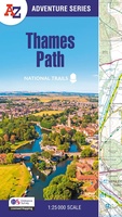 Wandelatlas Adventure Atlas Thames Path | A-Z Map Company
AZ heeft de meest gedetailleerde wandelkaarten van het Thames Path gebundeld in een atlasje. Daardoor is het heel handig qua formaat. De kaarten zelf zijn perfect voor het wandelen. Schaal …
★★★★★ Stadsplattegrond Pocket Street Map Cambridge | A-Z Map Company
Stadsplattegrond van Cambridge in 48 pagina´s, inclusief index met straatnamen en belangrijke plaatsen. Bevat tevens een detail weergave van het centrum. Navigate your way around Cambridge with detailed street …
★★★★★ Stadsplattegrond Pocket Street Map Brighton | A-Z Map Company
Navigate your way around Brighton with detailed street maps from A-Z This up-to-date, folded A-Z street map includes 2,600 streets in and around Brighton. As well as the seafront and …
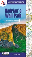 Wandelkaart - Wandelatlas Adventure Atlas Hadrian's Wall Path | A-Z Map Company
AZ heeft de meest gedetailleerde wandelkaarten van het Hadrian's Wall Path gebundeld in een atlasje. Daardoor is het heel handig qua formaat. De kaarten zelf zijn perfect voor het wandelen. …
 Wandelatlas Adventure Atlas South Downs Way | A-Z Map Company
AZ heeft de meest gedetailleerde wandelkaarten van de South Downs Way gebundeld in een atlasje. Daardoor is het heel handig qua formaat. De kaarten zelf zijn perfect voor het wandelen. …
★★★★★ Wegenkaart - landkaart Visitors map Cornwall | A-Z Map Company
Explore the whole county and area extending into Devon as far as Great Torrington, Tavistock and Plymouth. This detailed and up-to-date map contains more than 1,000 places of interest and …
★★★★★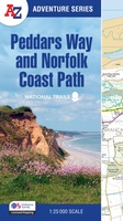 Wandelatlas Adventure Atlas Peddars Way and Norfolk Coast Path | A-Z Map Company
The A-Z Adventure Series uses Ordnance Survey mapping and is the perfect companion for walkers, off-road cyclists, and anyone wishing to explore the great outdoors. Together, Peddars Way and the …
 Stadsplattegrond Pocket Street Map Reading | A-Z Map Company
Navigate your way around Reading with detailed street maps from A-Z This up-to-date, folded A-Z street map includes all of the 1,500 streets in and around Reading. As well as …
 Wandelatlas Adventure Atlas Pembrokeshire Coast Path | A-Z Map Company
The A-Z Adventure Series of maps is the perfect companion for walkers, off-road cyclists, and anyone wishing to explore the great outdoors. The Pembrokeshire Coast Path is a 186 …
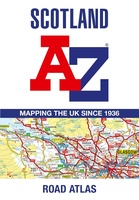 Wegenatlas Scotland - Schotland | A-Z Map Company
Handzame gedetailleerde wegenatlas van Schotland. Navigate your way around Scotland with this detailed, full-colour and easy-to-use A-Z Road Atlas. From the border to the north coast, the mainland pages scale …
★★★★★ Wegenatlas Adventure Atlas North Coast 500 | A-Z Map Company
The A-Z Adventure Series of maps is the perfect companion for walkers, off-road cyclists, and anyone wishing to explore the great outdoors. The scenic North Coast 500 is one …
 Wandelgids Cambridge Hidden Walks | A-Z Map Company
Discover hidden gems around Cambridge with 20 walking routes. Featuring 20 walks in and around the city, including lesser-known circuits and details on popular walks. Accompanied by guided walking instructions …
★★★★★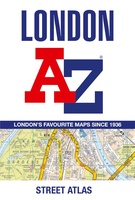 Wegenatlas - Stadsplattegrond London Street Atlas - Londen | A-Z Map Company
Handzame, maar behoorlijk dikke stadsatlas van Londen. Gebonden uitgave, maar toch redelijk makkelijk open ter klappen. Met register achterin. Zeer uitgebried met alle staten en steegjes. Centrumgedeelte met meer details …
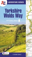 Wandelkaart - Wandelatlas Adventure Atlas Yorkshire Wolds Way | A-Z Map Company
The A-Z Adventure Series of maps combines the best of OS and A-Z, creating the perfect companion for walkers, off-road cyclists, horse riders and anyone wishing to explore the great …
Laatste reviews

Ben nog niet het veld in geweest met de gids maar de eerste indruk is veel informatie om een meerdaagse tocht uit te stippelen.
★★★★★ door Henk 04 juli 2026 | Heeft dit artikel gekocht
Prima in orde!
★★★★★ door Marko 04 juli 2026 | Heeft dit artikel gekocht
Fijn boekje met veel informatie, behalve knooppunten Utrecht af en toe incorrect. Wat heerlijk om offline te navigeren, lekker analoog. Zodra je het systeem begrijpt …
★★★★★ door Daan 03 juli 2026 | Heeft dit artikel gekocht
Als je van geschiedenis, Groningen en kaarteen houdt, is dit echt een aanrader!
★★★★★ door Reinout 03 juli 2026 | Heeft dit artikel gekocht