Winkelwagen
Geen items in winkelwagen
Ga naar winkelwagen
Kaarten
De beste wegenkaarten, routekaarten, fiets- of wandelkaarten en topografische kaarten vindt u hier!
Gaat u wandelen, met de auto toeren of op andere manier de omgeving op uw vakantiebestemming verkennen? Onze tip: neem een goede kaart mee! Er zijn speciale kaarten beschikbaar voor campervakanties, fietsroutes, pelgrimsroutes, wandeltochten en veel meer. Ook wegenatlassen en wegenkaarten kunnen handig zijn onderweg.
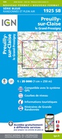 Wandelkaart - Topografische kaart 1925 SB - Serie Bleue Preuilly-sur-Claise, le Grand-Pressigny | IGN - Institut Géographique National
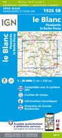 Wandelkaart - Topografische kaart 1926 SB - Serie Bleue Le Blanc, Pleumartin, La Roche-Posay | IGN - Institut Géographique National
 Wandelkaart - Topografische kaart 1927 SB - Serie Bleue La Trimouille | IGN - Institut Géographique National
 Wandelkaart - Topografische kaart 1928 SB - Serie Bleue Montmorillon, Lathus-St-Rémy | IGN - Institut Géographique National
 Wandelkaart - Topografische kaart 1929 SB - Serie Bleue Bellac - Adriers | IGN - Institut Géographique National
 Wandelkaart - Topografische kaart 193 Landranger Taunton & Lyme Regis, Chard & Bridport | Ordnance Survey
 Wandelkaart - Topografische kaart 193 OS Explorer Map Luton, Stevenage | Ordnance Survey
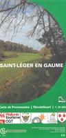 Wandelkaart 193 Saint-Léger en Gaume | NGI - Nationaal Geografisch Instituut
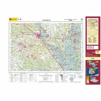 Topografische kaart 193 MT50 Astorga | CNIG - Instituto Geográfico Nacional1
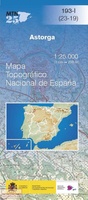 Topografische kaart 193-I Astorga | CNIG - Instituto Geográfico Nacional
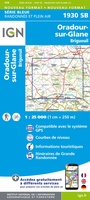 Wandelkaart - Topografische kaart 1930 SB - Serie Bleue Oradour-sur-Glane | IGN - Institut Géographique National
 Wandelkaart - Topografische kaart 1931 SB - Serie Bleue Rochechouart | IGN - Institut Géographique National
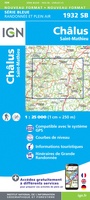 Wandelkaart - Topografische kaart 1932 SB - Serie Bleue Châlus - St-Mathieu | IGN - Institut Géographique National
 Wandelkaart - Topografische kaart 1933 SB - Serie Bleue Thiviers, St-Pardoux-la-Rivière | IGN - Institut Géographique National
 Wandelkaart - Topografische kaart 1934 SB - Serie Bleue Excideuil - Périgueux | IGN - Institut Géographique National
 Wandelkaart - Topografische kaart 1935 SB - Serie Bleue Vergt | IGN - Institut Géographique National
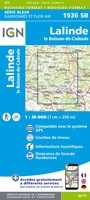 Wandelkaart - Topografische kaart 1936 SB - Serie Bleue Lalinde, le Buisson-de-Cadouin | IGN - Institut Géographique National
 Wandelkaart - Topografische kaart 1936ET Les Eyzies, St.-Cyprien, le Bugue, Beynac | IGN - Institut Géographique National★★★★★
 Wandelkaart - Topografische kaart 1937 SB - Serie Bleue Belves, Beaumont-du-Périgord | IGN - Institut Géographique National★★★★★
 Wandelkaart - Topografische kaart 1938 SB - Serie Bleue Fumel - Monflanquin | IGN - Institut Géographique National
Laatste reviews

Compact gidsje
Ben nog niet het veld in geweest met de gids maar de eerste indruk is veel informatie om een meerdaagse tocht uit te stippelen.
★★★★★ door Henk 04 juli 2026 | Heeft dit artikel gekocht
Beschikbaarheid en snelheid
Prima in orde!
★★★★★ door Marko 04 juli 2026 | Heeft dit artikel gekocht
Lekker analoog
Fijn boekje met veel informatie, behalve knooppunten Utrecht af en toe incorrect. Wat heerlijk om offline te navigeren, lekker analoog. Zodra je het systeem begrijpt …
★★★★★ door Daan 03 juli 2026 | Heeft dit artikel gekocht
Aanrader
Als je van geschiedenis, Groningen en kaarteen houdt, is dit echt een aanrader!
★★★★★ door Reinout 03 juli 2026 | Heeft dit artikel gekocht