Winkelwagen
Geen items in winkelwagen
Ga naar winkelwagen
Kaarten
De beste wegenkaarten, routekaarten, fiets- of wandelkaarten en topografische kaarten vindt u hier!
Gaat u wandelen, met de auto toeren of op andere manier de omgeving op uw vakantiebestemming verkennen? Onze tip: neem een goede kaart mee! Er zijn speciale kaarten beschikbaar voor campervakanties, fietsroutes, pelgrimsroutes, wandeltochten en veel meer. Ook wegenatlassen en wegenkaarten kunnen handig zijn onderweg.
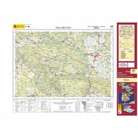 Topografische kaart 109 MT50 Villarcayo | CNIG - Instituto Geográfico Nacional1
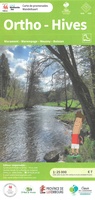 Wandelkaart 109 Ortho - Hives | NGI - Nationaal Geografisch Instituut
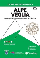 Wandelkaart 109 Alpe Veglia | Geo4Map★★★★★
 Topografische kaart 109-I Soncillo | CNIG - Instituto Geográfico Nacional1
 Topografische kaart 1090 MT50 Puerto del Rosario (Fuerteventura) | CNIG - Instituto Geográfico Nacional1
 Wandelkaart - Topografische kaart 1090 Wohlen | Swisstopo
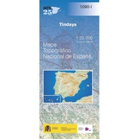 Topografische kaart 1090-I Tindaya (Fuerteventura) | CNIG - Instituto Geográfico Nacional
 Topografische kaart 1090-II Tetir (Fuerteventura) | CNIG - Instituto Geográfico Nacional
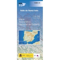 Topografische kaart 1090-III Valle de Santa Inés (Fuerteventura) | CNIG - Instituto Geográfico Nacional
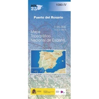 Topografische kaart 1090-IV Puerto del Rosario (Fuerteventura) | CNIG - Instituto Geográfico Nacional
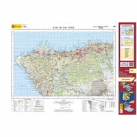 Topografische kaart 1091 MT50 Icod de los Vinos (Tenerife) | CNIG - Instituto Geográfico Nacional1
 Wandelkaart - Topografische kaart 1091 Zürich | Swisstopo
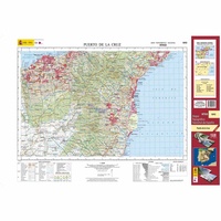 Topografische kaart 1092 MT50 Puerto de la Cruz (Tenerife) | CNIG - Instituto Geográfico Nacional1
 Wandelkaart - Topografische kaart 1092 Uster | Swisstopo
 Topografische kaart 1092-II Candelaria | CNIG - Instituto Geográfico Nacional
 Topografische kaart 1093 MT50 Antigua (Fuerteventura) | CNIG - Instituto Geográfico Nacional1
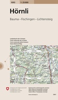 Wandelkaart - Topografische kaart 1093 Hörnli | Swisstopo
 Topografische kaart 1094 MT50 El Castillo (Fuerteventura) | CNIG - Instituto Geográfico Nacional1
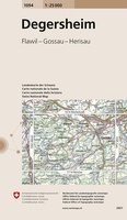 Wandelkaart - Topografische kaart 1094 Degersheim | Swisstopo
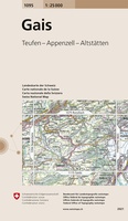 Wandelkaart - Topografische kaart 1095 Gais | Swisstopo
Laatste reviews

Een zeer onhandige wegenkaart
Wij dachten er goed aanrecht doen een zeer uitgebreide wegenatlas aan te schaffen, maar toen wij deze goed bestudeerden kwamen wij erachter dat dit een …
★★★★★ door Herman van Mal 18 juni 2026 | Heeft dit artikel gekocht
Nuttige en handige reisgids!
De gids geeft brede informatie over Transsylvanië, inclusief zijn gecompliceerde geschiedenis, musea, kerken en andere bezienswaardigheden, en wat praktische zaken. Dit laatste onderwerp is wel …
★★★★★ door Frank Bakx 16 juni 2026 | Heeft dit artikel gekocht
Super service
Makkelijk bestelproces. Snel geleverd en goede service!
★★★★★ door tanja kleerekoper 16 juni 2026 | Heeft dit artikel gekocht
Wandelkaart Noord Drente / Drentse Aa
Prachtige wandelkaart.Handzaam mooie routes. Prima verpakt en snel verzonden!
★★★★★ door Gerard 16 juni 2026 | Heeft dit artikel gekocht