Top 25
De kaarten van IGN (kort voor Institute Geographique National), wandelkaarten voor Frankrijk, zijn van een ongekend hoog niveau. Met name de wandelkaarten 1:25.000 vinden wij geweldig: werkelijk alles staat erop, de kaarten bevatten zeer veel details en het kleurgebruik is fantastisch, waardoor alles ook nog eens heel goed leesbaar. Je hoort het: wij zijn fan van deze kaarten!
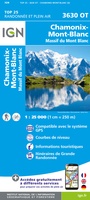 Wandelkaart - Topografische kaart 3630OT Chamonix-Mont-Blanc | IGN - Institut Géographique National★★★★★★★★★★
 Wandelkaart 3630OTR Chamonix-Mont-Blanc | IGN - Institut Géographique National★★★★★
 Wandelkaart - Topografische kaart 3633ET Tignes - Val d'Isère | IGN - Institut Géographique National★★★★★
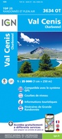 Wandelkaart - Topografische kaart 3634OT Val Cenis | IGN - Institut Géographique National★★★★★★★★★★
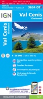 Wandelkaart - Topografische kaart 3634OTR Val Cenis | IGN - Institut Géographique National
 Wandelkaart - Topografische kaart 3637OT Mont Viso | IGN - Institut Géographique National★★★★★
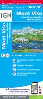 Wandelkaart - Topografische kaart 3637OTR Mont Viso | IGN - Institut Géographique National★★★★★
 Wandelkaart - Topografische kaart 3639OT Haute Tinée 1 | IGN - Institut Géographique National
 Wandelkaart - Topografische kaart 3640ET Haute Tinée 2 | IGN - Institut Géographique National
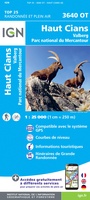 Wandelkaart - Topografische kaart 3640OT Haut Cians | IGN - Institut Géographique National
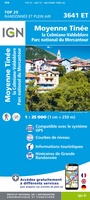 Wandelkaart - Topografische kaart 3641ET Moyenne Tinée | IGN - Institut Géographique National
 Wandelkaart 3641OT Moyen Var | IGN - Institut Géographique National
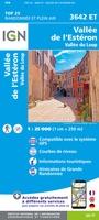 Wandelkaart - Topografische kaart 3642ET Vallée de l'Esteron | IGN - Institut Géographique National
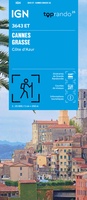 Wandelkaart 3643ET Cannes / Grasse / Côte d'Azur | IGN - Institut Géographique National
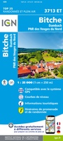 Wandelkaart - Topografische kaart 3713ET Pays de Bitche - Dambach - PNR des Vosges du Nord | IGN - Institut Géographique National
 Wandelkaart - Topografische kaart 3714ET la Petite Pierre - Petite Pierre, Niederbronn-les-Bains, PNR Vosges du Nord | IGN - Institut Géographique National
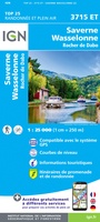 Wandelkaart - Topografische kaart 3715ET Wasselone - Rocher de Dabo - Saverne | IGN - Institut Géographique National
 Wandelkaart - Topografische kaart 3715OT Sarrebourg - Phalsbourg - Pays des Etangs | IGN - Institut Géographique National★★★★★
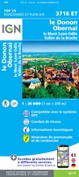 Wandelkaart - Topografische kaart 3716ET le Donon, Obernai, Mont Ste-Odile | IGN - Institut Géographique National★★★★★
 Wandelkaart - Topografische kaart 3717ET Barr - Le Howald - Villé - Vallée de la Bruche | IGN - Institut Géographique National★★★★★
Laatste reviews

Bevat de gehele Picos de Europa. Goed in detail. Alle routes GR en PR-PNPE. Refugres en nog veel meer. Schaal 1 op 25.000 is fijn …
★★★★★ door M H 03 april 2026 | Heeft dit artikel gekocht
De bestelling snel en netjes afgehandeld
★★★★★ door Tiny Waltmans 03 april 2026 | Heeft dit artikel gekocht
Ik ben dol op de veldkaarten over verschillende vogelsoorten, per land of werelddelen. Deze keer de kaart besteld over vogelsoorten in Afrika en tijdens mijn …
★★★★★ door Kelly Bosch 02 april 2026 | Heeft dit artikel gekocht
Precies wat ik zocht. De informatie op de website was duidelijk en klopte. Het was eerst niet leverbaar, maar ik had aangegeven dat ik bericht …
★★★★★ door Mieke van den Broek 01 april 2026 | Heeft dit artikel gekocht