Top 25
De kaarten van IGN (kort voor Institute Geographique National), wandelkaarten voor Frankrijk, zijn van een ongekend hoog niveau. Met name de wandelkaarten 1:25.000 vinden wij geweldig: werkelijk alles staat erop, de kaarten bevatten zeer veel details en het kleurgebruik is fantastisch, waardoor alles ook nog eens heel goed leesbaar. Je hoort het: wij zijn fan van deze kaarten!
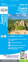 Wandelkaart - Topografische kaart 3445OT Cuers | IGN - Institut Géographique National
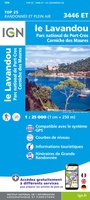 Wandelkaart - Topografische kaart 3446ET Le Lavandou | IGN - Institut Géographique National
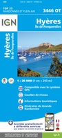 Wandelkaart - Topografische kaart 3446OT Hyères | IGN - Institut Géographique National
 Wandelkaart - Topografische kaart 3518OT Epinal | IGN - Institut Géographique National
 Wandelkaart - Topografische kaart 3519OT Remiremont | IGN - Institut Géographique National★★★★★
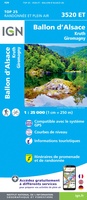 Wandelkaart - Topografische kaart 3520ET Ballon d'Alsace | IGN - Institut Géographique National★★★★★★★★★★
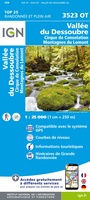 Wandelkaart - Topografische kaart 3523OT Vallee-du-Desoubre | IGN - Institut Géographique National
 Wandelkaart - Topografische kaart 3524OT Morteau | IGN - Institut Géographique National
 Wandelkaart - Topografische kaart 3528ET Morzine | IGN - Institut Géographique National★★★★★
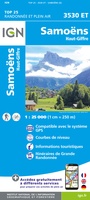 Wandelkaart - Topografische kaart 3530ET Samoëns | IGN - Institut Géographique National★★★★★
 Wandelkaart - Topografische kaart 3531ET Saint-Gervais-les-Bains | IGN - Institut Géographique National★★★★★
 Wandelkaart - Topografische kaart 3531OT Megève | IGN - Institut Géographique National★★★★★
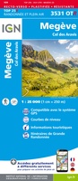 Wandelkaart - Topografische kaart 3531OTR Megève | IGN - Institut Géographique National
 Wandelkaart - Topografische kaart 3532ET les Arcs - la Plagne | IGN - Institut Géographique National★★★★★
 Wandelkaart - Topografische kaart 3532OT Massif du Beaufortain | IGN - Institut Géographique National
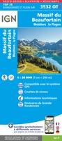 Wandelkaart - Topografische kaart 3532OTR Massif du Beaufortain | IGN - Institut Géographique National
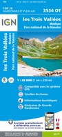 Wandelkaart - Topografische kaart 3534OT Les Trois Vallées | IGN - Institut Géographique National★★★★★
 Wandelkaart - Topografische kaart 3535OT Névache - Mont Thabor | IGN - Institut Géographique National★★★★★★★★★★
 Wandelkaart - Topografische kaart 3536OT Briançon | IGN - Institut Géographique National★★★★★★★★★★
 Wandelkaart - Topografische kaart 3536OTR Briançon | IGN - Institut Géographique National
Laatste reviews

Dit boekje met beknopte omschrijving en de erin afgedrukte wandel(deel)kaarten vormen een prima basis voor het rondje Limburg. Je bent vrij om te bepalen waar …
★★★★★ door Greenline 29 december 2025 | Heeft dit artikel gekocht
Snel geleverd en goede wandelkaart
★★★★★ door Rinske 29 december 2025 | Heeft dit artikel gekocht
De ervaring met KOMPASS kaart/gids is wederom positief. Om een wandelvakantie voor te bereiden is dit een perfecte combinatie. Door de hoogteprofielen welke zijn afgedrukt …
★★★★★ door Greenline 29 december 2025 | Heeft dit artikel gekocht
Precies wat ik wilde en in een mooi mapje
★★★★★ door Mignon besselink 29 december 2025 | Heeft dit artikel gekocht