SB - Serie Bleue
De kaarten van IGN (kort voor Institute Geographique National), wandelkaarten voor Frankrijk, zijn van een ongekend hoog niveau. Met name de wandelkaarten 1:25.000 vinden wij geweldig: werkelijk alles staat erop, de kaarten bevatten zeer veel details en het kleurgebruik is fantastisch, waardoor alles ook nog eens heel goed leesbaar. Je hoort het: wij zijn fan van deze kaarten!
 Wandelkaart - Topografische kaart 2406 SB - Serie Bleue Arras, Avesnes-le-Comte | IGN - Institut Géographique National
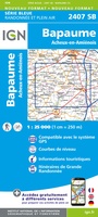 Wandelkaart - Topografische kaart 2407 SB - Serie Bleue Bapaume, Acheux-en-Amiénois | IGN - Institut Géographique National
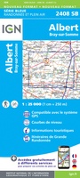 Wandelkaart - Topografische kaart 2408 SB - Serie Bleue Bray-sur-Somme, Albert | IGN - Institut Géographique National
 Wandelkaart - Topografische kaart 2409 SB - Serie Bleue Roye | IGN - Institut Géographique National
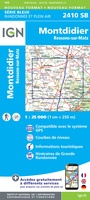 Wandelkaart - Topografische kaart 2410 SB - Serie Bleue Ressons-sur-Matz, Montdidier | IGN - Institut Géographique National
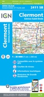 Wandelkaart - Topografische kaart 2411 SB - Serie Bleue Estrées-St-Denis, Clermont | IGN - Institut Géographique National
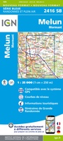 Wandelkaart - Topografische kaart 2416 SB - Serie Bleue Melun, Mormant | IGN - Institut Géographique National
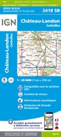 Wandelkaart - Topografische kaart 2418 SB - Serie Bleue Château-Landon, Corbeilles | IGN - Institut Géographique National
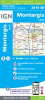 Wandelkaart - Topografische kaart 2419 SB - Serie Bleue Montargis - Lorris | IGN - Institut Géographique National
 Wandelkaart - Topografische kaart 2420 SB - Serie Bleue Châtillon-Coligny, Nogent-sur-Vernisson | IGN - Institut Géographique National
 Wandelkaart - Topografische kaart 2421 SB - Serie Bleue Briare | IGN - Institut Géographique National
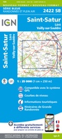 Wandelkaart - Topografische kaart 2422 SB - Serie Bleue St-Satur, Léré, Vailly-sur-Sauldre | IGN - Institut Géographique National
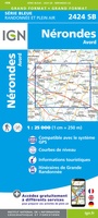 Wandelkaart - Topografische kaart 2424 SB - Serie Bleue Nérondes - Avord | IGN - Institut Géographique National
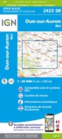 Wandelkaart - Topografische kaart 2425 SB - Serie Bleue Dun-sur-Aubron - Blet | IGN - Institut Géographique National
 Topografische kaart - Wandelkaart 2426 SB - Serie Bleue Charenton-du-Cher | IGN - Institut Géographique National
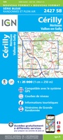 Topografische kaart - Wandelkaart 2427 SB - Serie Bleue Cérilly | IGN - Institut Géographique National
 Wandelkaart - Topografische kaart 2428 SB - Serie Bleue Montluçon | IGN - Institut Géographique National
 Wandelkaart - Topografische kaart 2429 SB - Serie Bleue Saint-Éloy-les-Mines | IGN - Institut Géographique National
 Wandelkaart - Topografische kaart 2430 SB - Serie Bleue Saint-Gervais d'Auvergne | IGN - Institut Géographique National
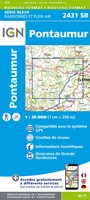 Wandelkaart - Topografische kaart 2431 SB - Serie Bleue Pontaumur | IGN - Institut Géographique National
Laatste reviews

Rother wandelgidsen stellen nooit teleur. Mooie routes, goede opgave kilometers, hoogtemeters en horeca. Een aanrader!
★★★★★ door Anita Geel 13 januari 2026 | Heeft dit artikel gekocht
Mooi boek met prachtige foto’s! Voldoet helemaal aan mijn verwachtingen.
★★★★★ door Hans Eldering 13 januari 2026 | Heeft dit artikel gekocht
het product voldeed aan mijn verwachtingen en was geplastificeerd wat natuurlijk perfect is voor kaart die veel wordt geraadpleegd!
★★★★★ door Peter Lantinga 13 januari 2026 | Heeft dit artikel gekocht
Ik heb de wegenkaart Maleisië aangeschaft om zelf een rondreis per huurauto te kunnen plannen. Deze kaart heeft daar heel goed bij geholpen doordat er …
★★★★★ door M. Rizvi 13 januari 2026 | Heeft dit artikel gekocht