Wandkaart Zuid Amerika politiek, 100 x 120 cm | Maps International (9781903030844)
papieren versie

- ISBN / CODE: 9781903030844
- Editie: 10-01-2022
- Aantal blz.: 1
- Schaal: 1:7000000
- Uitgever: Maps International
- Soort: Wandkaart van continenten
- Taal: Engels
- Hoogte: 120.0 cm
- Breedte: 99.0 cm
- Gewicht: 266.0 g
- Cartografie: Politiek
- Uitvoering: Papier
- Bindwijze: -
- Beoordeling: 5,0 ★★★★★ (2 reviews) Schrijf een review
-
€ 27,95
Uitverkocht, nooit meer leverbaar

Beschrijving
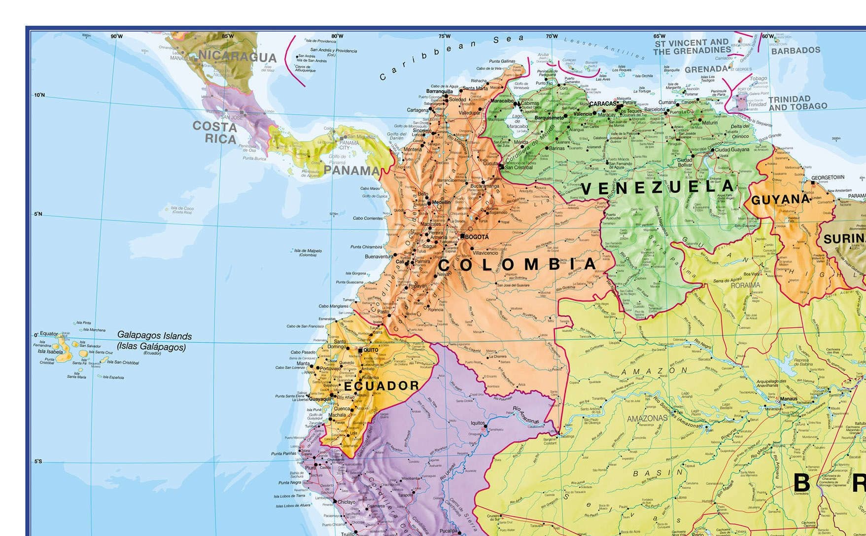
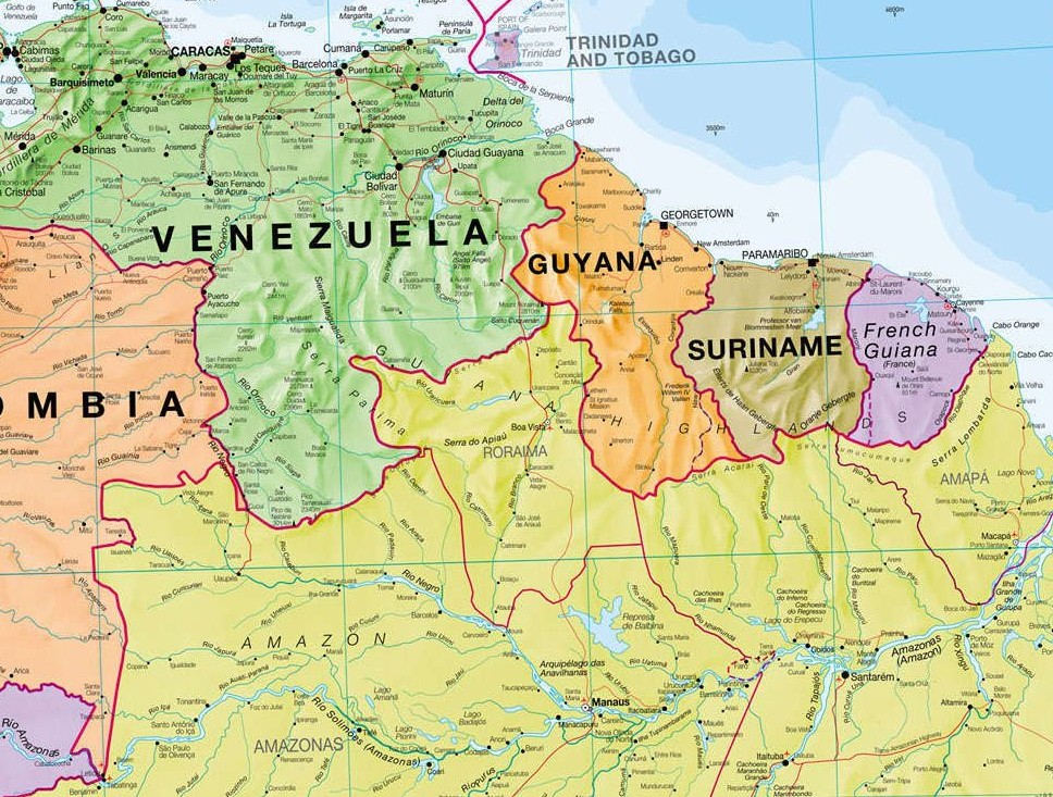
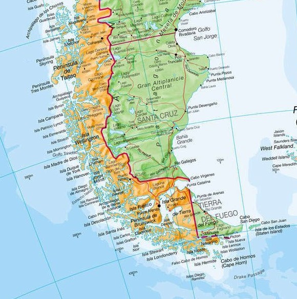
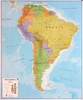
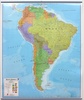
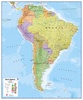
Fraaie politieke kaart van het continent, waarbij vooral de politieke aspecten heel duidelijk te lezen zijn. Alle landen hebben verschillende kleuren, steden en belangrijke verbindingen zijn goed te vinden.
Maps International's South America political wall map shows all countries in South America from Venezuela and the Grenadine Islands down to Argentina and the most Southerly points of Chile and the Falkland Islands.
Dit product heeft meerdere varianten:

Reviews
Mooie kleuren, zoals verwacht
★★★★★ door Don Duyshart 15 oktober 2021 | Heeft dit artikel gekochtVond u dit een nuttige review? (login om te beoordelen)
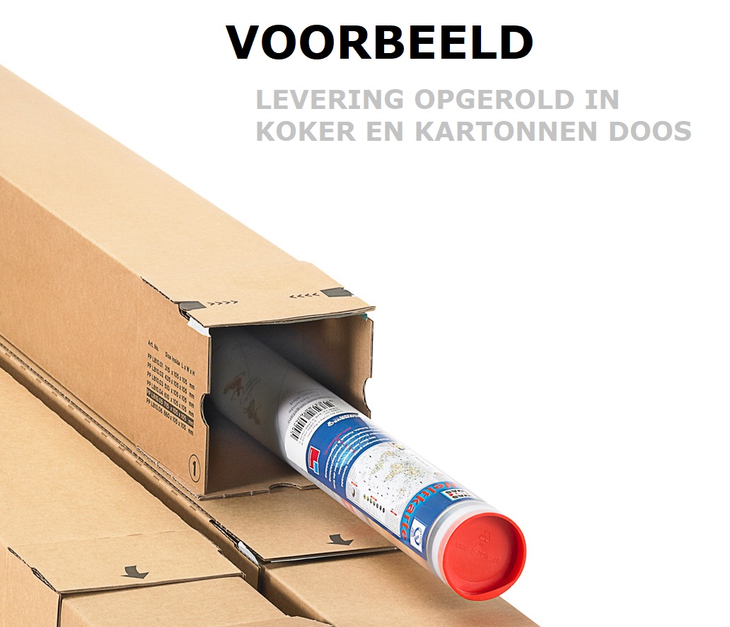
De bestelling is in goede orde ontvangen. De uitlevering was razend snel, de verpakking boven verwachting goed (super, de plastiek kokers). Uw service (reactietijd en vriendelijk) vind ik prima.
★★★★★ door Martin Siller 2 september 2013Vond u dit een nuttige review? (login om te beoordelen)
Schrijf een review
Graag horen wij wat u van dit artikel vindt. Vindt u het goed, leuk, mooi, slecht, lelijk, onbruikbaar of erg handig: schrijf gerust alles op! Het is niet alleen leuk om te doen maar u informeert andere klanten er ook nog mee!
Ook interessant voor zuid-amerika
-

Wegenkaart - landkaart South America
€ 14,95Wegenkaarten Zuid-Amerika -

Wandelgids Epic Hikes of the America
€ 34,95Wandelgidsen Midden-Amerika -

Reisinspiratieboek Lonely Planet's u
€ 29,99Reisinspiratieboeken Afrika -

Wegenatlas Travel Atlas South Americ
€ 16,95Wegenatlassen Zuid-Amerika -

Wandkaart - Magneetbord Zuid Amerika
€ 269,00Magneetborden Zuid-Amerika
Contactgegevens
T: +31 (0)50 - 3 12 69 50
E: info@dezwerver.nl
![]()
![]()
![]()
![]()
![]()
Bankgegevens
IBAN: NL11 RABO 0140 1961 88
BIC: RABONL2U
Kamer van Koophandel
Kvk: 75240440
BTW-nummer
NL 860203633 B01
BE 0541 545 456
Openingstijden klantenservice
- Maandag10.00 - 12.30 en 13.30 - 17.00
- Dinsdag10.00 - 12.30 en 13.30 - 17.00
- Woensdag10.00 - 12.30 en 13.30 - 17.00
- Donderdag10.00 - 12.30 en 13.30 - 17.00
- Vrijdag10.00 - 12.30 en 13.30 - 17.00
- Zaterdaggesloten
- Zondaggesloten
Nieuwsbrief
Op de hoogte blijven van nieuwe reisgidsen, travelgadgets en kaarten? Geef u op voor onze nieuwsbrief. U ontvangt de nieuwsbrief 1x per maand.
Bekijk hier onze laatste nieuwsbrief:
Onze laatste Nieuwsbrief