Wegenkaarten - Oceanië
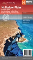 Wegenkaart - landkaart Explorer Map Nullarbor Plain - Eastern Map | Hema Maps
This map is part of Hema's new Nullarbor Plain Map Series (East and West) and covers Border Village to Port Pirie including the Eyre Peninsula. Truly one of the …
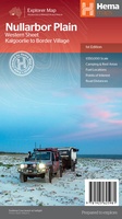 Wegenkaart - landkaart Explorer Map Nullarbor Plain - Western Map | Hema Maps
This map is part of Hema's new Nullarbor Plain Map Series and covers the area from Kalgoorlie to Border Village and its surrounds. Truly one of the worlds great …
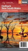 Wegenkaart - landkaart Explorer Map Outback New South Wales Map | Hema Maps
A regional map of outback NSW (1:1,100,000) that ranges from Tamworth in the east to Broken Hill in the west, as well as from Wagga Wagga in the south to …
★★★★★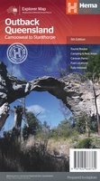 Wegenkaart - landkaart Explorer Map Outback Queensland | Hema Maps
Outback Queensland Map (4th edition - now on Waterproof Paper) Outback Queensland (QLD) contains mapping and visitor information for one of the most iconic regions in Australia. Mapping at a …
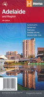 Wegenkaart - landkaart Adelaide and Region | Hema Maps
Mooie, duidelijk kaart van Adelaide en de omgeving van Adelaide. Schaal: deels 1:80.000 en deels 1:270000 Great for use in the car, Hema's State Maps clearly show highways, minor and …
★★★★★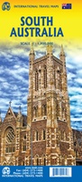 Wegenkaart - landkaart Australia South & Northern Territory | ITMB
Australia was one of the first countries ITMB published, back in the 1980s, albeit a licensed version. Our own original artwork was completed in the mid-1990s, but until recently, we …
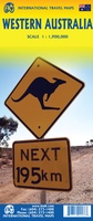 Wegenkaart - landkaart Western Australia | ITMB
The State of Western Australia occupies the western third of the continental country of Australia. The main city is Perth, in the southwest portion, and this is the part of …
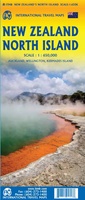 Wegenkaart - landkaart New Zealand North Island | ITMB
ITMB is very pleased to be expanding our coverage of New Zealand with the release of this fourth title (the others being the country map, the South Island, and Auckland). …
 Wegenkaart - landkaart New Zealand - South Island | ITMB
Een degelijke kaart met aanduidingen van o.a. nationale parken, vliegveld, benzinepomp, dirt-roads en kleine plattegrond van hoofdstad. Als overzichtskaart goed te gebruiken. All of New Zealand is a travel …
★★★★★ Wegenkaart - landkaart South America and Antarctica | National Geographic
• Waterproof • Tear-Resistant • Reference Map Expertly researched and designed, National Geographic's South America and Antarctica Flags & Facts Map is the authoritative map of South America by …
 Wegenkaart - landkaart Australia and Oceania | National Geographic
• Waterproof • Tear-Resistant • Reference Map Expertly researched and designed, National Geographic's Australia and Oceania Flags & Facts Map is the authoritative map of Australia by which other …
 Wegenkaart - landkaart Antarctic Explorer | Ocean Explorer Maps
An excellent foldout map of Antarctica. On one side there is a map of the Antarctic continent, around which succinct biographies of Antarctic explorers from William Spiers Bruce to Edward …
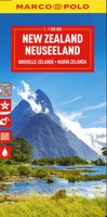 Wegenkaart - landkaart Nieuw Zeeland - New Zealand | Marco Polo
Duidelijke wegenkaart van Marco Polo: alle wegen, zowel de verharde als belangrijke onverharde wegen zijn weergegeven. Mooie toeristisch interessante wegen die de moeite waard zijn, zijn groen gearceerd. Veel toeristische …
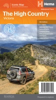 Wegenkaart - landkaart Iconic Map The High Country | Hema Maps
Detailkaart van een deel van Australië. Zeer goed leesbaar, met naast de topografische details veel symbolen waarmee allerhande toeristische zaken worden aangeduid als campsites, nationale parken, attracties, wandelmogelijkheden etc. This …
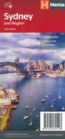 Wegenkaart - landkaart - Stadsplattegrond Sydney and Region | Hema Maps
A map that has the greater Sydney region (1:100,000) on one side and a lower scale overview map of the city and surrounding regions on the reverse. Also included are …
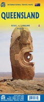 Wegenkaart - landkaart Queensland | ITMB
Een degelijke wegenkaart van Queensland met aanduidingen van o.a. nationale parken, vliegveld, benzinepomp, dirt-roads en kleine plattegrond van hoofdstad. Als overzichtskaart goed te gebruiken. We complete our series of regional …
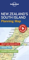 Wegenkaart - landkaart Planning Map New Zealand's South Island - Zuidereiland Nieuw Zeeland | Lonely Planet
Durable and waterproof, with a handy slipcase and an easy-fold format, Lonely Planet's New Zealand's South Island Planning Map helps you explore with ease. Get more from your map and …
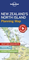 Wegenkaart - landkaart Planning Map New Zealand's North Island - noordereiland Nieuw Zeeland | Lonely Planet
Durable and waterproof, with a handy slipcase and an easy-fold format, Lonely Planet's New Zealand's North Island Planning Map helps you explore with ease. Get more from your map and …
★★★★★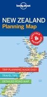 Wegenkaart - landkaart Planning Map New Zealand - Nieuw Zeeland | Lonely Planet
Durable and waterproof, with a handy slipcase and an easy-fold format, Lonely Planet New Zealand Planning Map is your conveniently-sized passport to traveling with ease. Get more from your map …
★★★★★ Wegenkaart - landkaart South Pacific Cruising & Samoa | ITMB
Een overzichtskaart van de zuidelijke Stille Oceaan met de cruise routes tussen de verschillende eilanden aangegeven. Op de achterzijde een overzichtskaart van Samoa This is a new venture for ITMB. …
Laatste reviews

Op de hoogte gehouden van de vertraging. Zodra binnen, snel verstuurd. Hartelijk dank!
★★★★★ door Els van Blokland 24 april 2024 | Heeft dit artikel gekocht
Wij zijn erg blij met deze wandelkaart, alles staat zeer duidelijk aangegeven, voordeel is dat de kaart geplastificeerd is, deze kaart is het geld zeker …
★★★★★ door Rene van den Driesche 24 april 2024 | Heeft dit artikel gekocht
Uit het ruime aanbod kaarten een kaart met veel details gekozen, waarmee de voorbereiding van reis leuk wordt
★★★★★ door Ad 24 april 2024 | Heeft dit artikel gekocht
Handige informatieve kaart van de kust van Normandie van D Day.Wij gebruiken de kaart voor het voorbereiden van de Herdenking 80 jaar.
★★★★★ door Mary 24 april 2024 | Heeft dit artikel gekocht