Wegenkaart - landkaart Explorer Map Mid North Coast, New South Wales | Hema Maps (9781922668226)
Featuring Barrington Tops NP
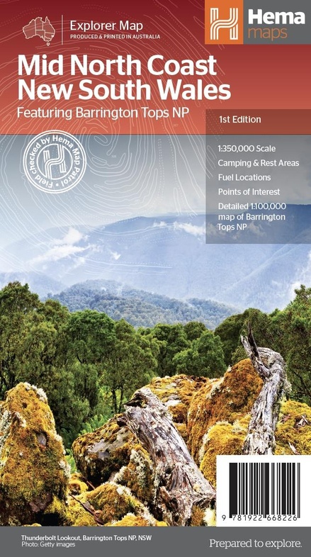
- ISBN / CODE: 9781922668226
- Schaal: 1:350000
- Uitgever: Hema Maps
- Soort: Wegenkaart
- Serie: Explorer Map
- Taal: Engels
- Bindwijze: -
- Uitvoering: Papier
- Schrijf als eerste een review
-
€ 15,95
Op voorraad. Voor 17.00 uur op werkdagen besteld, morgen in huis in Nederland Levertijd Belgie
Gratis verzending in Nederland vanaf €35,-
Beschrijving
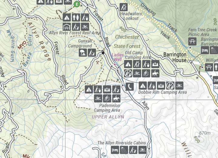
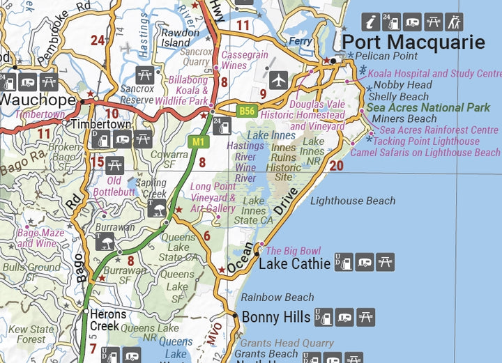
Detailkaart van een deel van Australië. Zeer goed leesbaar, met naast de topografische details veel symbolen waarmee allerhande toeristische zaken worden aangeduid als campsites, nationale parken, attracties, wandelmogelijkheden etc.
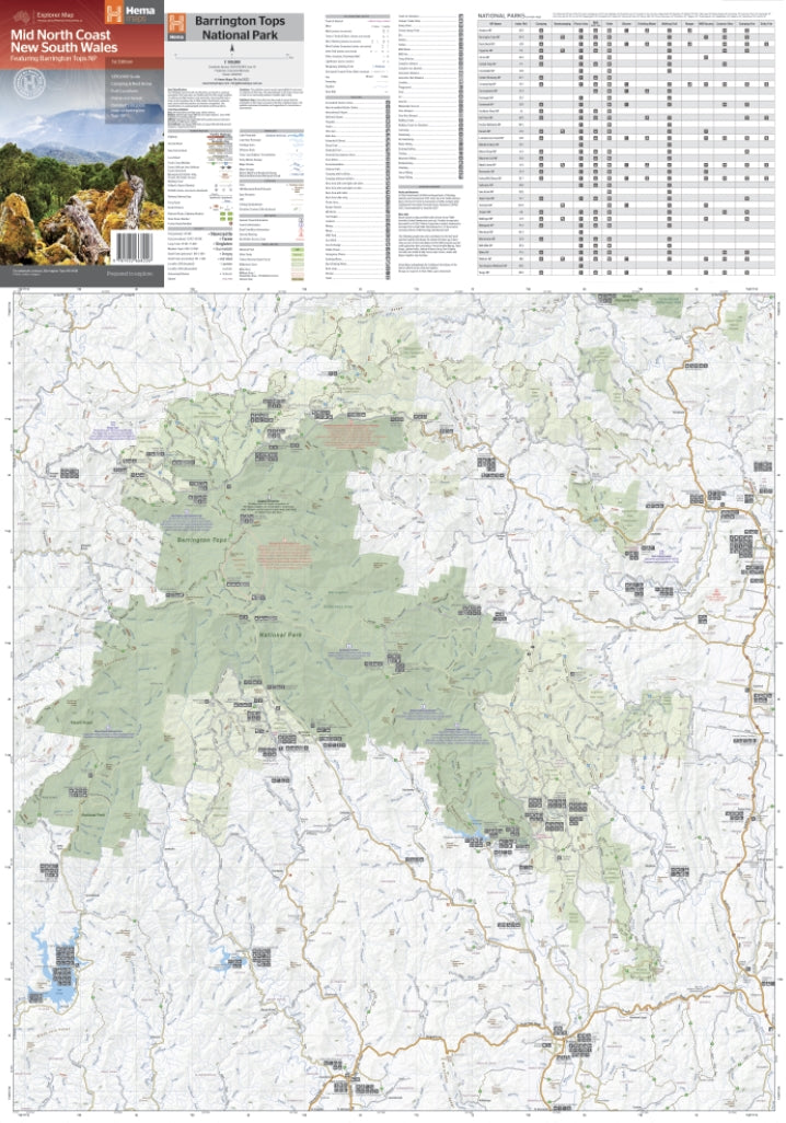
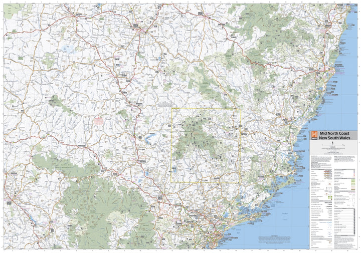
A regional map of the Mid North Coast of New South Wales (1:350,000) that ranges from Northern Newcastle, west to Mudgee, as far as Gunnedah in the North and East to Port Macquarie. Covered regions in the map include; Gunnedah, Tamworth, Mudgee, Port Macquarie, Maitland, Kempsey, Taree, and Forster. Also includes the following National Parks; Barrington Tops NP, Oxley Wild Rivers NP, Hat Head NP, Carrai NP, Werrikimbe NP, Cottan-Bimbang NP, Mummel Gulf NP, Nowendoc NP, Curracabundi NP, Wollemi NP, Goulburn River NP, Yengo NP, and Towarri NP. On the opposite side is a detailed inset map of the Barrington Tops National Park (at 1:100,000 scale) plus extensive information on numerous regions, including visitor, historical and background information.
Reviews
Geen reviews gevonden voor dit product.
Schrijf een review
Graag horen wij wat u van dit artikel vindt. Vindt u het goed, leuk, mooi, slecht, lelijk, onbruikbaar of erg handig: schrijf gerust alles op! Het is niet alleen leuk om te doen maar u informeert andere klanten er ook nog mee!
Ook interessant voor oceanie/australie/victorianewsouthwaleszuidoostaustralie
-

Wegenkaart - landkaart Planning Map
€ 10,95Wegenkaarten Victoria - New South Wales Zuidoost Australië -

Reisgids East Coast Australia | Lone
€ 22,50Reisgidsen Queensland - Noordoost Australië -

Wegenatlas Victoria High Country Atl
€ 46,95Wegenatlassen Victoria - New South Wales Zuidoost Australië -

Wegenkaart - landkaart Australia Sou
€ 13,95Wegenkaarten Northern Territories - Noord Australië -

Wegenkaart - landkaart New South Wal
€ 11,50Wegenkaarten Victoria - New South Wales Zuidoost Australië