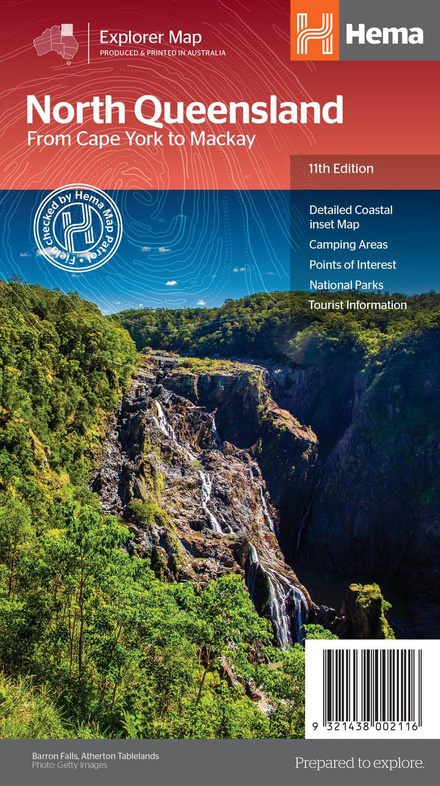
Wegenkaart - landkaart Explorer Map North Queensland | Hema Maps (9321438002116)
- ISBN / CODE: 9321438002116
- Editie: 01-12-2013
- Druk: 11
- Aantal blz.: 1
- Schaal: 1:1750000
- Uitgever: Hema Maps
- Soort: Wegenkaart
- Serie: Explorer Map
- Taal: Engels
- Hoogte: 25.0 cm
- Breedte: 14.0 cm
- Gewicht: 92.0 g
- Uitvoering: Papier
- Bindwijze: -
- Beoordeling: 5,0 ★★★★★ (1 review) Schrijf een review
-
€ 17,95
Leverbaar in 3 - 5 werkdagen in huis in Nederland Levertijd Belgie
Gratis verzending in Nederland vanaf €50,-
.jpg)

.jpg)
.gif)
Beschrijving
Detailkaart van een deel van Australië. Zeer goed leesbaar, met naast de topografische details veel symbolen waarmee allerhande toeristische zaken worden aangeduid als campsites, nationale parken, attracties, wandelmogelijkheden etc.
Covering Australia's beautiful North Queensland. There is alot of town map insets, tourist information, and photographs on the reverse side
Touring map of the northern half of Queensland, with enlargements of popular areas, street plans, lists of facilities, etc. The main map extends south to well beyond the Flinders Highway between Townsville and Mount Isa, including Mackay on the coast. The map shows the road network, including minor roads and unsurfaced tracks, plus railways and local airfields/aerodromes. Designated Tourist Routes are highlighted and symbols mark places of interest (many annotated with brief description), historical sites, tourist resorts, youth hostels, etc. Topography is indicated by names of mountain ranges and peaks, as well as by numerous rivers and creeks. National parks and aboriginal lands are highlighted. Along the eastern coast the map shows numerous coral reefs and islands of the Great Barrier Reef. Latitude/longitude grid is drawn at intervals of 1º.
On the reverse there are two enlargements: the area around Mackays with the Whitsunday Islands and the coastline of the Tropical North Queensland with the Atherton Tableland, plus plans showing main streets in Cairns, Mt Isa, Mackay and Townsville. The map also contains numerous travel tips and contact addresses, lists of facilities in popular national parks, wildlife areas, state forests and dam recreational areas, and a diagram of the 4WD track/developmental road from Lakeland across the interior of the peninsula to Cape York.
Reviews
Geweldig dat je deze kaarten hier kunt bestellen. Ze zijn up-to-date en gedetailleerd met extra vergroting van belangrijke elementen. Hoewel de schaal fors is (1:550.000 voor de belangrijkste kaart) kan ik hier uitstekend mee uit de voeten. Kwaliteit van het papier is ook heel goed met een ruime index.
★★★★★ door Erik & Erica 17 oktober 2024 | Heeft dit artikel gekochtVond u dit een nuttige review? (login om te beoordelen)
Schrijf een review
Graag horen wij wat u van dit artikel vindt. Vindt u het goed, leuk, mooi, slecht, lelijk, onbruikbaar of erg handig: schrijf gerust alles op! Het is niet alleen leuk om te doen maar u informeert andere klanten er ook nog mee!
Ook interessant voor oceanie/australie/queenslandnoordoostaustralie
-

Reisgids PassePartout Australië - ee
€ 24,50Reisgidsen New South Wales Zuidoost Australië -

Stadsplattegrond Brisbane and Region
€ 14,95Stadsplattegronden Queensland - Noordoost Australië -

Wegenkaart - landkaart Queensland ha
€ 14,95Wegenkaarten Queensland - Noordoost Australië -

Wegenatlas Cape York Atlas & Guide |
€ 45,95Wegenatlassen Queensland - Noordoost Australië -

Wegenkaart - landkaart Sydney & Aust
€ 14,95Wegenkaarten New South Wales Zuidoost Australië