Winkelwagen
Geen items in winkelwagen
Ga naar winkelwagen
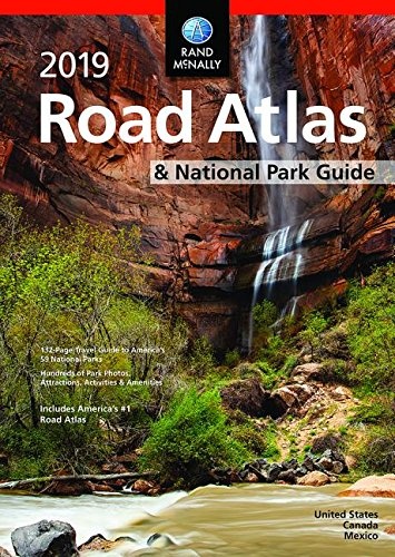
Wegenatlas National Park and USA Atlas & Guide 2019 | Rand McNally (9780528019586)
Wegenatlas en Nationale Parken bij elkaar in één wegenatlas
- ISBN / CODE: 9780528019586
- Editie: 2019
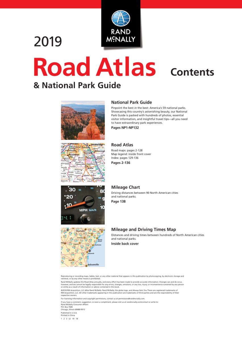
- Aantal blz.: 272
- Auteur(s): Rand McNally
- Uitgever: Rand McNally
- Soort: Wegenatlas
- Taal: Engels
- Uitvoering: met ringband
- Schrijf als eerste een review
-
€ 26,95
Uitverkocht, nooit meer leverbaar
Beschrijving
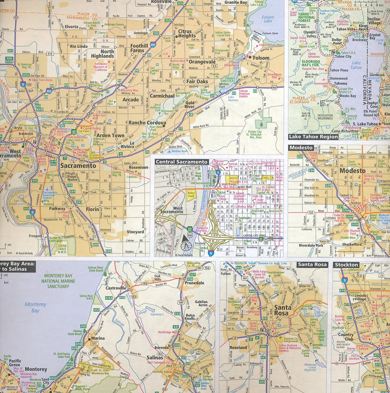
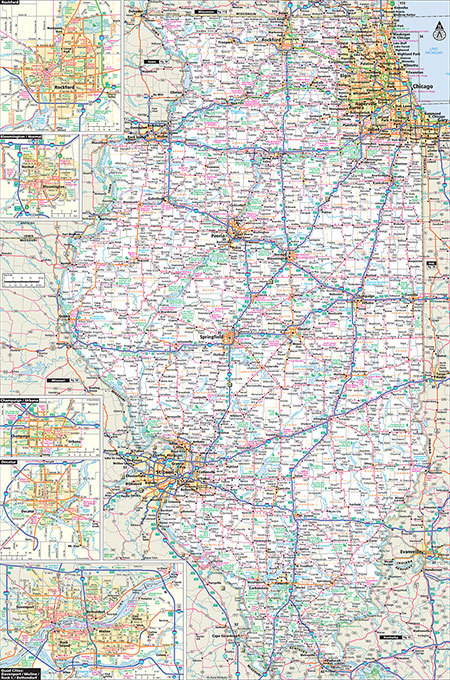
De beroemde wegenatlas van Rand McNally op groot formaat, bijna dubbel A4. Elke staat een eigen, of soms zelfs twee pagina's. Uitgebreid register. Zoals de Amerikanen zelf zeggen: America's number 1 Road Atlas! Canada en Mexico staan er zeer beperkt in. Uitgevoerd in stevige ringband.
De schaal is per staat verschillend, afhankelijk van de grootte van een staat.
Pinpoint the best in the best:
America's 59 national parks. With essential information and tips, hundreds of photos
and maps, and a complete road atlas, this guide is all you need to have extraordinary park experiences.
A four-color, 132-page National Park Guide details the best of the best in each park---from trails, drives, and natural wonders to programs, museums, and lodges.
Hundreds of photos capture the essence of each park.
Park inset maps highlight key points-of-interest.
A completely updated 2019 Road Atlas makes mapping out and taking trips a breeze!
Other Features
Updated maps of every U.S. state and Canadian province and an overview map of Mexico
Inset maps of over 350 cities and 20 U.S. national parks
Road construction and conditions contact information for every state conveniently located above the maps
Mileage chart showing distances between 90 North American cities and national parks along with a driving times map
Tell Rand! As much as we work to keep our atlases up to date, conditions change quickly and new construction projects begin frequently. If you know of something we haven't captured in our atlas, let us know at randmcnally.com/tellrand.
Tourism websites and phone numbers for every U.S. state and Canadian province on map pages
Reviews
Geen reviews gevonden voor dit product.
Schrijf een review
Graag horen wij wat u van dit artikel vindt. Vindt u het goed, leuk, mooi, slecht, lelijk, onbruikbaar of erg handig: schrijf gerust alles op! Het is niet alleen leuk om te doen maar u informeert andere klanten er ook nog mee!
Alle gerelateerde rubrieken >
Ook interessant voor noord-amerika/verenigde-staten-van-amerika/nationale-parken
-

Natuurgids Adventure Set Yellowstone
€ 18,50Natuurgidsen Nationale Parken Verenigde Staten van Amerika -

Wegenkaart - landkaart Planning Map
€ 10,95Wegenkaarten Nationale Parken Verenigde Staten van Amerika -

Reisinspiratieboek The Parklands | G
€ 55,95Reisinspiratieboeken Nationale Parken Verenigde Staten van Amerika -

Wandelkaart 230 Hawaii Volcanoes Nat
€ 16,95Wandelkaarten Nationale Parken Verenigde Staten van Amerika -

Reisgids Guide to the National Parks
€ 29,50Reisgidsen Nationale Parken Verenigde Staten van Amerika