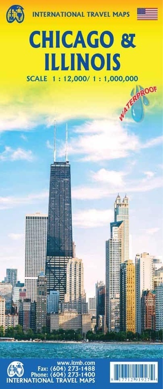
Wegenkaart - landkaart Chicago & Illinois | ITMB (9781771291927)
- ISBN / CODE: 9781771291927
- Editie: 21-03-2025
- Druk: 4
- Aantal blz.: 1
- Schaal: 1:12500
- Uitgever: ITMB
- Soort: Wegenkaart
- Taal: Engels
- Hoogte: 25.0 cm
- Breedte: 10.0 cm
- Gewicht: 84.0 g
- Uitvoering: Scheur- en watervast
- Bindwijze: -
- Schrijf als eerste een review
-
€ 13,95
Leverbaar in 3 - 5 werkdagen in huis in Nederland Levertijd Belgie
Gratis verzending in Nederland vanaf €35,-

Beschrijving
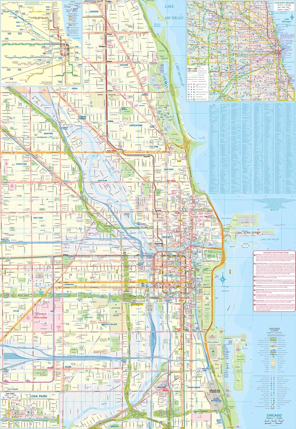
The USA continues to be a country of great interest to travelers. Chicago is the third largest city in the USA and home to many attractions and museums. This map covers the bulk of the city proper, stretching from Wrigley Ville (yes, the site of baseball's Wrigley Field) south to Chinatown and the junctions of Interstates 90 and 55. The core is well-presented, with particular attention being paid to pathways in parks, locators for the start of Route 66, and showing all transit lines by colour. In addition, there are two inset maps (one on the back cover) showing the transit system , another of the overall urban area, and a small one for historic Oak Park.
Reviews
Geen reviews gevonden voor dit product.
Schrijf een review
Graag horen wij wat u van dit artikel vindt. Vindt u het goed, leuk, mooi, slecht, lelijk, onbruikbaar of erg handig: schrijf gerust alles op! Het is niet alleen leuk om te doen maar u informeert andere klanten er ook nog mee!
Ook interessant voor noord-amerika/verenigde-staten-van-amerika/middenwesten-east-north-central-grote-meren/illinois
-

Reisgids Eyewitness Top 10 Chicago |
€ 13,50Reisgidsen ■ Chicago -

Stadsplattegrond City map Chicago |
€ 10,95Stadsplattegronden ■ Chicago -

Reisgids The 500 Hidden Secrets of C
€ 23,95Reisgidsen ■ Chicago -

Stadsplattegrond Popout Map Chicago
€ 7,95Stadsplattegronden ■ Chicago -

Reisgids 111 places in Places in Chi
€ 19,50Reisgidsen ■ Chicago