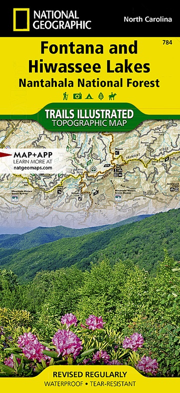
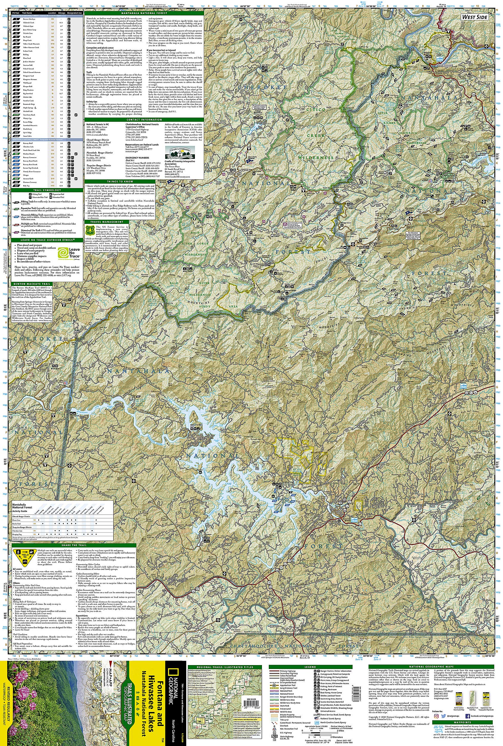
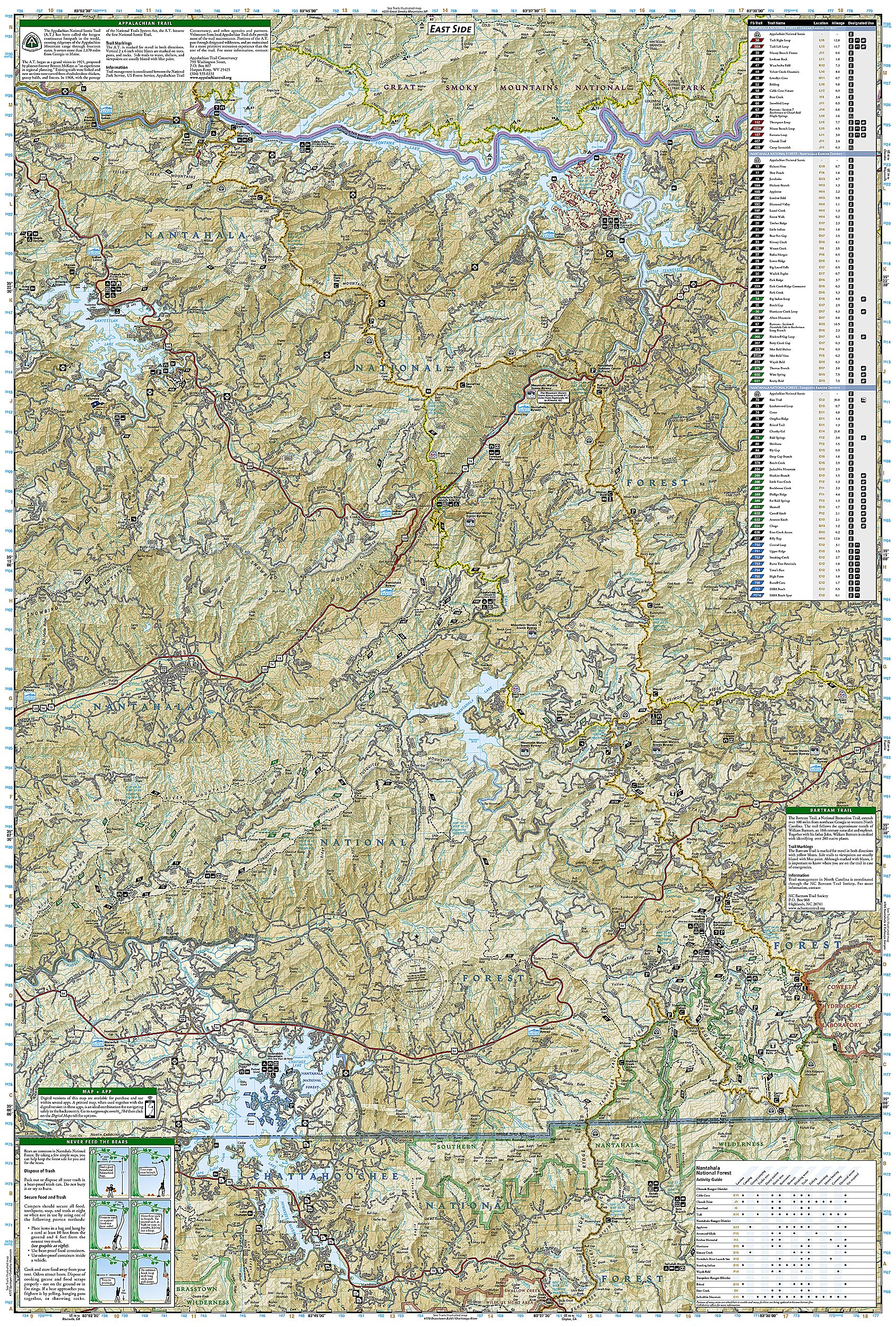
Wandelkaart 784 Fontana and Hiwassee Lakes | National Geographic (9781566953337)
Nantahala National Forest
- ISBN / CODE: 9781566953337
- Schaal: 1:70000
- Uitgever: National Geographic
- Soort: Wandelkaart
- Taal: Engels
- Uitvoering: Scheur- en watervast
- Bindwijze: -
- Schrijf als eerste een review
-
€ 17,95
Dit artikel is (tijdelijk) niet leverbaar

Beschrijving
Prachtige geplastificeerde kaart van het bekende nationaal park. Met alle recreatieve voorzieningen als campsites, maar ook met topografische details en wandelroutes ed. Door uitgekiend kleurgebruik zeer prettig in gebruik. Scheur en watervast!
Reviews
Geen reviews gevonden voor dit product.
Schrijf een review
Graag horen wij wat u van dit artikel vindt. Vindt u het goed, leuk, mooi, slecht, lelijk, onbruikbaar of erg handig: schrijf gerust alles op! Het is niet alleen leuk om te doen maar u informeert andere klanten er ook nog mee!
Ook interessant voor noord-amerika/verenigde-staten-van-amerika/atlantic-coast
-

Wandelgids 1509 Topographic Map Guid
€ 16,95Wandelgidsen Oostkust USA - Atlantic Coast -

Natuurgids Southern Appalachian Wild
€ 9,95Natuurgidsen Zuid USA - Deep South -

Wegenkaart - landkaart Guide Map Sou
€ 12,95Wegenkaarten Zuid USA - Deep South -

Reisgids Asheville and Great Smoky M
€ 20,95Reisgidsen Nationale Parken Verenigde Staten van Amerika -

Wandelkaart - Topografische kaart 77
€ 17,95Topografische kaarten Nationale Parken Verenigde Staten van Amerika