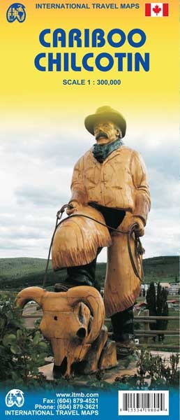
Wegenkaart - landkaart Cariboo Chilcotin (Canada - BC) | ITMB (9781553419808)
- ISBN / CODE: 9781553419808
- Editie: 25-09-2008
- Druk: 1
- Aantal blz.: 1
- Schaal: 1:300000
- Uitgever: ITMB
- Soort: Wegenkaart
- Taal: Engels
- Hoogte: 25.0 cm
- Breedte: 10.0 cm
- Gewicht: 51.0 g
- Uitvoering: Papier
- Schrijf als eerste een review
-
€ 13,95
Uitverkocht, nooit meer leverbaar
Beschrijving
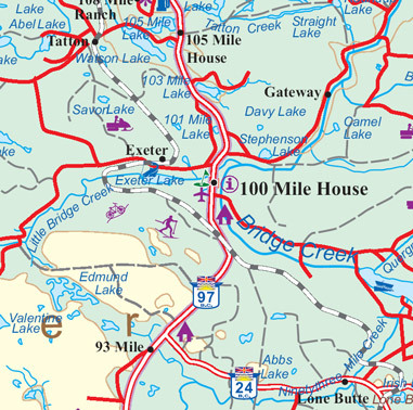
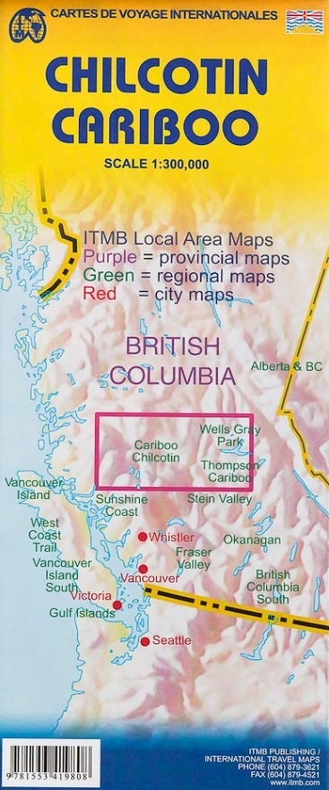
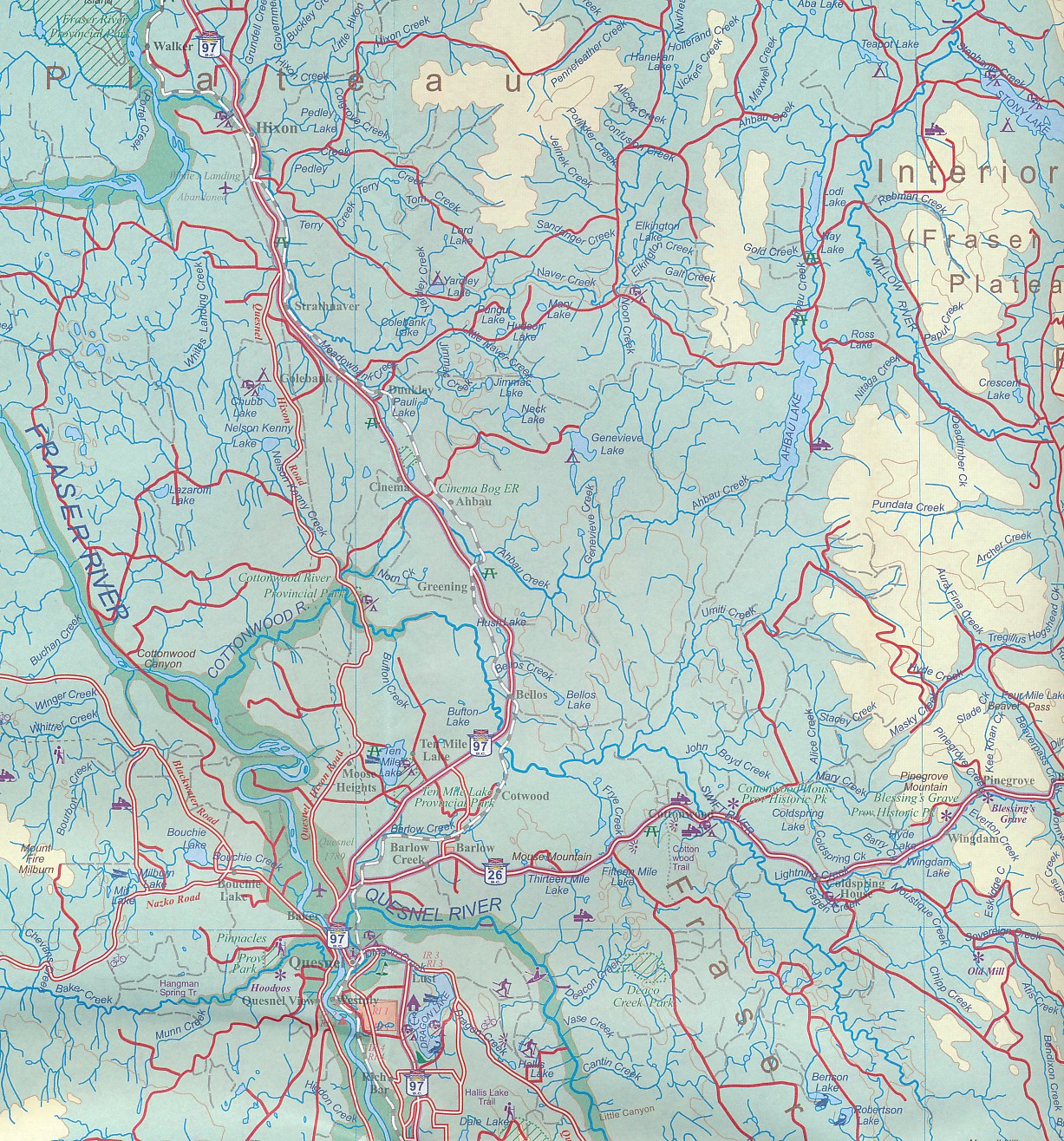
ITMB is pleased to release the most recent recreational travel map for British Columbia, part of our goal of mapping this province comprehensively. The Cariboo district is immediately west of the Wells Gray region (released earlier this year), and the Chilkotin is west of the Cariboo. When combined with the yet-to be-released Tweedsmuir Park region (one week), we will have comprehensive mapping for central BC. This map covers the popular resort lakes of Bonaparte and Canim, follows the Fraser River north to Quesnel, and maps for the first time the wilderness western reaches of the province – Chilco Lake, the Itcha Range, and the Blackwater River. All known hiking trails, forestry campsites, parks, fishing areas, resorts, and canoeing areas are included on the map; printed double-sided on paper;
Legend Includes:
Roads by classification, Indian reserves, rivers, lakes, beaches, hot springs, gas stations, wildlife viewing, mines, glaciers, dams, falls, points of interests, camping and recreational sites, wilderness camps, picnic areas, fishing areas, parking, canoeing, hiking, tourist information and more.
Reviews
Geen reviews gevonden voor dit product.
Schrijf een review
Graag horen wij wat u van dit artikel vindt. Vindt u het goed, leuk, mooi, slecht, lelijk, onbruikbaar of erg handig: schrijf gerust alles op! Het is niet alleen leuk om te doen maar u informeert andere klanten er ook nog mee!
Ook interessant voor noord-amerika/canada/british-columbia
-

Natuurgids - Vogelgids British Colum
€ 10,95Natuurgidsen British Columbia -

Reisgids Lannoo's Autoboek West-Cana
€ 29,99Reisgidsen Alberta -

Wegenkaart - landkaart Vancouver's N
€ 14,95Wegenkaarten British Columbia -

Wandelkaart 02 Columbia Icefield | G
€ 14,95Wandelkaarten British Columbia -

Wandelgids Kanadische Rocky Mountain
€ 22,50Wandelgidsen Alberta