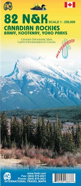
Topografische kaart 82 N&K Canadian Rockies Banff, Kootenay, Yoho Parks | ITMB (9781553418887)
- ISBN / CODE: 9781553418887
- Editie: 14-08-2008
- Druk: 1
- Aantal blz.: 1
- Schaal: 1:250000
- Uitgever: ITMB
- Soort: Topografische kaart
- Taal: Engels
- Hoogte: 25.0 cm
- Breedte: 10.0 cm
- Gewicht: 83.0 g
- Uitvoering: Scheur- en watervast
- Bindwijze: -
- Schrijf als eerste een review
-
€ 13,95
Uitverkocht, nooit meer leverbaar

Beschrijving
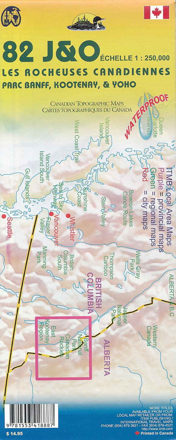
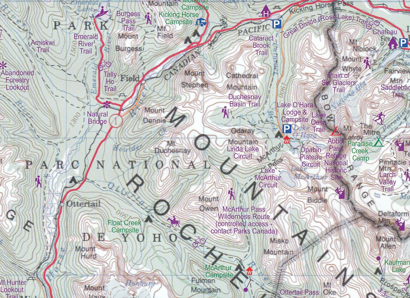
1:250,000 scale, 1st Edition, 2008 – This is a fabulous map. The artwork consists of four complete Govt. of Canada Topographic maps (82J, K, N, and O) overprinted with hundreds of touristic attractions – camping sites, hiking trails, canoeing areas, wilderness lodges, youth hostels, golf courses – you name it, it's there. Coverage is from the 50th parallel, just north of the American border, to Saskatchewan Crossing in Jasper National Park, and from Calgary in the east to Mount Revelstoke in the west. This map is a 'must have' for every map retailer. All the big names are included: Banff, Lake Louise, Maligne Lake, Columbia Icefield, Yoho, Kootenay, Kicking Horse Pass, the CPR spiral tunnels, Radium Hot Springs, Upper Arrow Lake – this is THE definitive map of the one and only Rockies (actually, the Rocky Mountain Range stretches from the Yukon down to New Mexico, but this is hype, so let's forget reality for the moment). Printed double-sided on ITM plastic paper.
Reviews
Geen reviews gevonden voor dit product.
Schrijf een review
Graag horen wij wat u van dit artikel vindt. Vindt u het goed, leuk, mooi, slecht, lelijk, onbruikbaar of erg handig: schrijf gerust alles op! Het is niet alleen leuk om te doen maar u informeert andere klanten er ook nog mee!
Ook interessant voor noord-amerika/canada/alberta
-

Wandelgids Canadian Rockies Trail Gu
€ 29,95Wandelgidsen Alberta -

Natuurgids British Columbia Wildlife
€ 10,95Natuurgidsen British Columbia -

Reisgids Lannoo's Autoboek West-Cana
€ 29,99Reisgidsen Alberta -

Wegenkaart - landkaart Banff / Jaspe
€ 14,95Wegenkaarten Canadian Rockies & Banff -

Wandelkaart - Topografische kaart 25
€ 17,95Topografische kaarten British Columbia