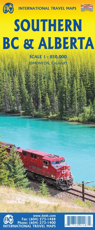
Wegenkaart - landkaart British Columbia Zuid / Alberta | ITMB (9781771291187)
- ISBN / CODE: 9781771291187
- Editie: 01-04-2026
- Druk: 3
- Aantal blz.: 1
- Schaal: 1:850000
- Uitgever: ITMB
- Soort: Wegenkaart
- Taal: Engels
- Hoogte: 25.0 cm
- Breedte: 10.0 cm
- Gewicht: 53.0 g
- Uitvoering: Papier
- Bindwijze: -
- Schrijf als eerste een review
-
€ 15,95
Op voorraad. Voor 17.00 uur op werkdagen besteld, morgen in huis in Nederland Levertijd Belgie
Gratis verzending in Nederland vanaf €50,-
Beschrijving
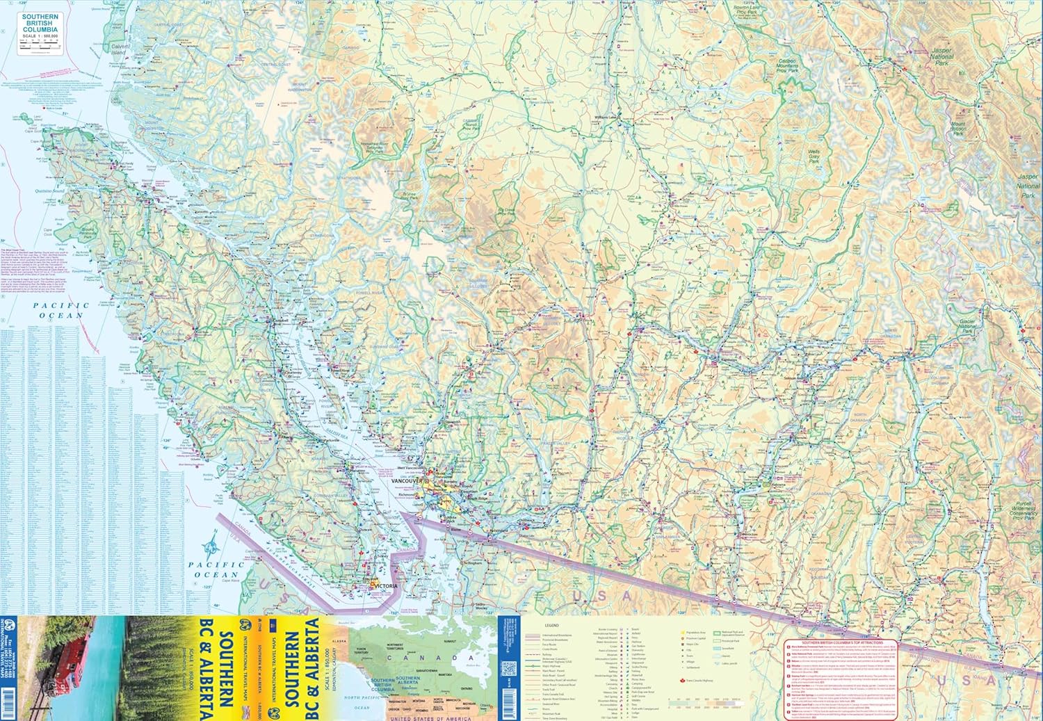
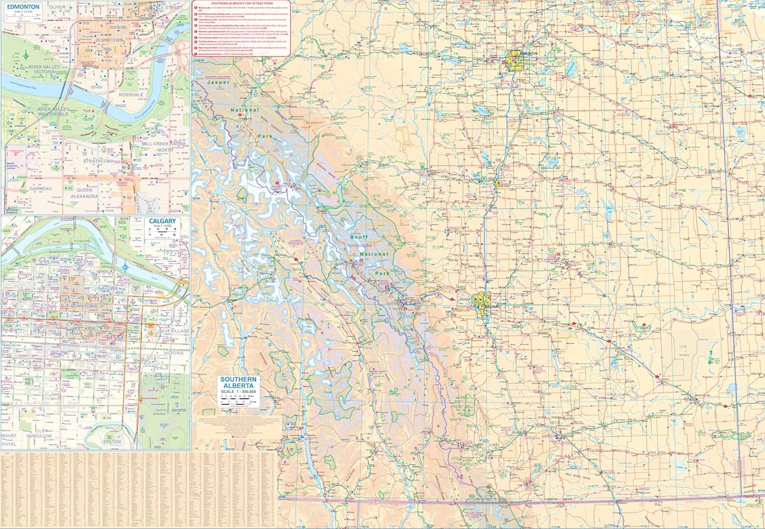
Canada is a huge geographic entity, even once split into provincial entities. Most of the touristic interest in both British Columbia and in Alberta is concentrated in the southern half of both provinces, so we try to make life easier for travellers visiting this part of the world to have a detailed map at a good scale showing the roads and attractions of one of the continent’s most-visited touristic destination. Side 1 concentrates on BC from the American border north to Quesnel and showing all three passes through the Rocky Mountains. Side 2 does the same for Alberta as far north as Edmonton and includes both Banff and Jasper national parks. Detailed inset maps of Calgary and Edmonton are included. This map is ideal for the visitor needing a map of the Rockies that includes all the passes and parks in the region, while also showing the cities and road/rail infrastructure. Naturally, wilderness campsites are included. ITMB also publishes separate maps of each province.
Reviews
Geen reviews gevonden voor dit product.
Schrijf een review
Graag horen wij wat u van dit artikel vindt. Vindt u het goed, leuk, mooi, slecht, lelijk, onbruikbaar of erg handig: schrijf gerust alles op! Het is niet alleen leuk om te doen maar u informeert andere klanten er ook nog mee!
Ook interessant voor noord-amerika/canada/alberta
-

Reisgids ANWB Wereldreisgids Canada
€ 32,99Reisgidsen Alberta -

Vogelgids Sibley Field Guide to Bird
€ 25,95Vogelgidsen Alberta -

Wegenkaart - landkaart 02 Canadian R
€ 13,95Wegenkaarten Alberta -

Wandelkaart - Topografische kaart 21
€ 17,95Topografische kaarten Alberta -

Wandelgids Kanadische Rocky Mountain
€ 22,50Wandelgidsen Alberta