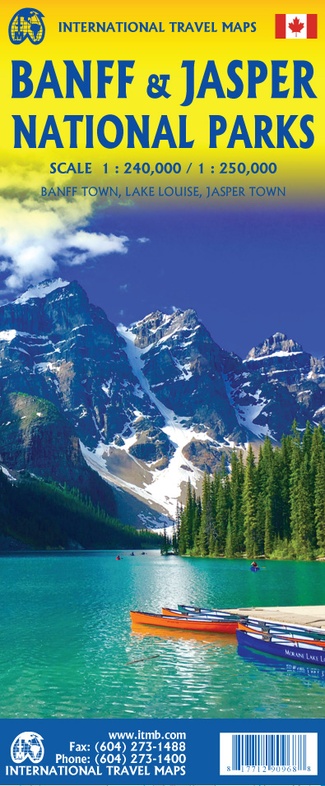
Wegenkaart - landkaart Banff - Jasper national parks | ITMB (9781771290968)
- ISBN / CODE: 9781771290968
- Editie: 01-02-2020
- Druk: 4
- Aantal blz.: 1
- Schaal: 1:240000
- Uitgever: ITMB
- Soort: Wegenkaart
- Taal: Engels
- Hoogte: 25.0 cm
- Breedte: 10.0 cm
- Gewicht: 50.0 g
- Uitvoering: Papier
- Bindwijze: -
- Beoordeling: 3,0 ★★★★★ (1 review) Schrijf een review
-
€ 13,95
Uitverkocht, nooit meer leverbaar


Beschrijving
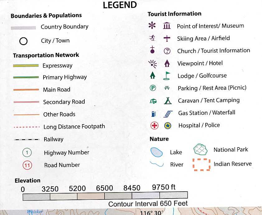
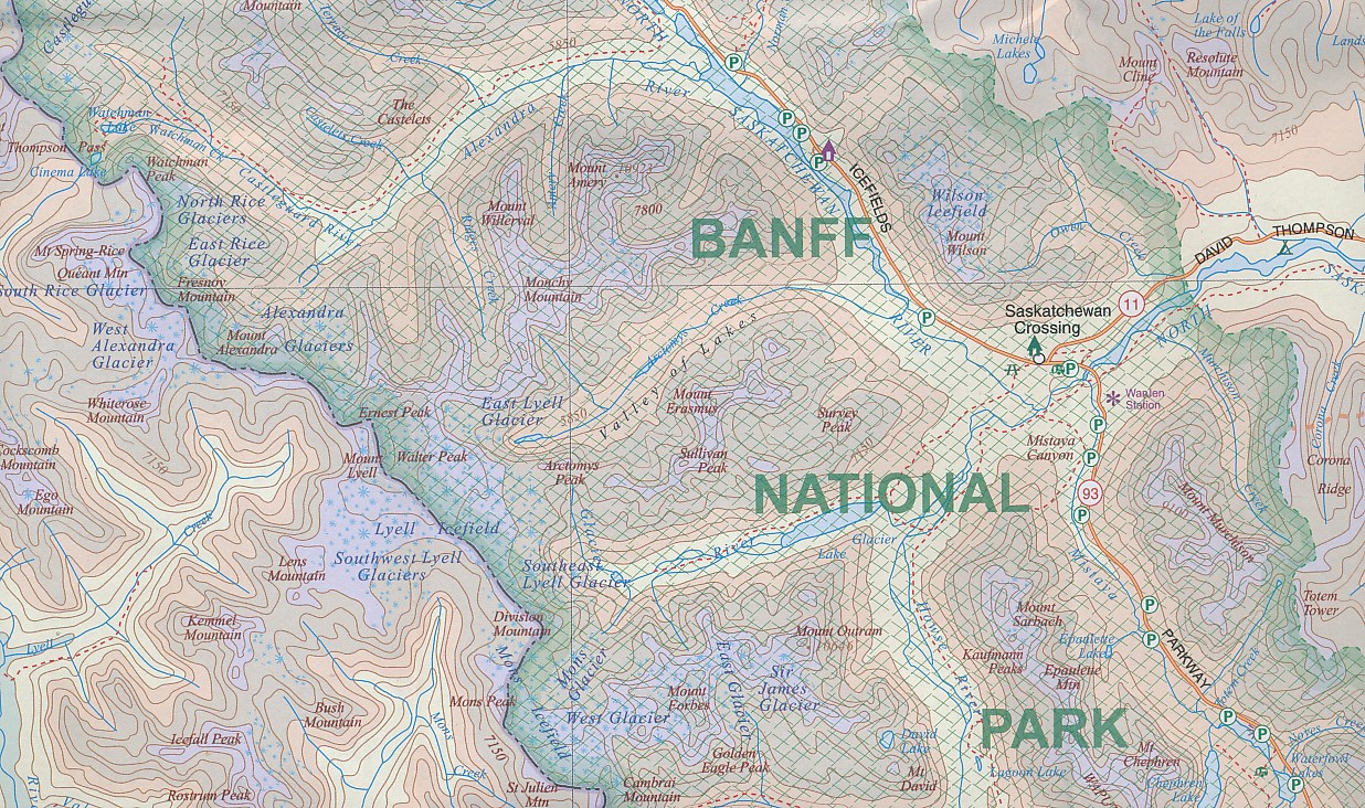
Gedetailleerde wegenkaart van deze 2 bekende nationale parken in Canada. Naast toerischtische informatie zjn de belangrijkste wandelpaden schetsmatig ingetekend en worden de campings weergegeven, hogtelijnen geven een goed beeld van de hoogteverschillen en bergern in het gebied.. Jasper staat op de ene kant en Banff op de andere zijde.
Reviews
Dienstverlening van de Zwerver is prima in orde. Kaart zelf had ik al op diverse andere (Noord-Amerikaanse) sites bekeken maar vond het wel prettig om voor bijna dezelfde prijs/kosten de kaart hier te bestellen. Detailniveau van de kaart is OK voor de doorreis door de parken. Gebruikt als aanvulling op een kaart van West-Canada. Verder de reis met Google Streetview doorgereisd op zoek naar stops onderweg.
★★★★★ door iemke 12 juni 2017Vond u dit een nuttige review? (login om te beoordelen)
Schrijf een review
Graag horen wij wat u van dit artikel vindt. Vindt u het goed, leuk, mooi, slecht, lelijk, onbruikbaar of erg handig: schrijf gerust alles op! Het is niet alleen leuk om te doen maar u informeert andere klanten er ook nog mee!
Ook interessant voor noord-amerika/canada/alberta
-

Wandelgids Canadian Rockies Trail Gu
€ 29,95Wandelgidsen Alberta -

Campergids Mit dem Wohnmobil Westkan
€ 25,50Campergidsen Alberta -
 | ITMB")
Wegenkaart - landkaart Gulf Islands
€ 14,95Wegenkaarten British Columbia -

Reisgids Best Road Trips Pacific Nor
€ 23,95Reisgidsen British Columbia -

Wandelkaart 04 Lake Louise & Yoho |
€ 18,95Wandelkaarten Canadian Rockies & Banff