Winkelwagen
Geen items in winkelwagen
Ga naar winkelwagen
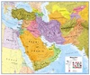
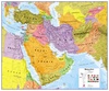
Wandkaart Middle East - Midden Oosten, 120 x 100 cm | Maps International (9781910378182)
Geplastificeerd met metalen strips
- ISBN / CODE: 9781910378182
- Editie: 26-07-2019
- Aantal blz.: 1
- Schaal: 1:4350000
- Uitgever: Maps International
- Soort: Wandkaart van continenten
- Taal: Engels
- Hoogte: 99.0 cm
- Breedte: 119.0 cm
- Gewicht: 522.0 g
- Uitvoering: Papier
- Ophangwijze: Metalen strips
- Schrijf als eerste een review
-
€ 44,95
Uitverkocht, nooit meer leverbaar


Beschrijving
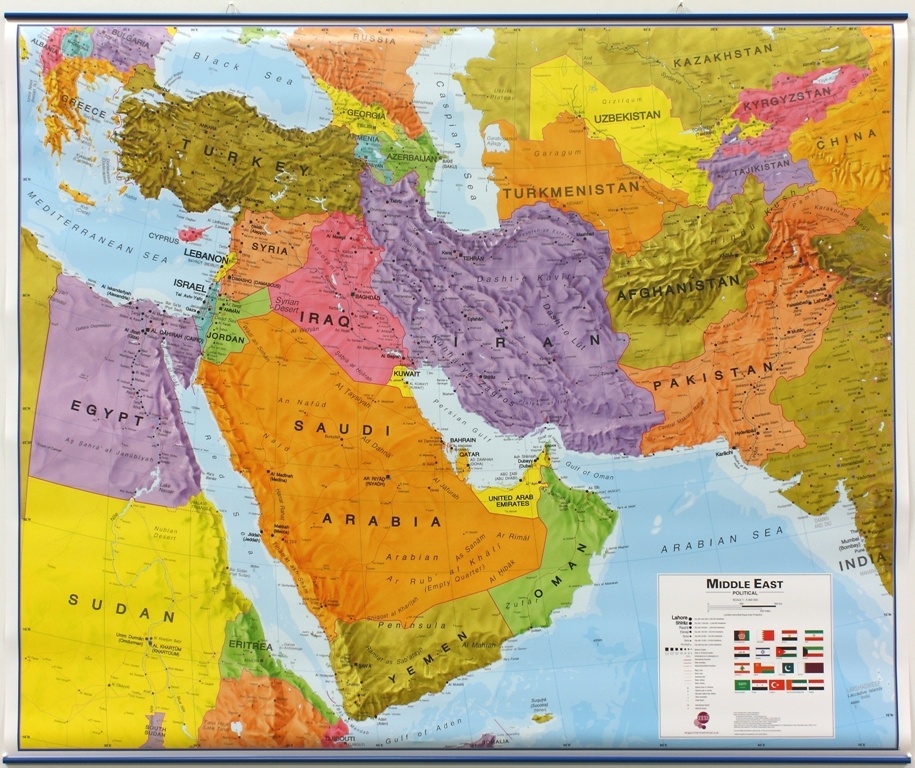
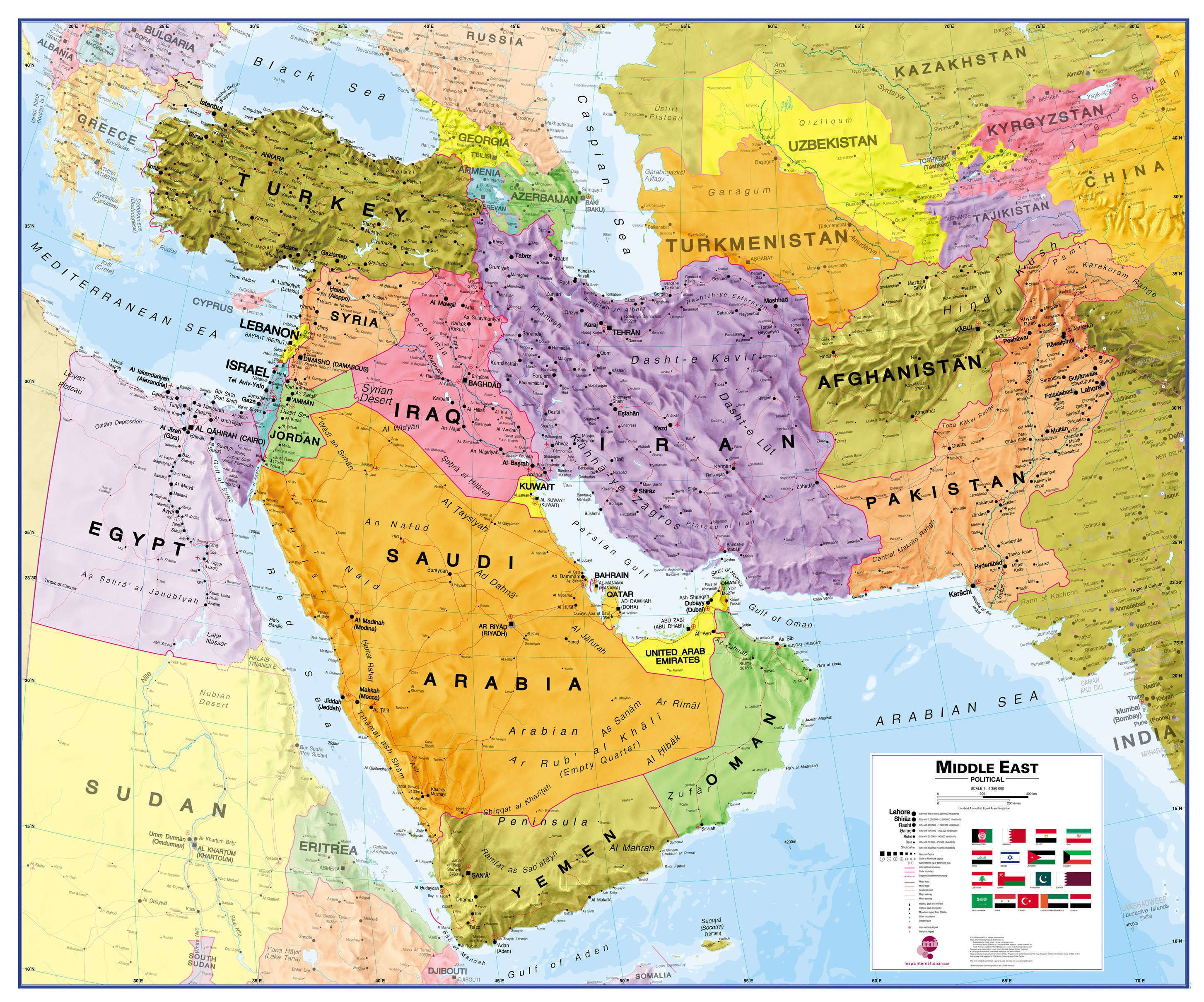
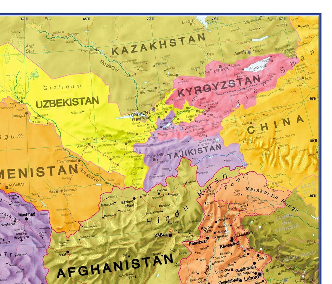
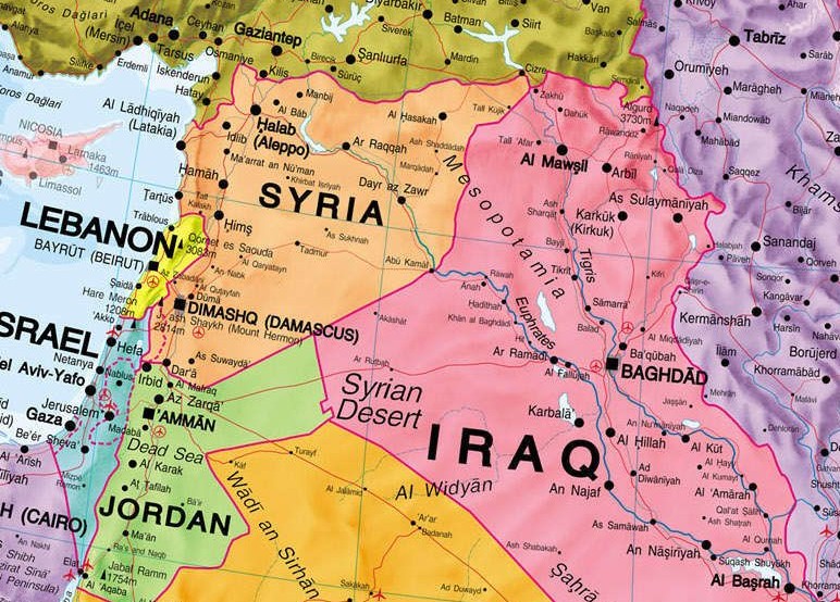
Maps International's Middle East wall map shows the whole of the Middle East area.
Middle East Map Details: This political wall map of the Middle East features countries marked in different colours, with international borders clearly shown. The map's key shows a panel of flags from each of the countries displayed in this Middle East map. This political wall map of Africa also contains population detail, capital cities and all the major towns and cities in this continent.
Middle East Map uses: As with most of our maps, the Middle East political wall map, is available in a range of finishes from paper and laminated finishes to wooden style frames. Ideal size for an office or classroom.
Dit product heeft meerdere varianten:
Reviews
Geen reviews gevonden voor dit product.
Schrijf een review
Graag horen wij wat u van dit artikel vindt. Vindt u het goed, leuk, mooi, slecht, lelijk, onbruikbaar of erg handig: schrijf gerust alles op! Het is niet alleen leuk om te doen maar u informeert andere klanten er ook nog mee!
Alle gerelateerde rubrieken >
Ook interessant voor midden-oosten
-

Reisgids Socotra | Bradt Travel Guid
€ 27,95Reisgidsen Jemen -

Reisverhaal Cappuccino in het Midden
€ 21,49Reisverhalen Dubai -

Wandkaart 20079 Midden-Oosten - Midd
€ 23,95Wandkaarten van continenten Midden-Oosten -

Wegenkaart - landkaart Middle East P
€ 17,95Wegenkaarten Midden-Oosten -

Vogelgids Birds of the Middle East -
€ 41,50Vogelgidsen Cyprus