
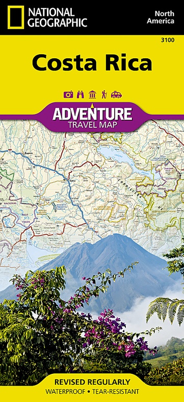
Wegenkaart - landkaart 3100 Adventure Map Costa Rica | National Geographic (9781566953146)
- ISBN / CODE: 9781566953146
- Editie: 01-12-2022
- Aantal blz.: 1
- Schaal: 1:350000
- Uitgever: National Geographic
- Soort: Wegenkaart
- Serie: Adventure Map
- Taal: Engels
- Hoogte: 24.0 cm
- Breedte: 11.0 cm
- Gewicht: 92.0 g
- Uitvoering: Scheur- en watervast
- Bindwijze: -
- Beoordeling: 4,2 ★★★★★ (4 reviews) Schrijf een review
-
€ 18,50
Op voorraad
Op werkdagen vóór 17:00 besteld = dezelfde dag verzonden
Bezorging meestal binnen 1–2 werkdagen. Levertijd BelgieGratis verzending in Nederland vanaf €50,-
Beschrijving
Zeer gedetailleerde kaart van Costa Rica met stadsplattegrond van de hoofdstad van Costa Rica. Misschien wel de beste kaart! Gedrukt op scheur- en watervast papier.
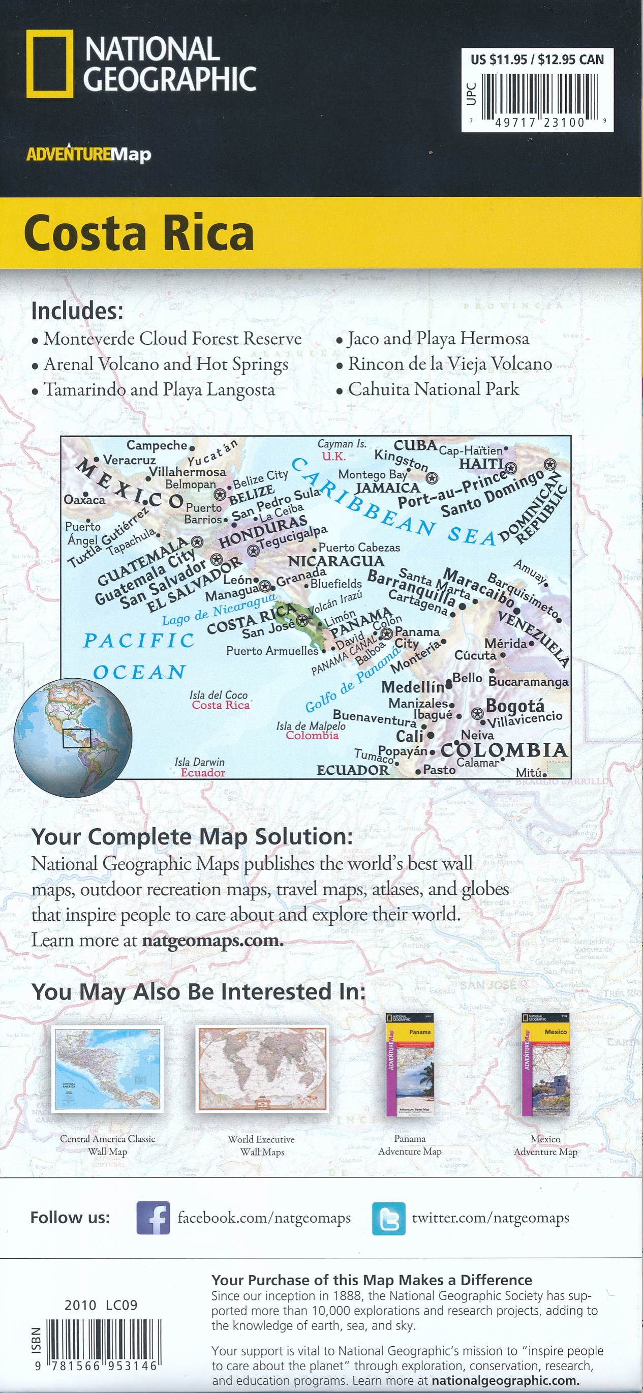
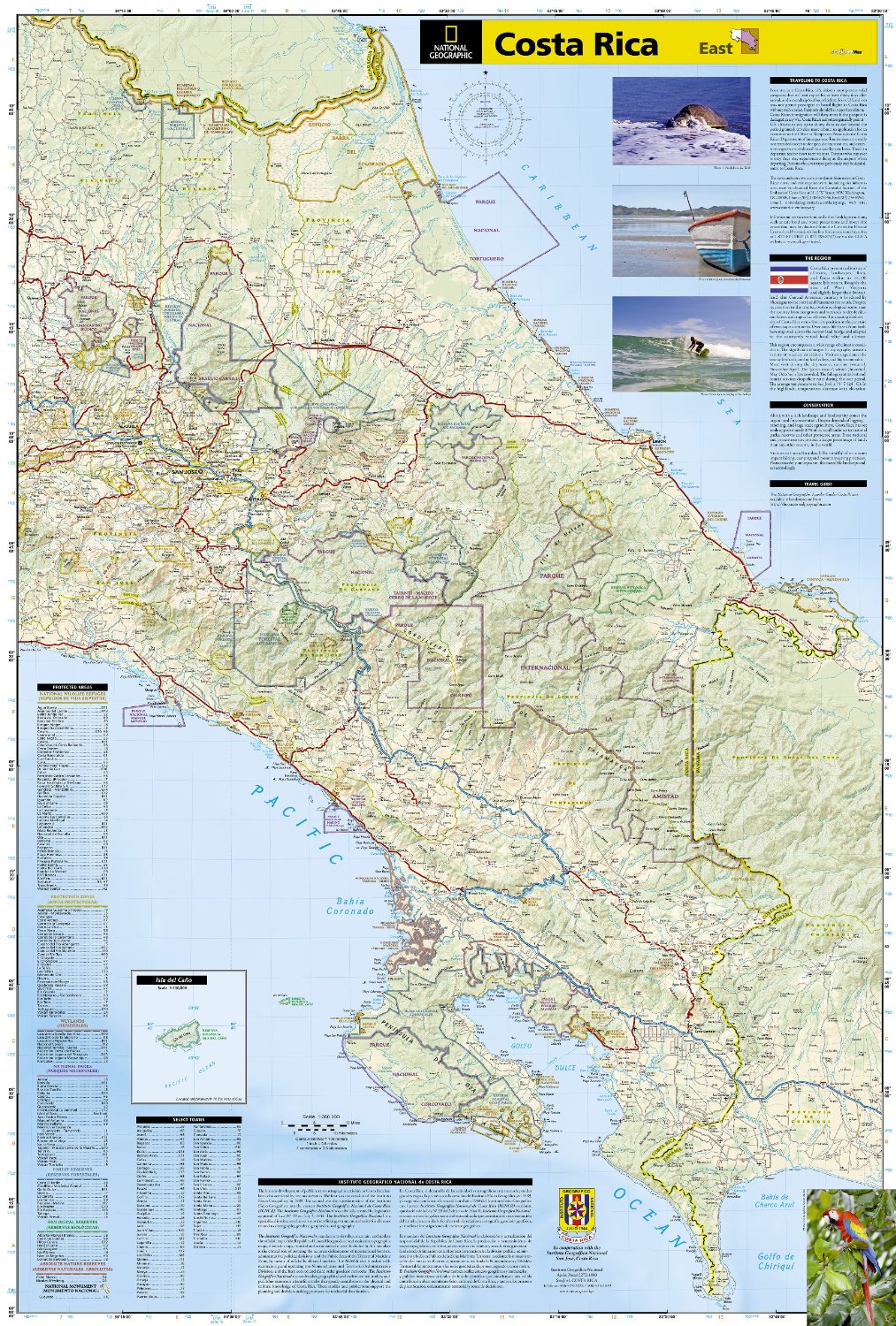
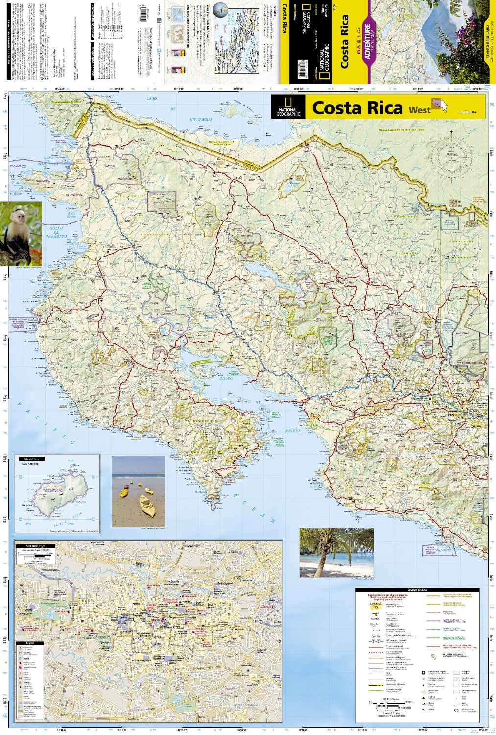
Double-sided, waterproof, tear-resistant and with a street plan of central San José, the NGS Costa Rica Adventure Map was produced in cooperation with the Instituto Geográfico Nacional, Costa Rica’s national survey organization.
The country is divided east/west, with a generous overlap between the two sides. Topography is shown by contours at 100m intervals, enhanced by relief shading and spot heights. Along the coast reefs, rocks and shallow water areas are marked. The map indicates various types of vegetation: forests, palm forest, mangrove, and fresh or salt water swamps. Road network includes gravel tracks and indicates roads passable only in summer. Railways and local airstrips are marked, as well as the country’s internal administrative boundaries together with names of the provinces.
The map highlights seven different types of protected areas: national wildlife refuges, protection zones, wetlands, national parks, forest reserves, biological reserves, and absolute nature reserves, plus national monuments, all listed in a special index. A UTM grid is printed on the map, plus latitude and longitude margin ticks at 10' intervals.
The map includes a street plan of central San José, naming principal streets and districts, and highlighting various places of interest to visitors. Also included are enlargements for Isla del Coco, Isla del Caño, an overview map of Central America, and an index of selected towns.
Reviews
Ik heb elk hoekje gebruikt en op allerlei manieren gevouwen. De kaart heeft hieronder niet geleden. Gedetailleerd genoeg om onze hele reis ook analoog te kunnen volgen/plannen.
★★★★★ door Carin 9 juli 2026 | Heeft dit artikel gekochtVond u dit een nuttige review? (login om te beoordelen)
Zeer praktische kaart met alle nodige gegevens voor een prachtige vakantie. Zeker de moeite waard om te hebben bij het opmaken van het reis schema.
★★★★★ door willy willems 14 augustus 2023 | Heeft dit artikel gekochtVond u dit een nuttige review? (login om te beoordelen)
Goed bruikbare kaart. De belangrijkste wegen staan er op. De kaart van San Jose is een waardevolle aanvulling!
★★★★★ door David Uit de Weerd 31 januari 2013Vond u dit een nuttige review? (login om te beoordelen)
Schrijf een review
Graag horen wij wat u van dit artikel vindt. Vindt u het goed, leuk, mooi, slecht, lelijk, onbruikbaar of erg handig: schrijf gerust alles op! Het is niet alleen leuk om te doen maar u informeert andere klanten er ook nog mee!
Ook interessant voor midden-amerika/costa-rica
-
Vogelgids - Natuurgids Costa Rica Bi
€ 10,95Natuurgidsen Costa Rica -
Reisgids - Reisverhaal Costa Rica re
€ 16,95Reisgidsen Costa Rica -
Wegenkaart - landkaart Costa Rica |
€ 11,95Wegenkaarten Costa Rica -

Reishandboek The Blue Zones of Happi
€ 18,50Reishandboeken ♦ Samos -

Wandkaart Costa Rica, 97 x 92 cm | N
€ 39,95Wandkaarten van landen Costa Rica



