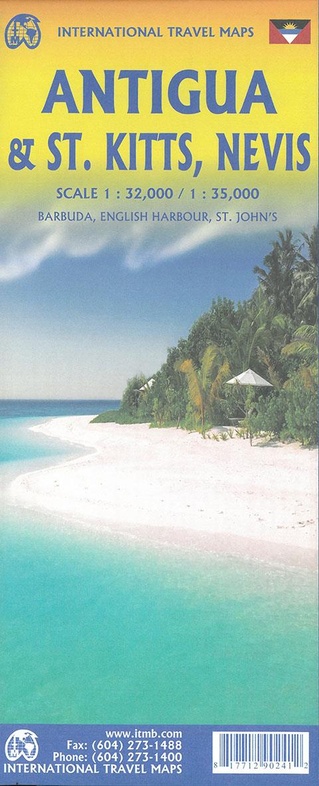
Wegenkaart - landkaart St. Kitts - Nevis - Antigua | ITMB (9781771290241)
Barbuda - English Harbour - St. John's
- ISBN / CODE: 9781771290241
- Editie: 01-09-2022
- Druk: 1
- Aantal blz.: 1
- Schaal: 1:32000
- Uitgever: ITMB
- Soort: Wegenkaart
- Taal: Engels
- Hoogte: 25.0 cm
- Breedte: 10.0 cm
- Gewicht: 51.0 g
- Bindwijze: -
- Druk: 1
- Uitvoering: Papier
- Schrijf als eerste een review
-
€ 14,95
Leverbaar in 3 - 5 werkdagen in huis in Nederland Levertijd Belgie
Gratis verzending in Nederland vanaf €50,-
Beschrijving
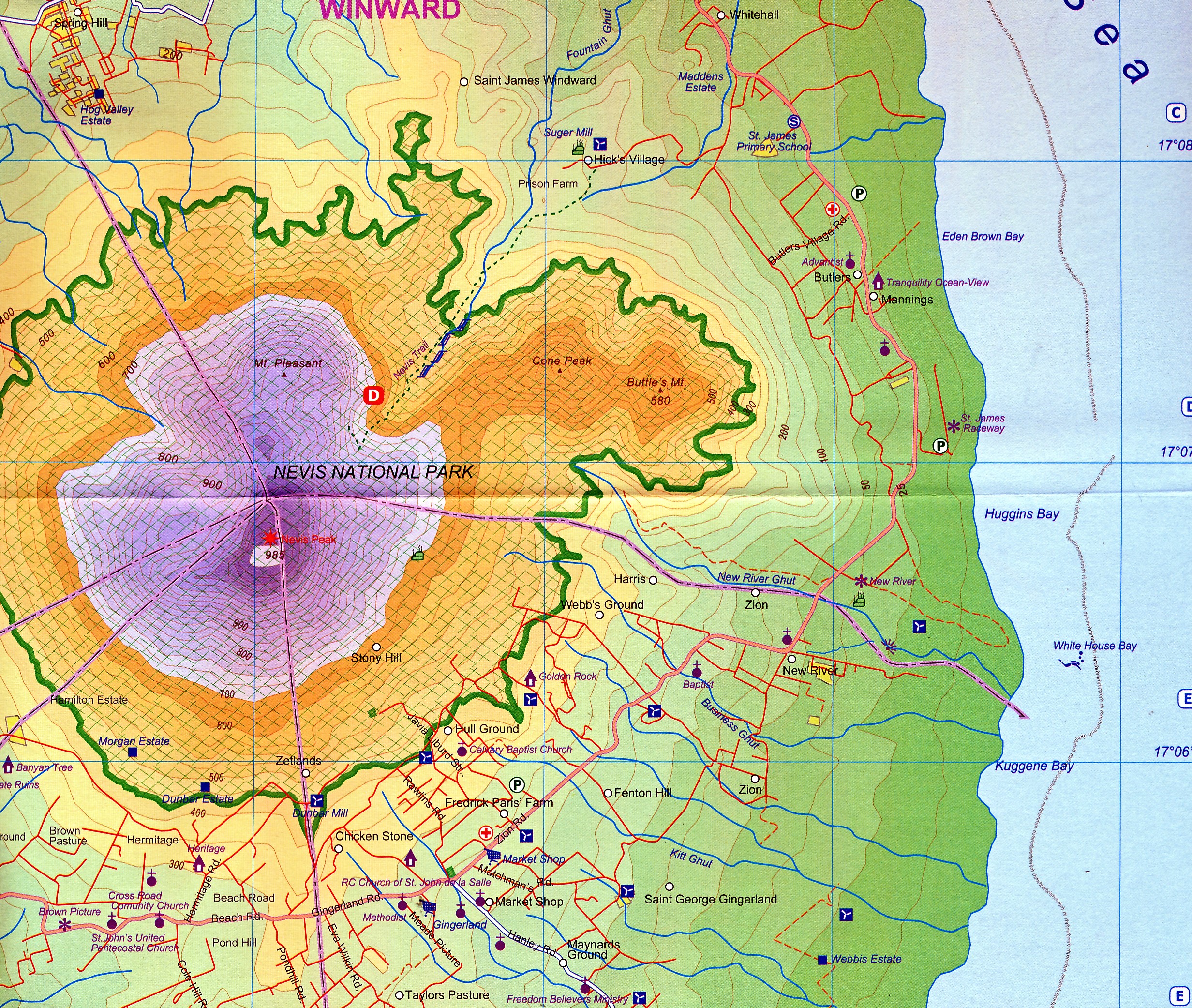
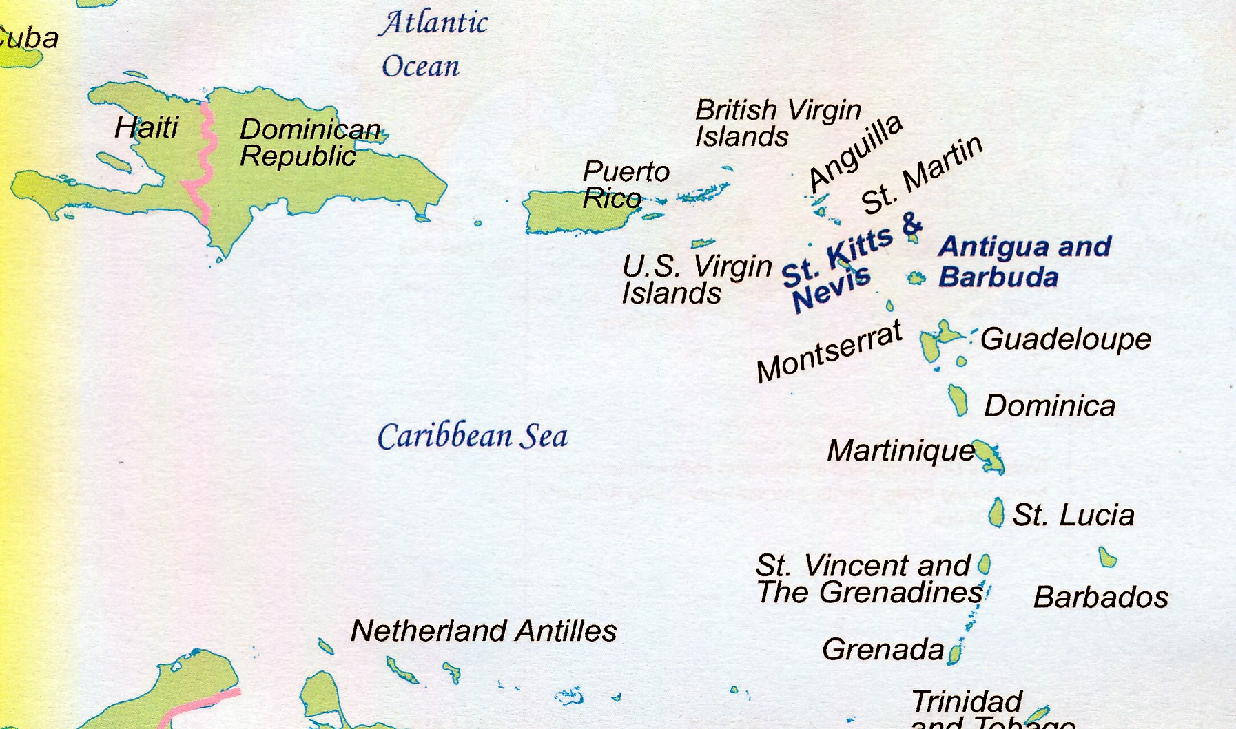
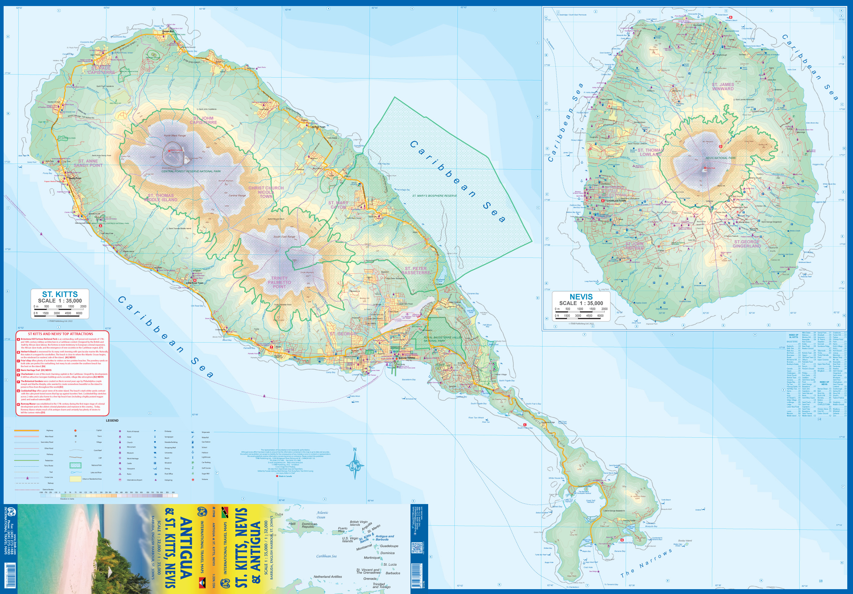
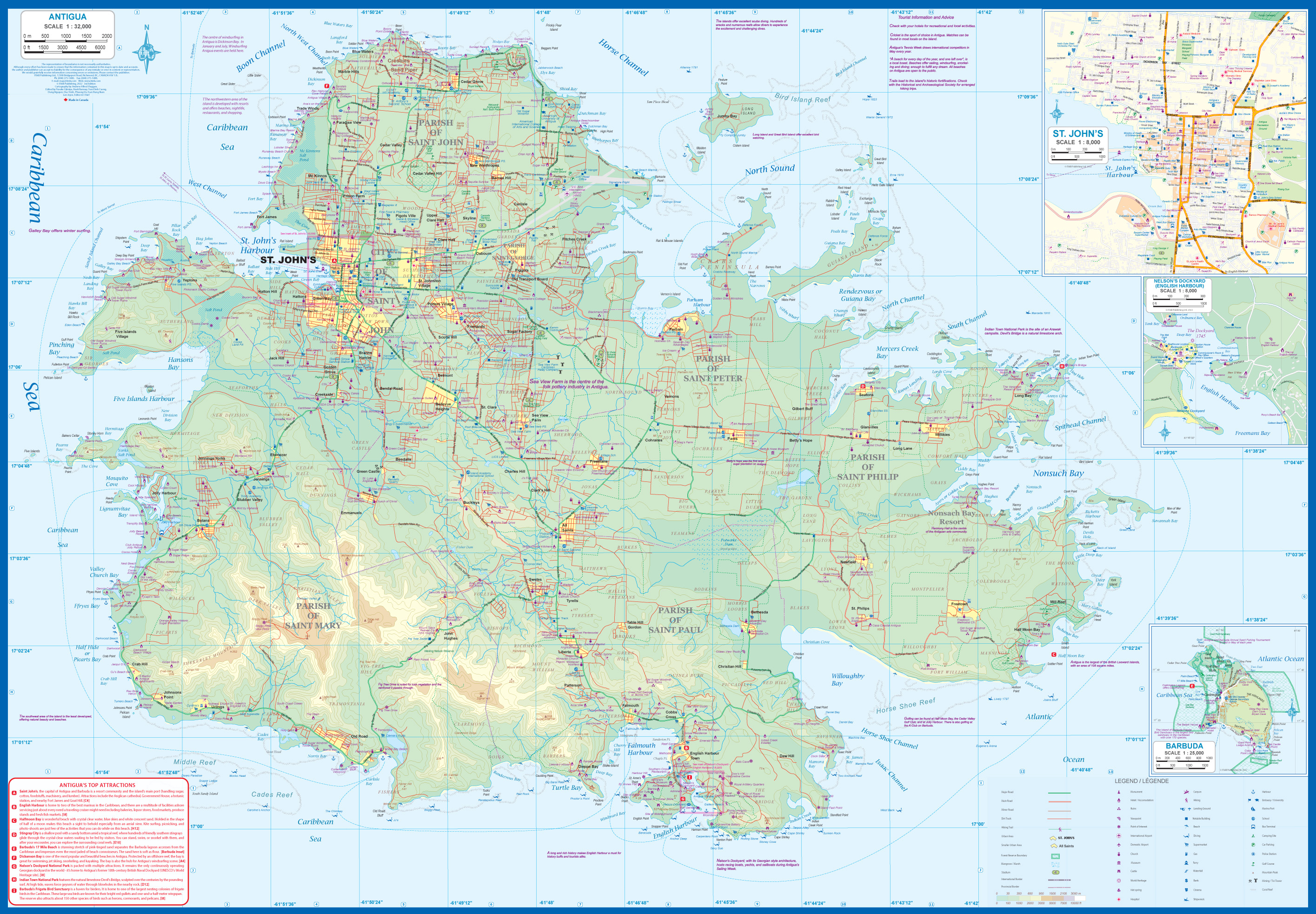
Gedetailleerde kaart van de eilanden St. Kitts - Nevis - Antigua met ook Barbuda - English Harbour - St. John's. Naast de wegenkaart ligt er ook veel nadruk op de hoogteverschillen op de eilanden.
Reviews
Geen reviews gevonden voor dit product.
Schrijf een review
Graag horen wij wat u van dit artikel vindt. Vindt u het goed, leuk, mooi, slecht, lelijk, onbruikbaar of erg handig: schrijf gerust alles op! Het is niet alleen leuk om te doen maar u informeert andere klanten er ook nog mee!
Ook interessant voor midden-amerika/antigua
-

Natuurgids Wildlife of the Eastern C
€ 34,95Natuurgidsen Saba -

Wegenkaart - landkaart Antigua / Bar
€ 19,95Wegenkaarten Antigua -

Reisgids Caribbean Islands | Lonely
€ 23,95Reisgidsen Antigua -

Vogelgids Birds of the West Indies |
€ 55,00Vogelgidsen Antigua -

Reisgids Mini Rough Guide Antigua &
€ 12,95Reisgidsen Antigua