Winkelwagen
Geen items in winkelwagen
Ga naar winkelwagen
Kaarten - ■ Valencia Stad
 Topografische kaart 768-II Caroch | CNIG - Instituto Geográfico Nacional
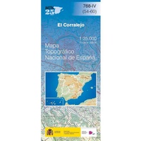 Topografische kaart 768-IV El Corralejo | CNIG - Instituto Geográfico Nacional
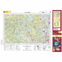 Topografische kaart 769 MT50 Navarrés | CNIG - Instituto Geográfico Nacional1
 Topografische kaart 770-I Alzira | CNIG - Instituto Geográfico Nacional1
 Topografische kaart 770/771 MT50 Alzira | CNIG - Instituto Geográfico Nacional1
 Wegenkaart - landkaart Mapa Provincial Alicante | CNIG - Instituto Geográfico Nacional★★★★★
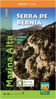 Wandelkaart Marina Alta Serra de Bernia | Editorial Piolet★★★★★★★★★★
 Wandelkaart Marina Baixa - Serra d'Aitana, Costa Blanca mountains west | Editorial Piolet★★★★★
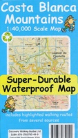 Wandelkaart Tour & Trail Costa Blanca mountains | Discovery Walking Guides
 Wegenkaart - landkaart 577 Comunidad Valenciana - Murcia - Alicante - Benidorm | Michelin★★★★★
 Fietskaart Costa Blanca North | Active Maps Limited
Laatste reviews

Super
Rother wandelgidsen stellen nooit teleur. Mooie routes, goede opgave kilometers, hoogtemeters en horeca. Een aanrader!
★★★★★ door Anita Geel 13 januari 2026 | Heeft dit artikel gekocht
Prachtig boek!
Mooi boek met prachtige foto’s! Voldoet helemaal aan mijn verwachtingen.
★★★★★ door Hans Eldering 13 januari 2026 | Heeft dit artikel gekocht
zeer vlotte levering
het product voldeed aan mijn verwachtingen en was geplastificeerd wat natuurlijk perfect is voor kaart die veel wordt geraadpleegd!
★★★★★ door Peter Lantinga 13 januari 2026 | Heeft dit artikel gekocht
Gedetailleerde wegenkaart
Ik heb de wegenkaart Maleisië aangeschaft om zelf een rondreis per huurauto te kunnen plannen. Deze kaart heeft daar heel goed bij geholpen doordat er …
★★★★★ door M. Rizvi 13 januari 2026 | Heeft dit artikel gekocht