Winkelwagen
Geen items in winkelwagen
Ga naar winkelwagen
Kaarten - Valencia (provincie)
 Topografische kaart 721-IV Monserrat | CNIG - Instituto Geográfico Nacional
 Topografische kaart 722 MT50 Valencia | CNIG - Instituto Geográfico Nacional1
 Topografische kaart 746 MT50 Carlet | CNIG - Instituto Geográfico Nacional1
 Topografische kaart 746-I Dos aguas | CNIG - Instituto Geográfico Nacional
 Topografische kaart 746-II Llombai | CNIG - Instituto Geográfico Nacional
 Topografische kaart 746-III Millares | CNIG - Instituto Geográfico Nacional
 Topografische kaart 746-IV Carlet | CNIG - Instituto Geográfico Nacional
 Topografische kaart 747 MT50 Sueca | CNIG - Instituto Geográfico Nacional1
 Topografische kaart 768 MT50 Ayora | CNIG - Instituto Geográfico Nacional1
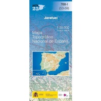 Topografische kaart 768-I Jarafuel | CNIG - Instituto Geográfico Nacional
 Topografische kaart 768-II Caroch | CNIG - Instituto Geográfico Nacional
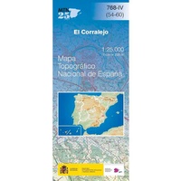 Topografische kaart 768-IV El Corralejo | CNIG - Instituto Geográfico Nacional
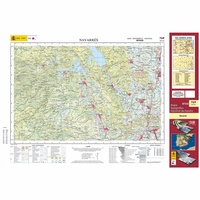 Topografische kaart 769 MT50 Navarrés | CNIG - Instituto Geográfico Nacional1
 Topografische kaart 770-I Alzira | CNIG - Instituto Geográfico Nacional1
 Topografische kaart 770/771 MT50 Alzira | CNIG - Instituto Geográfico Nacional1
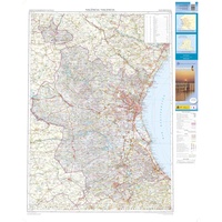 Wegenkaart - landkaart Mapa Provincial Valencia | CNIG - Instituto Geográfico Nacional★★★★★
Laatste reviews

Jacobspad Uithuizen - Hasselt; De ontvanger was er heel blij mee
Mooi om te geven
★★★★★ door Martsjen Wiersma 01 januari 2026 | Heeft dit artikel gekocht
Moeilijk te zien
Voor mij een lastig te gebruiken plattegrond. Moeilijk om hiermee te oriënteren in de omgeving.
★★★★★ door Marco 01 januari 2026 | Heeft dit artikel gekocht
vermoedelijk een nuttig boekje naast Google translate
dit boekje aangeschaft ter ondersteuning bij mogelijke taalproblemen; de waarde ervan zal blijken tijden de reis in juni 2026
★★★★★ door Bert Bosch 31 december 2025 | Heeft dit artikel gekocht
inspiratie voor de te kiezen reisroute
het is nog te vroeg om iets zinnigs over het up-to-date zijn van de wegenkaart te vermelden, daar de reis pas over enige maanden start
★★★★★ door Bert Bosch 31 december 2025 | Heeft dit artikel gekocht