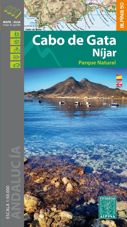
Wandelkaart Cabo de Gata - Nijar | Editorial Alpina (9788480906593)
- ISBN / CODE: 9788480906593
- Editie: 29-07-2016
- Aantal blz.: 1
- Schaal: 1:50000
- Uitgever: Editorial Alpina
- Soort: Wandelkaart
- Taal: Engels
- Hoogte: 21.0 cm
- Breedte: 12.0 cm
- Gewicht: 199.0 g
- Bindwijze: -
- Uitvoering: Papier
- Beoordeling: 5,0 ★★★★★ (5 reviews) Schrijf een review
-
€ 16,95
Uitverkocht, nooit meer leverbaar
Beschrijving
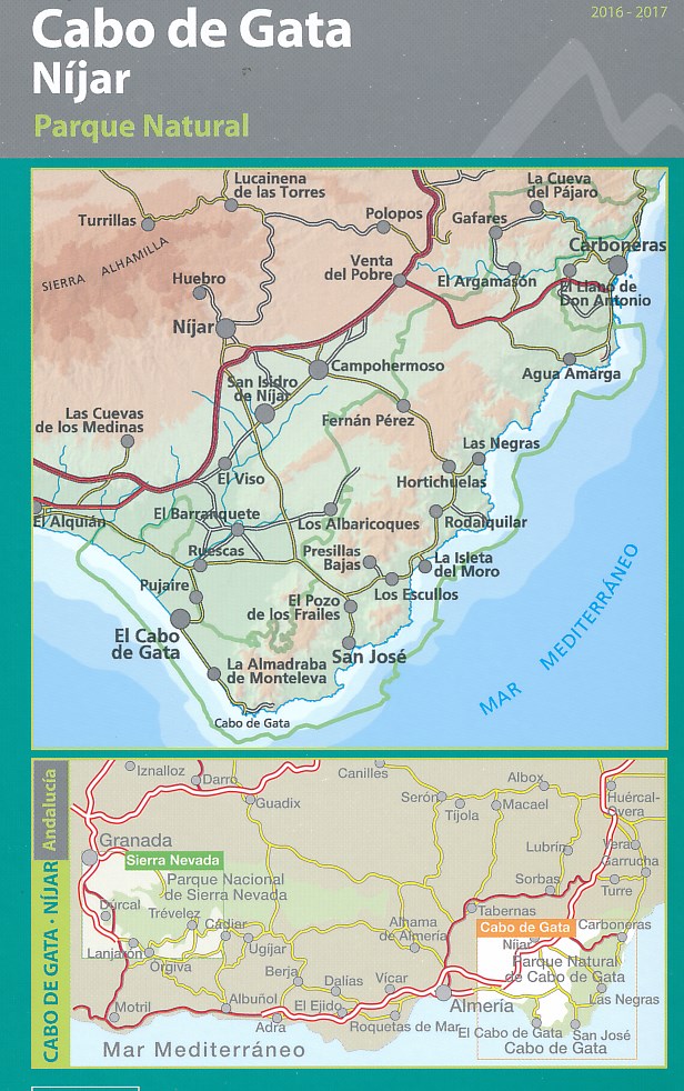
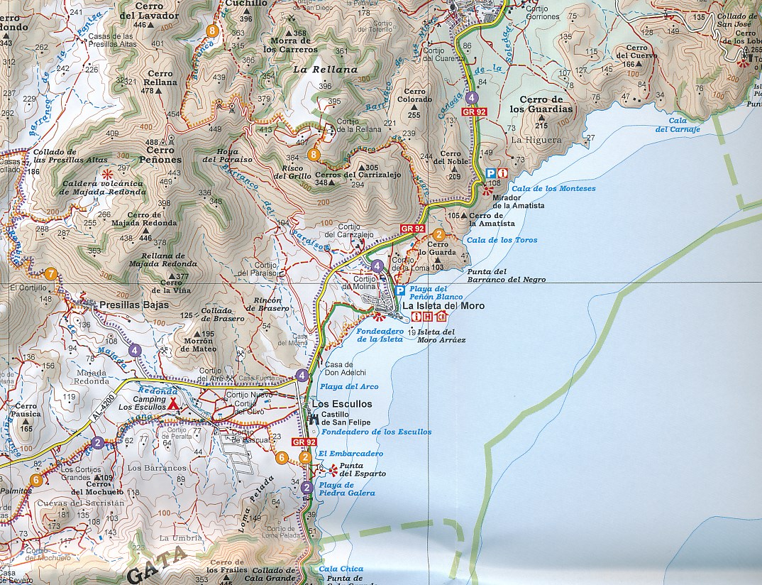
Cabo da Gata-Níjar Natural Park in an extensive and very popular series of walking maps from Editorial Alpina covering the Pyrenees, Catalonia and other selected hiking areas in Spain, including Picos de Europa, Sierra Nevada and parts of Andalucía, Majorca, etc. Scales vary from 1:50,000 to 1:10,000, with the majority of the titles at 1:25,000. The maps have contours, usually at 20m or 10m intervals, with additional hill shading and spot heights. An overprint highlights hiking trails, long-distance footpaths, campsites, mountain huts, refuges, etc. Many maps also show climbing sites, potholing caves, mountain bike routes, equestrian and ski centres.
All the latest editions have a UTM grid, plus margin ticks for latitude and longitude at intervals of 1’. Map legend in most titles includes English.
Each title has a separate booklet with general information on the area, descriptions of selected hiking routes, a list of accommodation with addresses, etc. In several titles the booklet now includes English.
In this title: Contours at 20m intervals, relief shading and altitude colouring. UTM grid and 1’ margin ticks. In addition to footpaths, the overprint shows mountain bike routes, various types of accommodation (hotels, youth hostels, campsites), information centres, places of interest, locations of petrol stations on local roads, etc. Map legend and the booklet with descriptions of several hiking routes include English.
Dorpen en Bergen:
Andorra la Vella, Pas-de-la-Case / el Pas de la Casa, Ordino, Encamp, Meranges, Canillo, Civis, Arduix, Anyos, Sant Julia de Lòria, Soldeu, Monturull, Pic de l'Estanyo, Pic de Comapedrosa, Puigpedros.
Reviews
Goed verzorgde en nauwkeurige kaart die een prima basis opleverde voor het plannen en uitvoeren van diverse dagtochten. Een plus was daarbij de extra info op de kaft met een aantal voorgestelde routes. Een must!
★★★★★ door Wim de Jong 21 april 2024 | Heeft dit artikel gekochtVond u dit een nuttige review? (login om te beoordelen)
Uitstekende kaart om te gebruiken voor wandelingen. Gids is ook een fijn hulpmiddel om keuzes te maken.
★★★★★ door peter VAN DER TOORN 1 maart 2022 | Heeft dit artikel gekochtVond u dit een nuttige review? (login om te beoordelen)
Op het nippertje voor ik vertrok naar Cabo de Gata de kaart besteld. Kaart + informatief boekje de volgende dag in de bus !! Supersnel, en goed verzorgd! Ik ben een zeer tevreden klant. Ron
★★★★★ door ron 4 december 2018 | Heeft dit artikel gekochtVond u dit een nuttige review? (login om te beoordelen)
Schrijf een review
Graag horen wij wat u van dit artikel vindt. Vindt u het goed, leuk, mooi, slecht, lelijk, onbruikbaar of erg handig: schrijf gerust alles op! Het is niet alleen leuk om te doen maar u informeert andere klanten er ook nog mee!
Ook interessant voor europa/spanje/andalusie/almeria-provincie
-

Wandelkaart Parque Natural Sierra de
€ 14,95Wandelkaarten Andalusië - Zuid Spanje -

Wandelgids 291 Via de la Plata | Rot
€ 17,95Wandelgidsen Noordwest Spanje - Galicië - Asturië -

Reisgids Andalucia - Costa del Sol |
€ 9,95Reisgidsen Andalusië - Zuid Spanje -

Topografische kaart 1014-IV Vera | C
€ 7,95Topografische kaarten Almeria (Provincie) -

Wegenkaart - landkaart 124 Costa del
€ 11,95Wegenkaarten Andalusië - Zuid Spanje