Schotse Hooglanden & Speyside
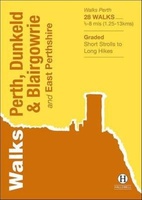 Wandelgids Perth, Dunkeld & Blairgowrie | Hallewell Publications
Walks Perth, Dunkeld & Blairgowrie (previously published as Walks East Perthshire) has been completely rewalked and revised. The guide covers the eastern part of the county of Perthshire, with a …
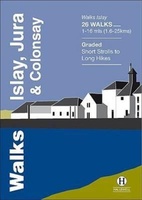 Wandelgids Islay, Jura & Colonsay | Hallewell Publications
Walks Islay, Jura & Colonsay features walks on the three inner Hebridean islands. Each island has it's own distinct character and the 26 walks featured give a good feel for …
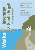 Wandelgids Inveraray & South Argyll : Including Kintyre | Hallewell Publications
Rewalked and updated in 2022, 'Walks Inveraray & South Argyll including Kintyre' covers the stretch of Scotland's west coast from Ardfern in the north to the Mull of Kintyre in …
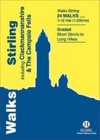 Wandelgids Stirling : Including Clackmannanshire & the Campsie Fells | Hallewell Publications
Rewalked and revised in 2021, Walks Stirling (a new edition of our previous guide to Stirling & District) features 24 walks, and now covers the Campsie Fells as well as …
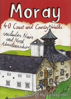 Wandelgids Weekend Walks Moray | Pocket Mountains
The Moray coastline has a string of superb sandy beaches, and towns such as Buckie, Lossiemouth and Nairn (historically part of Morayshire) have long been popular for family holidays. …
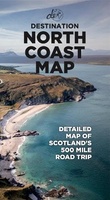 Wegenkaart - landkaart North Coast Road Trip Map | Destination Earth
This North Coast road trip map is the essential tool that will guide you through the breathtaking landscapes, stunning coastal views, and enchanting villages of the North Coast 500 in …
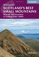 Wandelgids Scotland's Best Small Mountains | Cicerone
A guidebook to 40 of the best small mountains in Scotland under 3000ft. Explore the beautiful scenery of Sutherland and the far north, Torridon, Lochaber, the Great Glen, the Cairngorms, …
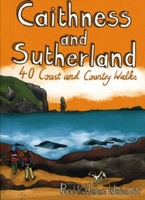 Wandelgids Caithness and Sutherland | Pocket Mountains
Handige compacte wandelgids met 40 dagwandelingen. Deze gids bevat kleine kaartjes en leuke uitgebreide informatie over wat er langs de route te zien is. Goede wandelkaarten zijn echter we noodzakelijk …
 Fietskaart Stirling / Forth Valley &The Trossachs | Harvey Maps
Cycling map of Stirling, the Forth Valley and the Trossachs at 1:80,000 scale Map shows 16 graded cycle routes with detailed route descriptions on reverse Includes enlargement of …
 Wandelkaart Ben Alder | Harvey Maps
Superwalker is designed to be the most practical tool for navigation outdoors. The Superwalker XT25 is based on original HARVEY mapping with all the information a walker would expect on …
 Wandelgids 83 Pathfinder Guides North Coast 500 and Northern Highlands | Ordnance Survey
Enhance your North Coast 500 tour with the only walking guidebook featuring routes based on or accessible from Scotland’s ultimate road trip. Discover Britain’s remotest sandy beaches, Scotland’s most northerly …
 Wandelkaart Fannichs Seana Bhraigh & Ben Wyvis | Harvey Maps
Detailed map for hillwalkers of the Fannichs ridge at the popular 1:25,000 scale. This is an area located to the south of Ullapool and to the west of Dingwall. Includes …
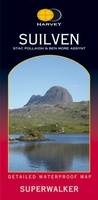 Wandelkaart Suilven / Stac Pollaidh & Ben More Assynt harve | Harvey Maps
Suilven covers the spectacular group of remote northerly munros popular with walkers and climbers. The map area includes Suilven, Canisp, CulMor,Breabag Stac Pollaidh, Conival & Ben More Assynt. This map …
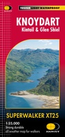 Wandelkaart Knoydart / Kintail / Glen Shiel harvey | Harvey Maps
This remote and beautiful area is often known as 'Scotland's last wilderness'. Detailed map for hillwalkers of Knoydart and Glen Shiel at the popular scale of 1:25,000. Includes …
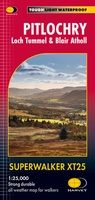 Wandelkaart Pitlochry Loch Tummel & Blair Atholl | Harvey Maps
Detailed map for hillwalkers of Pitlochry, Loch Tummel and Blair Atholl at the popular 1:25,000 scale. Includes Ben Vrackie, Beinn a’ Ghlo and Pass of Killiecrankie. Shows Aberfeldy in …
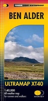 Wandelkaart Ben Alder | Harvey Maps
Covers a large area yet is handily compact. Pocket perfect!Detailed map for runners and walkers of the hills between Loch Tay and Loch Rannoch at the magic scale of 1:40,000.Includes …
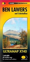 Wandelkaart Ben Lawers & Schiehallion | Harvey Maps
40 years’ experience have gone into HARVEY’s most creative new series. Slim and light, the Ultramap covers a large area and yet is handily compact. Pocket perfect! Includes Ben …
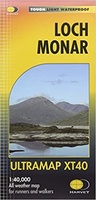 Wandelkaart Loch Monar | Harvey Maps
40 years’ experience have gone into HARVEY’s most creative new series. Slim and light, the Ultramap covers a large area and yet is handily compact. Pocket perfect! The Ultramap …
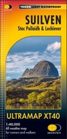 Wandelkaart Suilven / Stac Pollaidh / Lochinver | Harvey Maps
Detailed map for runners and walkers of Suilven and the surrounding area at the magic scale of 1:40,000. Covers a large area yet is handily compact. Pocket perfect! This is …
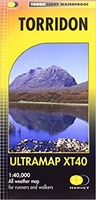 Wandelkaart Torridon | Harvey Maps
Covers a large area yet is handily compact. Pocket perfect!Includes Slioch, Beinn Eighe, Liathach and Beinn Alligin.Detailed map for runners and walkers of the Torridon Hills at the magic scale …
Laatste reviews

Niet echt voor beginners. Ook zijn de routes soms moeilijk qua logistiek. Weer terugkomen aan het eind bv. En in voorseizoen (mei) blijft er niet …
★★★★★ door Tjeerd 17 mei 2024 | Heeft dit artikel gekocht
Van te voren had ik een andere kaart op het oog. Toen ik in de winkel was adviseerde zij mij deze kaart. Op hun verzoek …
★★★★★ door Koen 17 mei 2024 | Heeft dit artikel gekocht
Ideale schaal waar ook de kleinere wegen duidelijk zijn aangegeven. Beschrijving op website is correct.
★★★★★ door Peter 16 mei 2024 | Heeft dit artikel gekocht
Overzichtelijke kaart. Niks op aan te merken.
★★★★★ door Bastiaan de Leeuw 16 mei 2024 | Heeft dit artikel gekocht