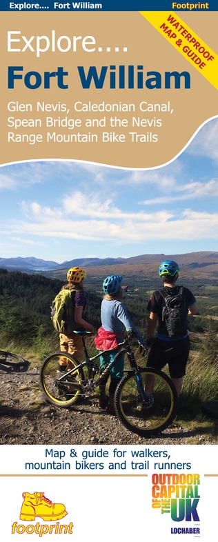
Wandelkaart Fort William | Footprint maps (9781916002920)
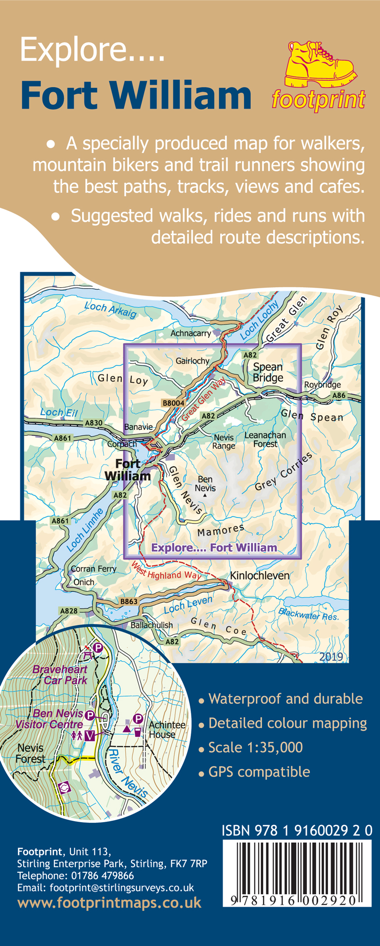
Glen Nevis, Caledonian Canal, Spean Bridge and the Nevis Range Mountain Bike Trails
- ISBN / CODE: 9781916002920
- Schaal: 1:35000
- Uitgever: Footprint maps
- Soort: Wandelkaart
- Taal: Engels
- Bindwijze: -
- Uitvoering: -
- Schrijf als eerste een review
-
€ 14,95
Uitverkocht, nooit meer leverbaar
Beschrijving
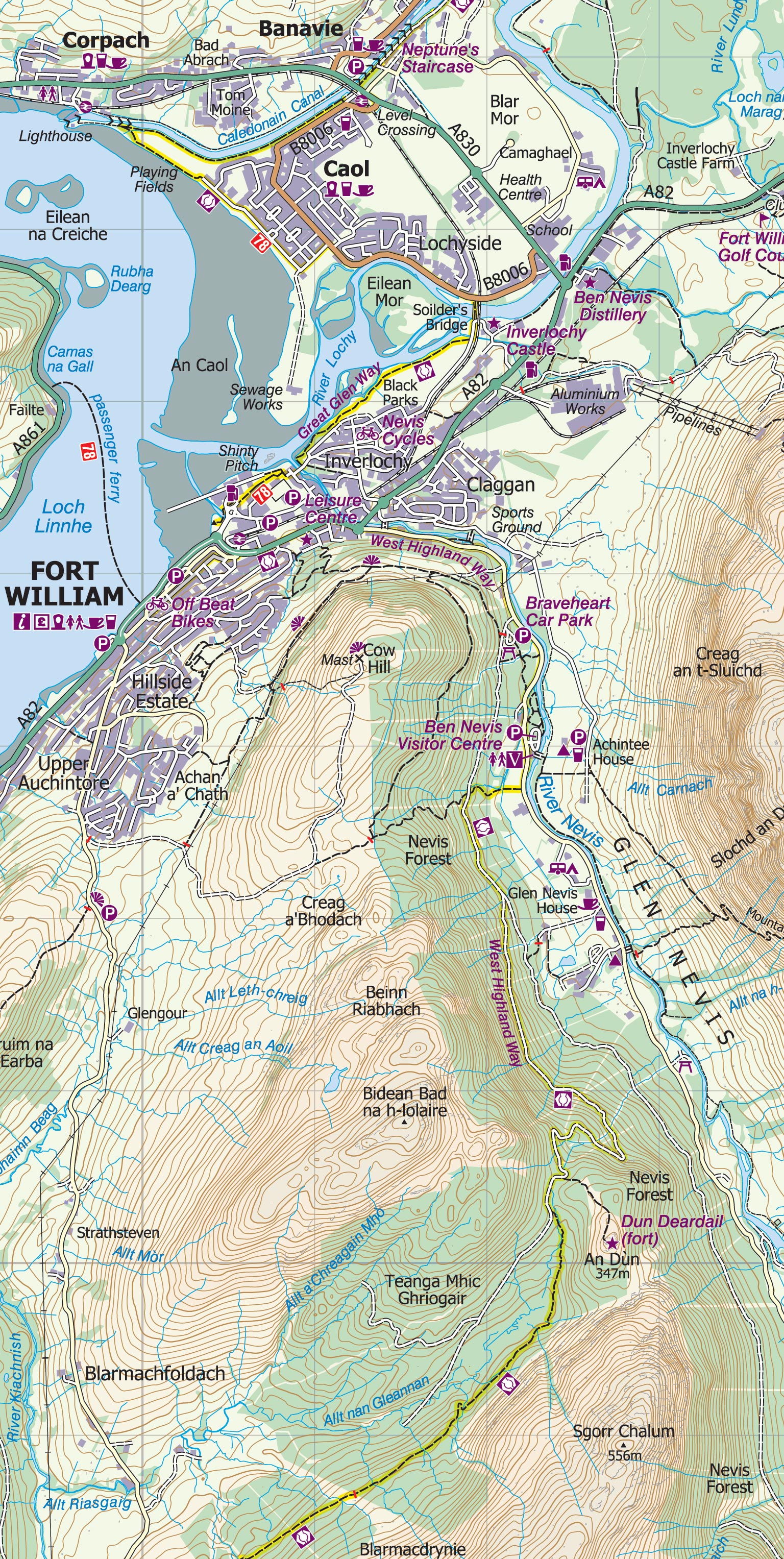
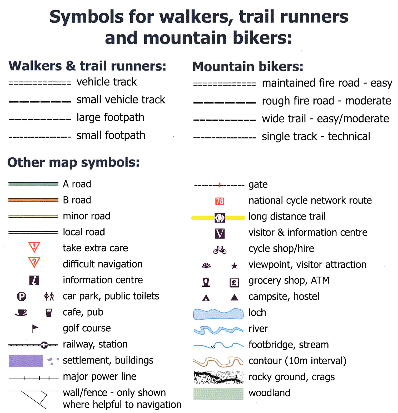
Gedetailleerde wandelkaart van dit gedeelte van Schotland. Ook zeer geschikt voor de mountainbike. Op de achterzijde detailkaartjes met wandel- en mountainbikeroutes. Inclusief veel praktische informatie.
Reviews
Geen reviews gevonden voor dit product.
Schrijf een review
Graag horen wij wat u van dit artikel vindt. Vindt u het goed, leuk, mooi, slecht, lelijk, onbruikbaar of erg handig: schrijf gerust alles op! Het is niet alleen leuk om te doen maar u informeert andere klanten er ook nog mee!
Ook interessant voor europa/schotland/ben-nevis-eo
-

Wandelkaart - Topografische kaart 37
€ 25,95Topografische kaarten ♦ Loch Lomond & Trossach National Park -

Wegenkaart - landkaart 2 OS Road Map
€ 12,95Wegenkaarten Schotse Hooglanden & Speyside -

Wandelgids 1 Walking the Corbetts: V
€ 23,95Wandelgidsen Ben Nevis - Glen Coe - Fort William -

Wandelkaart - Topografische kaart 50
€ 25,95Topografische kaarten ♦ Cairngorms National Park -

Wandelkaart - Topografische kaart 39
€ 19,95Topografische kaarten Ben Nevis - Glen Coe - Fort William