Mandje Tel: +31503126950 Menu
Winkelwagen
Geen items in winkelwagen
Ga naar winkelwagen

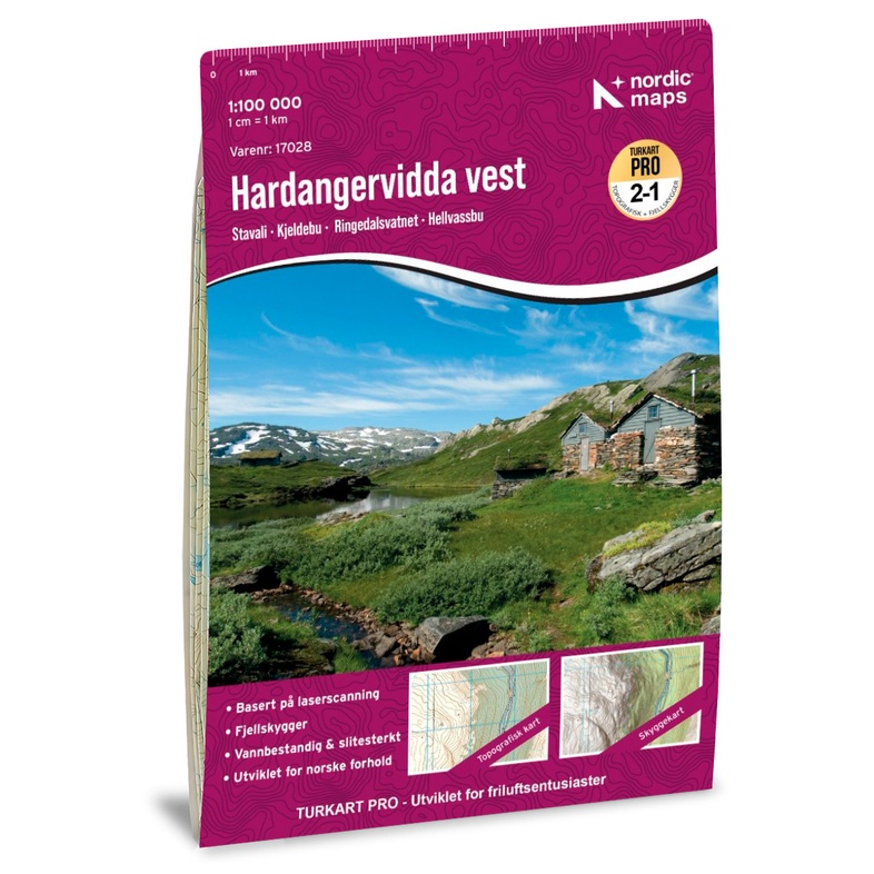
Wandelkaart 120281 Hardangervidda West | Nordeca (7046660170281)
  • ISBN / CODE: 7046660170281
  • Editie: 01-07-2026
  • Aantal blz.: 1
  • Schaal: 1:100000
  • Uitgever: Nordeca
  • Soort: Wandelkaart
  • Serie: Turkart Pro 1:100 000
  • Taal: Engels, Noors
  • Hoogte: 26.0 cm
  • Breedte: 14.0 cm
  • Gewicht: 54.0 g
  • Uitvoering: Scheur- en watervast
  • Bindwijze: -
  • Beoordeling: 4,5 ★★★★★ ★★★★★ (2 reviews) Schrijf een review
  • 33,95

    Levertijd 2 - 4 werkdagen in huis in Belgie Levertijd Nederland Levertijd 2 - 4 werkdagen in huis in Nederland Levertijd Belgie

    Gratis verzending in Nederland vanaf €50,-
Beschrijving

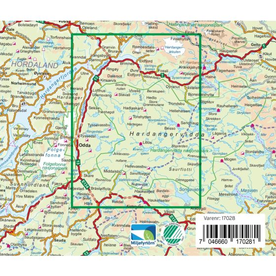
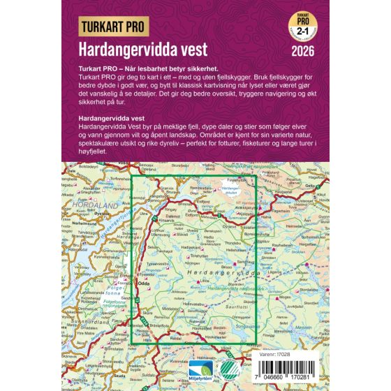
Turkart Pro Hardangervidda West is a detailed and up-to-date hiking map for hikes and outdoor activities in the western part of Hardangervidda. The map is published by Nordic Maps and covers a large area, including Eidfjord, Odda, Haukelifjell, Hallingskarvet, Finse, Hardangerjøkulen, Hardangerfjorden, and Hardangervidda National Park.
 
The map is published at a scale of 1:100, 000, which provides a good overview of large areas and makes it particularly well-suited for planning longer hikes and cabin-to-cabin routes. Marked hiking trails, DNT routes, and a wide selection of staffed, self-service, and unstaffed cabins are shown on the map.
 
Among the cabins and lodgings covered by the map, you’ll find Finsehytta, Haukeliseter Fjellstue, Litlos, Sandhaug, Hadlaskard, Stavali, Stigstuv, Hedlo, Hellevassbu, Dyranut, and Viveli Fjellstova, in addition to a number of other cabins on Hardangervidda.
 
The map also shows several of the area’s most famous natural attractions, including Vøringsfossen, Hårteigen, Hardangerjøkulen, and Hardangerfjorden, as well as popular entry points from Odda, Kinsarvik, Eidfjord, and Røldal.
 
The Turkart Pro series combines topographic precision with 3D mountain shadows based on laser scanning of Norwegian terrain. One side shows a traditional topographic map with contour lines, while the other provides a terrain model with relief that makes the landscape easier to read and navigate.
 
The map is printed on Tyvek, a highly durable and water-resistant material that can withstand active use and changing weather conditions. The map is printed on both sides in a convenient, foldable format measuring 70 × 100 cm.
 
The Turkart Pro Hardangervidda West map also includes useful DNT information and is well-suited for hiking, ski touring, and other activities in the high mountains. The map is in Norwegian and English and was updated in 2026.

Reviews

Perfecte kaart en waterbestendig!

Perfecte kaart en waterbestendig! De kaart zit in een houder met magneetje, mooi!

★★★★★ door Bob van Amstel 24 mei 2016

Vond u dit een nuttige review? (login om te beoordelen)

-
Nee (0)
Wandelkaart Hardangervidda

Kaart zeer geschikt voor de voorbereiding van en het wandelen in de Hardangervidda. Een 1:50000 kaart was wellicht geschikter geweest, maar dan heb je meerdere kaarten nodig.

★★★★★ door Syds Post 24 juni 2013

Vond u dit een nuttige review? (login om te beoordelen)

-
Nee (0)

Schrijf een review

Graag horen wij wat u van dit artikel vindt. Vindt u het goed, leuk, mooi, slecht, lelijk, onbruikbaar of erg handig: schrijf gerust alles op! Het is niet alleen leuk om te doen maar u informeert andere klanten er ook nog mee!