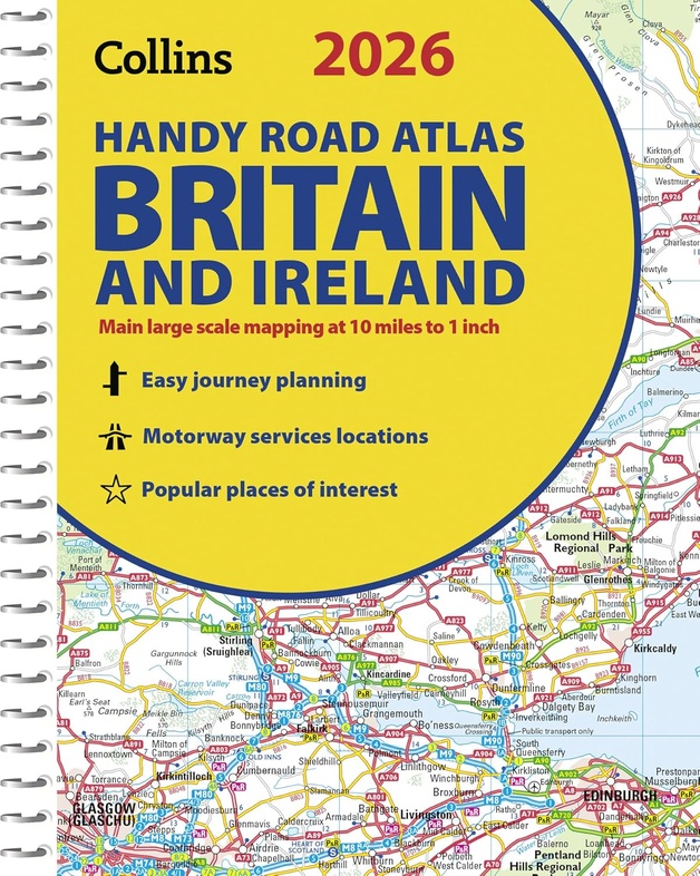
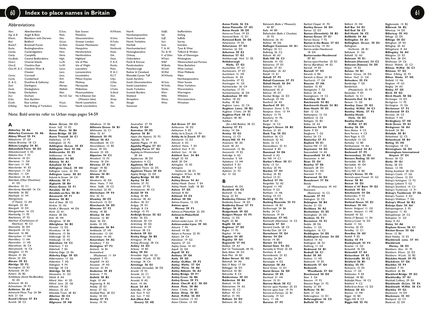
Wegenatlas Britain & Ireland road atlas | Ringband | A5-Formaat | Collins (9780008719227)
- ISBN / CODE: 9780008719227
- Editie: 13-03-2025
- Aantal blz.: 80
- Schaal: 1:634000
- Uitgever: Collins
- Soort: Wegenatlas
- Taal: Engels
- Hoogte: 31.0 cm
- Breedte: 23.0 cm
- Gewicht: 152.0 g
- Bindwijze: Paperback
- Uitvoering: Papier
- Schrijf als eerste een review
-
€ 9,95
Op voorraad. Voor 17.00 uur op werkdagen besteld, morgen in huis in Nederland Levertijd Belgie
Gratis verzending in Nederland vanaf €50,-


Beschrijving
Van de uitgever
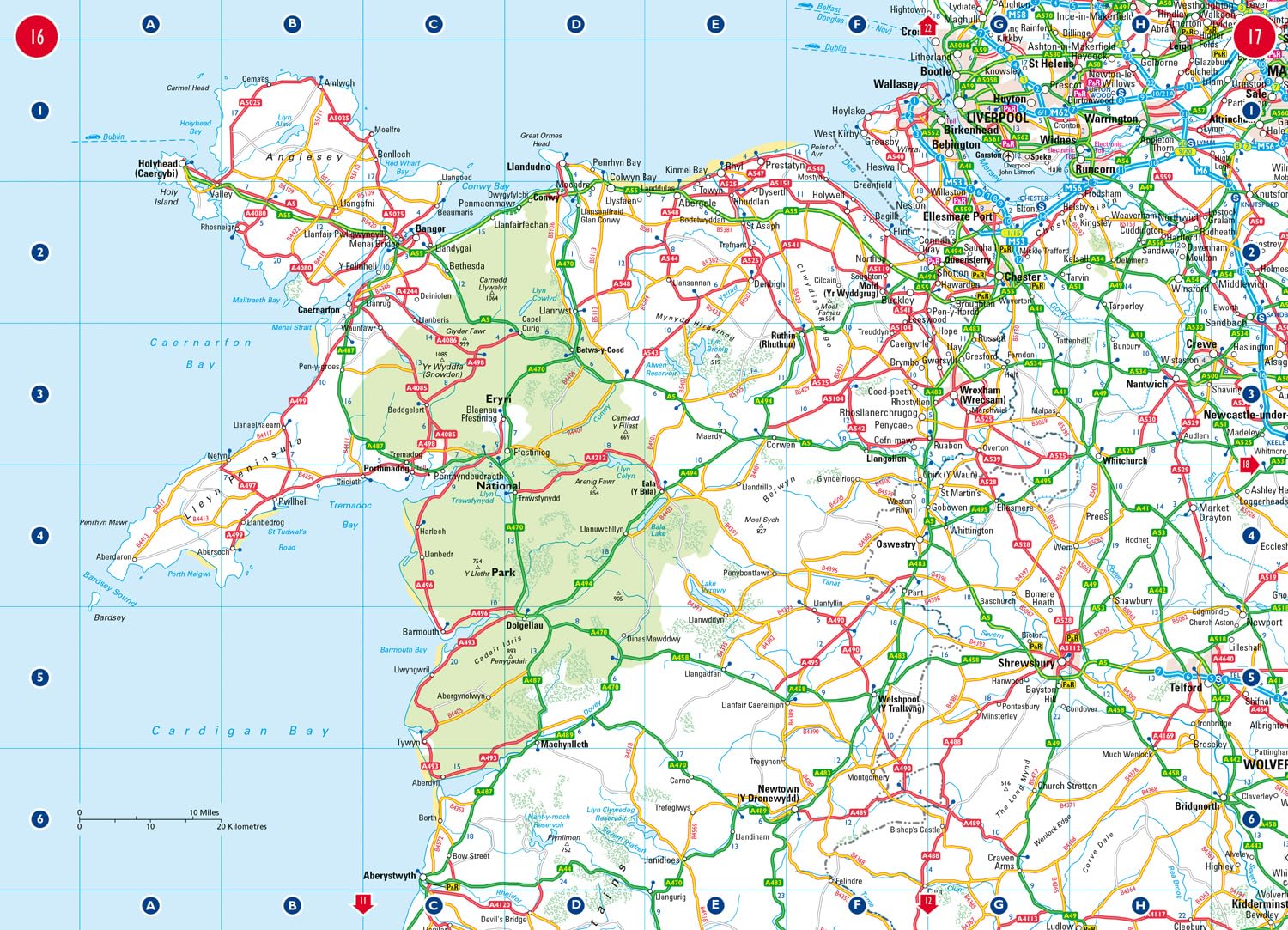
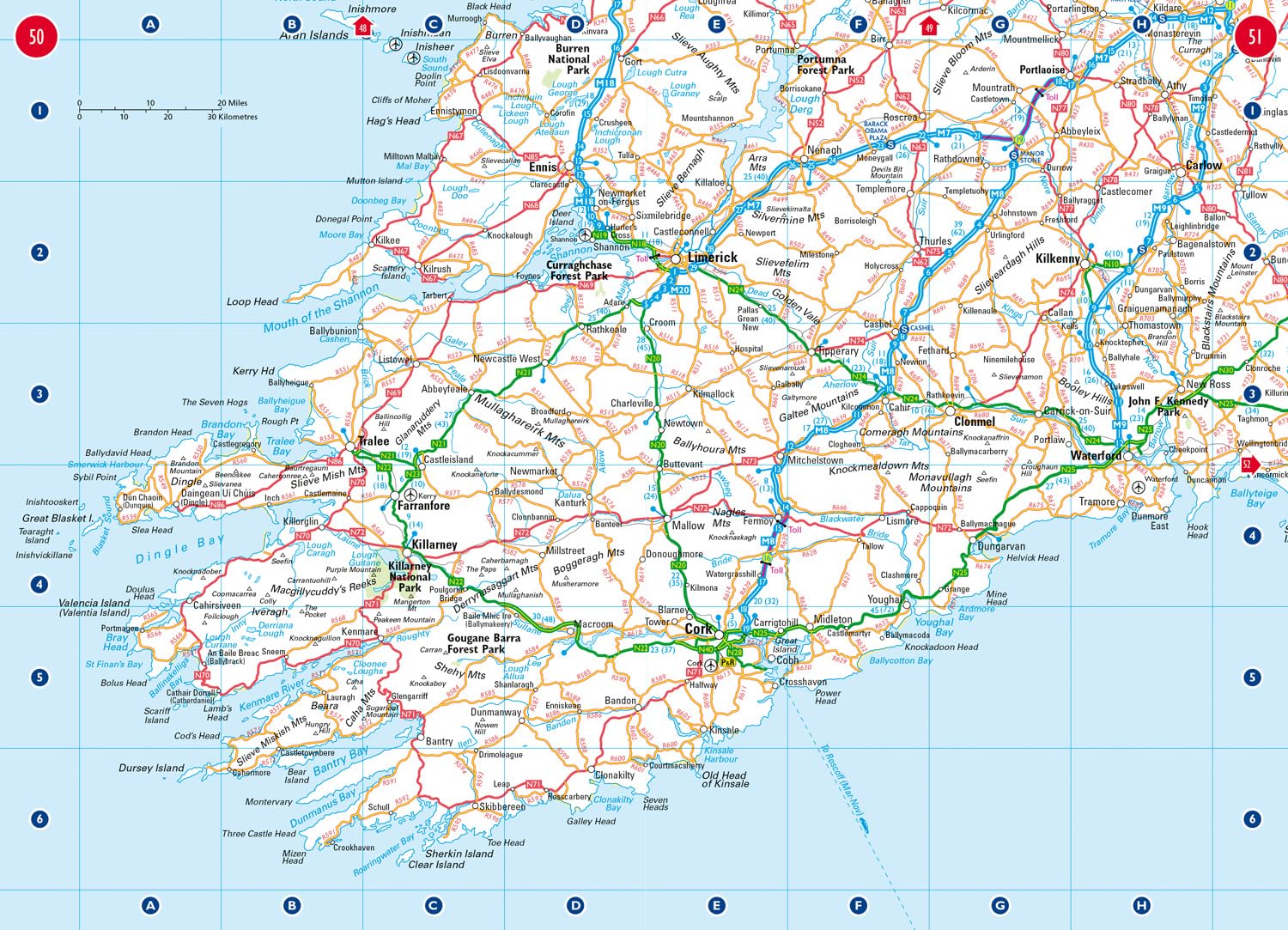
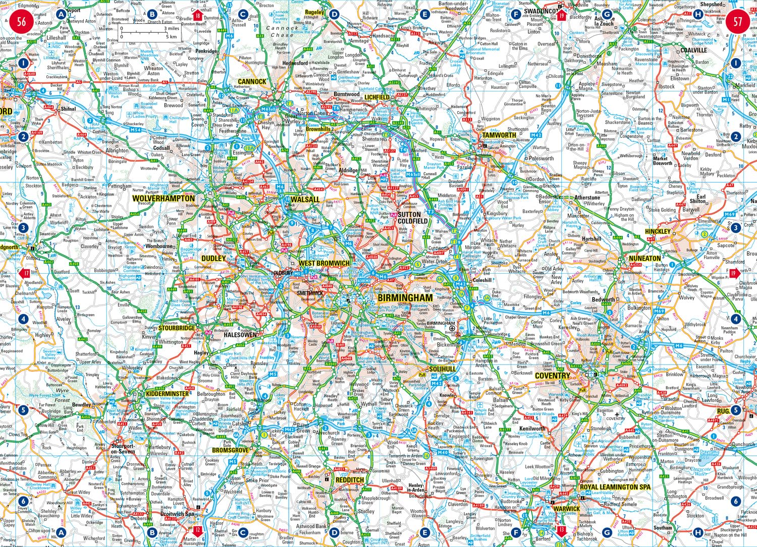
This easy-to-use, handy A5 sized road atlas with popular lie-flat spiral binding features extremely clear route planning maps of Britain and Ireland and fits neatly into your glove box or bag. The atlas has been fully updated.The maps of Britain are at 9.9 miles to 1 inch (1:625,000) and the whole of Ireland is covered at 15.8 miles to 1 inch (1:1,000,000). There are also a selection of more detailed urban area maps at 4.5 miles to 1 inch (1:285,000) to aid route planning in these busy areas.
Main features
• Road maps that focus on the main roads, motorways and settlements.
More detailed maps of London, Manchester, Merseyside and West Midlands.
Park & Ride locations (for bus and rail).
Handy distance calculator chart highlighting distances between the major towns.
Reviews
Geen reviews gevonden voor dit product.
Schrijf een review
Graag horen wij wat u van dit artikel vindt. Vindt u het goed, leuk, mooi, slecht, lelijk, onbruikbaar of erg handig: schrijf gerust alles op! Het is niet alleen leuk om te doen maar u informeert andere klanten er ook nog mee!
Ook interessant voor europa/ierland
-

Stadsplattegrond 1 Belfast Street Ma
€ 19,95Stadsplattegronden Belfast -

Campergids Mit dem Wohnmobil Irland
€ 22,50Campergidsen Ierland -
, Galway | Ordnance Survey Ireland")
Topografische kaart - Wandelkaart 37
€ 19,50Topografische kaarten Donegal - Mayo - Noordwest Ierland -

Wandelgids 5988 Kompass Wanderführer
€ 19,95Wandelgidsen Noord Ierland -

Wandkaart 02022 Britain and Ireland
€ 25,95Wandkaarten van landen Engeland