Winkelwagen
Geen items in winkelwagen
Ga naar winkelwagen
Kaarten - Aveyron
 Wegenkaart - landkaart 338 Aveyron - Tarn | Michelin★★★★★
 Wandelkaart - Topografische kaart 2240 SB - Serie Bleue Varen, Laguépie, Najac | IGN - Institut Géographique National
 Wandelkaart - Topografische kaart 2338 SB - Serie Bleue Decazeville | IGN - Institut Géographique National
 Wandelkaart - Topografische kaart 2339 SB - Serie Bleue Rieupeyroux - Moyrazes | IGN - Institut Géographique National
 Wandelkaart - Topografische kaart 2340 SB - Serie Bleue Naucelle, La Salvetat, Peyrales | IGN - Institut Géographique National
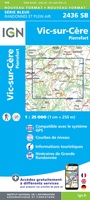 Wandelkaart - Topografische kaart 2436 SB - Serie Bleue Pierrefort, Barrage de Sarrans, Vic-sur-Cère | IGN - Institut Géographique National★★★★★
 Wandelkaart - Topografische kaart 2437 SB - Serie Bleue Laguiole, Entraygues-sur-Truyere | IGN - Institut Géographique National★★★★★
 Wandelkaart - Topografische kaart 2438 SB - Serie Bleue Espalion - Estaing | IGN - Institut Géographique National
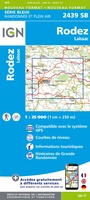 Wandelkaart - Topografische kaart 2439 SB - Serie Bleue Rodez - Laissac | IGN - Institut Géographique National
 Wandelkaart - Topografische kaart 2440 SB - Serie Bleue Salles-Curan, Lac de Pareloup, Cassagnes, Begonhes | IGN - Institut Géographique National
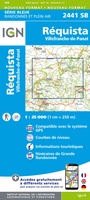 Wandelkaart - Topografische kaart 2441 SB - Serie Bleue Réquista, Villefranche-de-Panat | IGN - Institut Géographique National★★★★★
 Wandelkaart - Topografische kaart 2442 SB - Serie Bleue Belmont-sur-Rance, St-Sernin-sur-Rance | IGN - Institut Géographique National
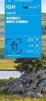 Wandelkaart 2537OT Nasbinals - Monts d'Aubrac | IGN - Institut Géographique National
 Wandelkaart 2538OT Ste-Eulalie-d'Olt | IGN - Institut Géographique National
 Wandelkaart - Topografische kaart 2539 SB - Serie Bleue Sévérac-le-Château, Lapanouse | IGN - Institut Géographique National
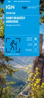 Wandelkaart 2540 SB - Serie Bleue St-Beauzély / Aguessac / Gorges du Tarn | IGN - Institut Géographique National
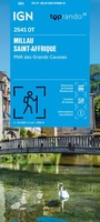 Wandelkaart 2541OT Millau / St-Affrique / PNR Grands Causses | IGN - Institut Géographique National
 Wandelkaart - Topografische kaart 2542OT Camarès - Avène | IGN - Institut Géographique National
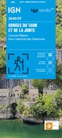 Topografische kaart - Wandelkaart 2640OT Gorges du Tarn et de la Jonte / Causse Méjan PNR | IGN - Institut Géographique National★★★★★
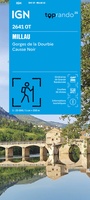 Wandelkaart 2641OT Millau / Gorges de la Dourbie / Causse Noir | IGN - Institut Géographique National★★★★★
Laatste reviews

Klein maar fijn en superhandig boekje
Dit handzame en toch heel informatieve en duidelijke boekje over de Camino Primitivo heeft mij positief verrast. Zoveel handige informatie in zo’n klein en toch …
★★★★★ door Belin 10 april 2026 | Heeft dit artikel gekocht
uitstekende service, zeer snelle levering.
Het boek voldoet geheel aan mijn behoefte, goede route omschrijving, duidelijke kaarten en extra informatie. Had al eerder boeken van deze schrijver aangeschaft over andere …
★★★★★ door Th. Veerkamp 10 april 2026 | Heeft dit artikel gekocht
Prima service en overzichtelijke, gedetailleerde en stevige kaart
Met de kaart leek het of we de route al aan het lopen waren!
★★★★★ door Muskens Joost 10 april 2026 | Heeft dit artikel gekocht
gedeeltelijk bruikbaar
Blij met een fietskaart, maar: Het was mij niet duidelijk dat bij een aparte fietskaart van het Gota-kanaal met die naamgeving, het westelijk deel tussen …
★★★★★ door Remco Korteweg 09 april 2026 | Heeft dit artikel gekocht