Winkelwagen
Geen items in winkelwagen
Ga naar winkelwagen
Jura
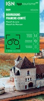 Wegenkaart - landkaart 09 TOP 250 Bourgogne - Franche-Comté | IGN - Institut Géographique National
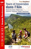 Wandelgids 0901 Tours et traversées dans l'Ain GR9, GR9A, GR59 | FFRP
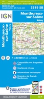 Wandelkaart - Topografische kaart 3319 SB - Serie Bleue Monthureux-sur-Saône - Voisey | IGN - Institut Géographique National
 Wandelkaart - Topografische kaart 3320 SB - Serie Bleue Jussey - Faverney | IGN - Institut Géographique National
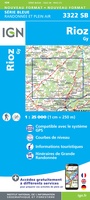 Wandelkaart - Topografische kaart 3322 SB - Serie Bleue Gy - Rioz | IGN - Institut Géographique National
 Wandelkaart - Topografische kaart 3323ET Besançon - Forêt de Chailluz | IGN - Institut Géographique National
 Wandelkaart - Topografische kaart 3324ET Arc-et-Senans | IGN - Institut Géographique National
 Wandelkaart 3325OT Arbois / Salins-les-Bains / Forêt Domaniale de la Joux | IGN - Institut Géographique National
 Wandelkaart - Topografische kaart 3326ET Champagnole | IGN - Institut Géographique National★★★★★
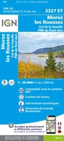 Wandelkaart - Topografische kaart 3327ET Morez - les Rousses | IGN - Institut Géographique National★★★★★★★★★★
 Topografische kaart - Wandelkaart 3327OT St-Claude / Lac de Vouglans / PNR du Haut Jura | IGN - Institut Géographique National★★★★★
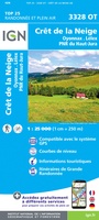 Wandelkaart - Topografische kaart 3328OT Crêt de la Neige | IGN - Institut Géographique National
 Wandelkaart - Topografische kaart 3420 SB - Serie Bleue Luxeuil-les-Bains, Conflans-sur-Lanterne | IGN - Institut Géographique National
 Wandelkaart - Topografische kaart 3421 SB - Serie Bleue Vesoul | IGN - Institut Géographique National
 Wandelkaart - Topografische kaart 3422 SB - Serie Bleue Baume-les-Dames | IGN - Institut Géographique National
 Wandelkaart - Topografische kaart 3423ET Baumes-les-Dames, Vallee du Doubs | IGN - Institut Géographique National
 Wandelkaart - Topografische kaart 3424OT Ornans, Source de la Loue | IGN - Institut Géographique National
 Wandelkaart - Topografische kaart 3425OT Pontarlier | IGN - Institut Géographique National★★★★★
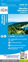 Wandelkaart - Topografische kaart 3426OT Mouthe - Métabief | IGN - Institut Géographique National★★★★★
 Wandelkaart - Topografische kaart 3429OT Geneve | IGN - Institut Géographique National
- 1
- 2
- 3
- Volgende >>
- 5
Laatste reviews

Prima kaart, snel geleverd
Zoals altijd snel geleverd, prima kaart voor de 3 à 4 daagse randonnee dents du midi.
★★★★★ door Kees wim Van den Herik 28 maart 2026 | Heeft dit artikel gekocht
Gedetailleede kaart
Prima kaart, alleen eeg gedetailleerd en niet voorzien van gemarkeerde wandelroutes en hutten. Zoals de beschrijving al aangeeft is deze niet zo geschikt als wandelkaart …
★★★★★ door Kees wim Van den Herik 28 maart 2026 | Heeft dit artikel gekocht
Mooi
Heel erg dankbaar
★★★★★ door Marc 27 maart 2026 | Heeft dit artikel gekocht
Prima fietskaart
Ik denk dat ik met deze fietskaart prima uit de voeten kan. Maar dat weet ik pas na de zomer.
★★★★★ door Prins 27 maart 2026 | Heeft dit artikel gekocht