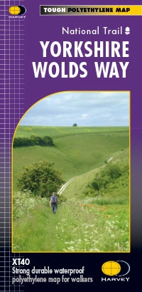
Wandelkaart Yorkshire Wolds Way | Harvey Maps (9781851375929)
- ISBN / CODE: 9781851375929
- Editie: 01-12-2022
- Aantal blz.: 1
- Schaal: 1:40000
- Uitgever: Harvey Maps
- Soort: Wandelkaart
- Serie: National Trail Maps
- Taal: Engels
- Hoogte: 25.0 cm
- Breedte: 14.0 cm
- Gewicht: 39.0 g
- Uitvoering: Scheur- en watervast
- Bindwijze: -
- Beoordeling: 5,0 ★★★★★ (1 review) Schrijf een review
-
€ 26,95
Leverbaar in 3 - 5 werkdagen in huis in Nederland Levertijd Belgie
Gratis verzending in Nederland vanaf €50,-
Beschrijving
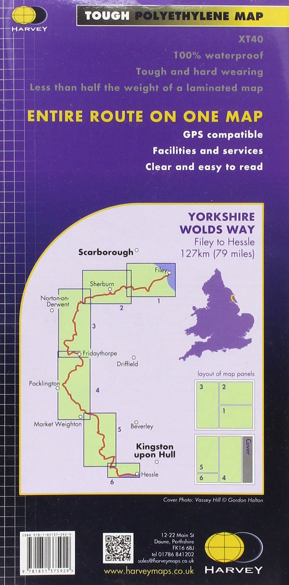
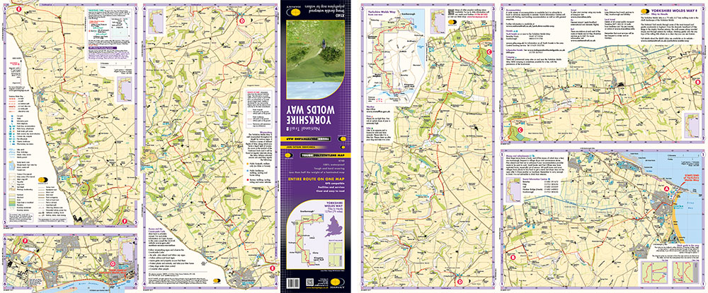
The Yorkshire Wolds Way is a 79 mile (127 km) walking route in the chalk landscape of the Yorkshire Wolds. The National Trail wends through some of the most tranquil and gentle countryside in England. From the banks of the mighty Humber estuary, along wooded slopes and through serene dry valleys, the walk climbs gently onto the airy tops of the rolling hills where on a clear day you can see forever. Descending from the northern escarpment the final section of the way finishes on the dramatic headland of Filey Brigg.
Reviews
Heerlijke kaart om te gebruiken onderweg tijdens een trekking. Duidelijk en met veel informatie. Goede legenda. Is (bijna) niet stuk te krijgen. Dat ie waterdicht is, is natuurlijk ook geweldig. Een fijn hulpmiddel tijdens de wandeling.
★★★★★ door Pieter 19 juli 2025 | Heeft dit artikel gekochtVond u dit een nuttige review? (login om te beoordelen)
Schrijf een review
Graag horen wij wat u van dit artikel vindt. Vindt u het goed, leuk, mooi, slecht, lelijk, onbruikbaar of erg handig: schrijf gerust alles op! Het is niet alleen leuk om te doen maar u informeert andere klanten er ook nog mee!
Ook interessant voor europa/engeland/yorkshire-and-the-humber
-

Wegenkaart - landkaart 3 Nicolson Ro
€ 12,95Wegenkaarten ♦ Northumberland National Park -

Wandelgids 028 Pathfinder Guides Nor
€ 18,95Wandelgidsen Yorkshire and the Humber -

Wandelkaart - Topografische kaart 28
€ 20,95Topografische kaarten Yorkshire and the Humber -

Wandelkaart - Topografische kaart 29
€ 20,95Topografische kaarten Yorkshire and the Humber -

Wandelkaart - Topografische kaart 29
€ 26,95Topografische kaarten Yorkshire and the Humber