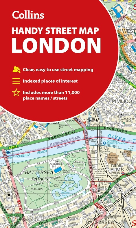
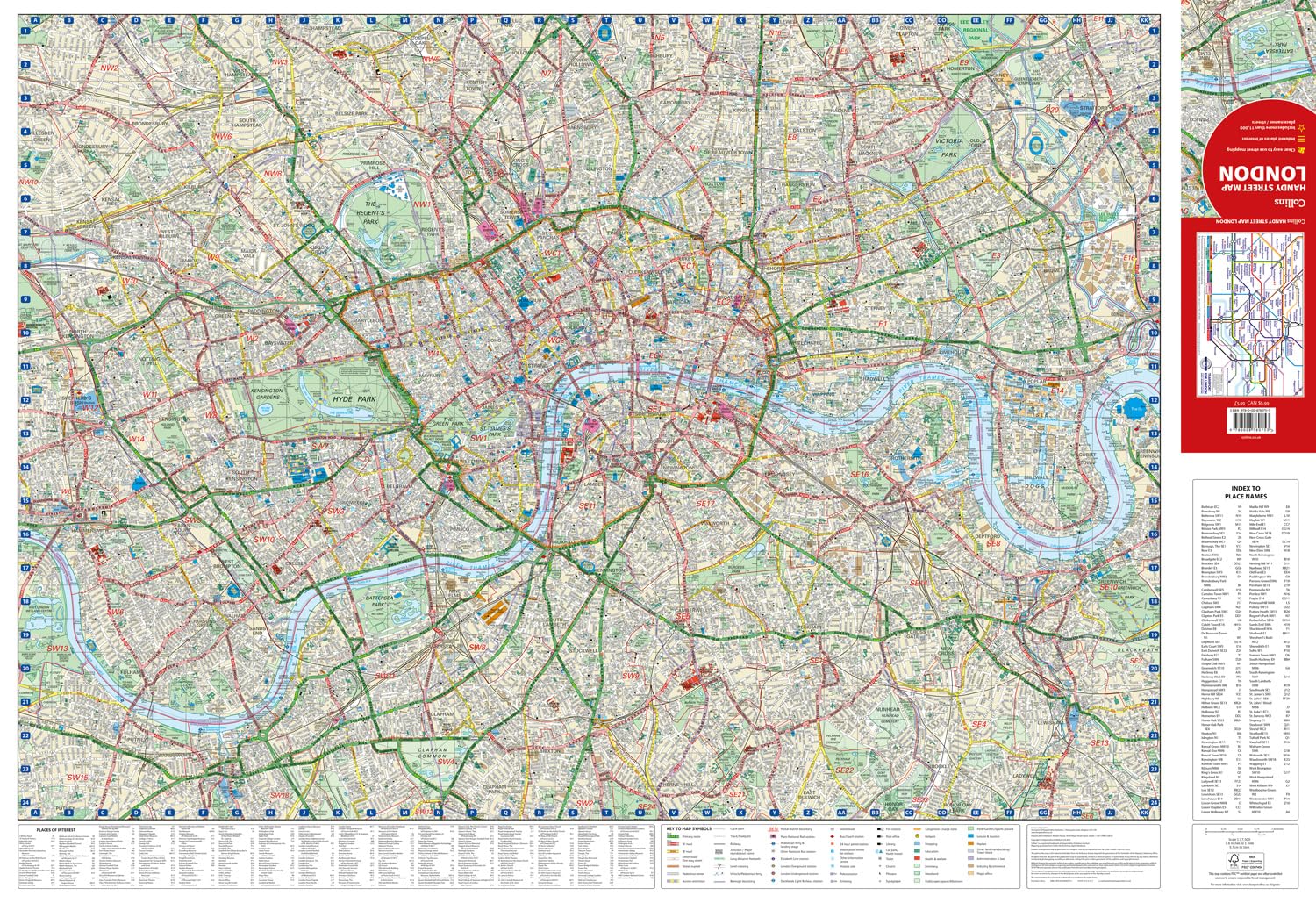
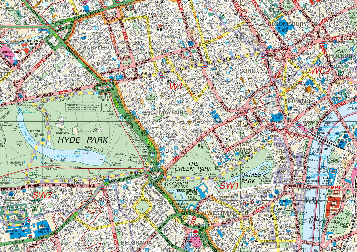
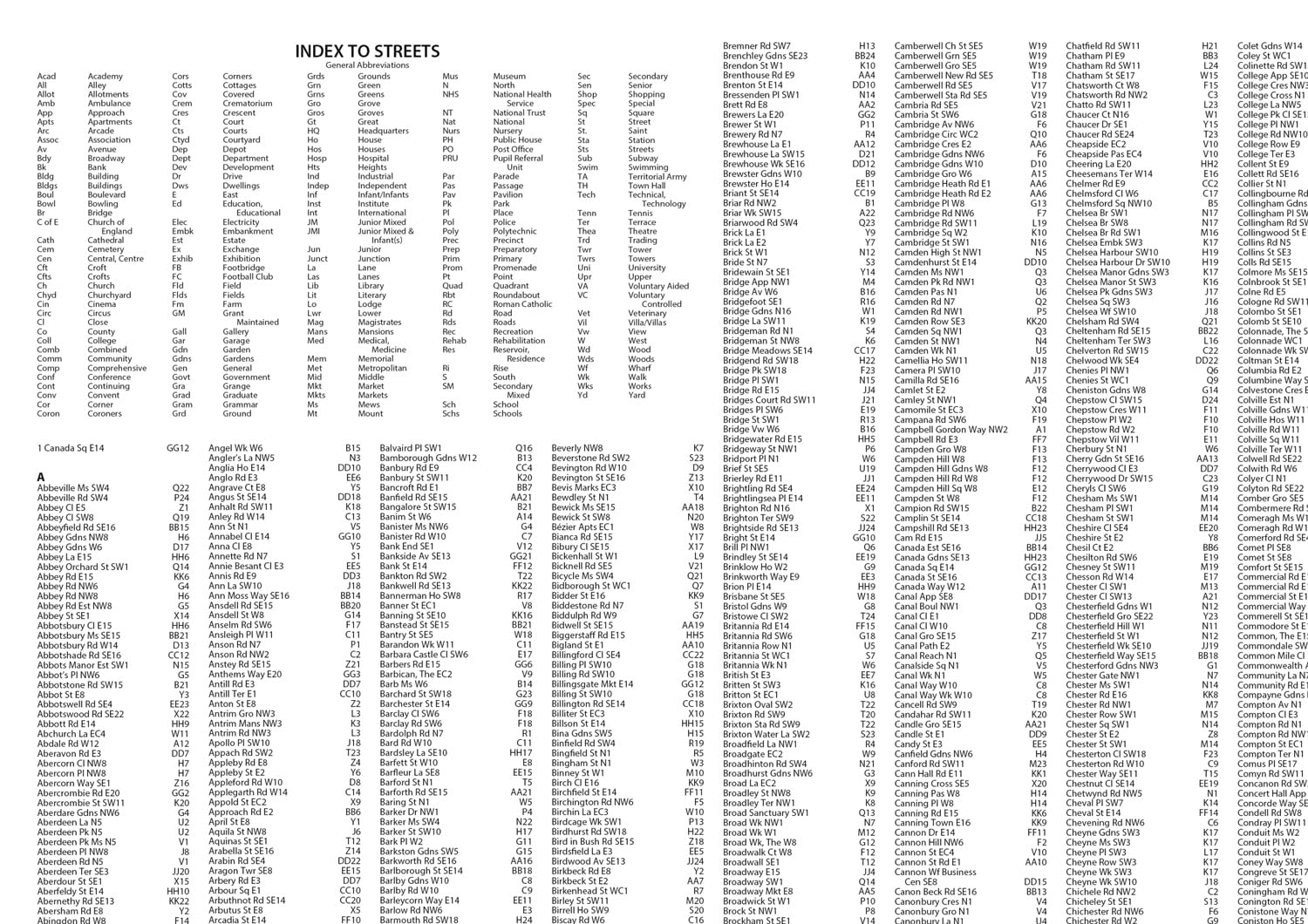
Stadsplattegrond London Handy Street Map | Collins (9780008780753)
- ISBN / CODE: 9780008780753
- Editie: 26-03-2026
- Druk: 9
- Schaal: 1:17500
- Uitgever: Collins
- Soort: Stadsplattegrond
- Taal: Engels
- Hoogte: 19.2 cm
- Breedte: 11.4 cm
- Dikte: 1.2 cm
- Gewicht: 90.0 g
- Bindwijze: -
- Uitvoering: Papier
- Schrijf als eerste een review
-
€ 8,95
Op voorraad. Voor 17.00 uur op werkdagen besteld, morgen in huis in Nederland Levertijd Belgie
Gratis verzending in Nederland vanaf €50,-

Beschrijving
Reviews
Geen reviews gevonden voor dit product.
Schrijf een review
Graag horen wij wat u van dit artikel vindt. Vindt u het goed, leuk, mooi, slecht, lelijk, onbruikbaar of erg handig: schrijf gerust alles op! Het is niet alleen leuk om te doen maar u informeert andere klanten er ook nog mee!
Ook interessant voor europa/engeland/londen
-

Legpuzzel City Puzzle Londen - Londo
€ 21,95Legpuzzels - 500 stukjes ■ Londen -

Fietskaart 06 Cycle Maps UK London a
€ 12,95Fietskaarten East of England - East Anglia -

Wandelgids 072 Pathfinder Guides The
€ 18,95Wandelgidsen South East England -

Reisgids Capitool Top 10 Capitool To
€ 16,99Reisgidsen ■ Londen -

Wandelkaart - Topografische kaart 17
€ 20,95Topografische kaarten South East England