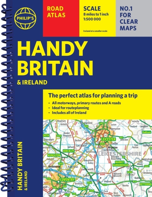
Wegenatlas Philip's Handy Atlas Britain: | Ringband | A5-Formaat | Philip's Maps (9781849077057)
- ISBN / CODE: 9781849077057
- Editie: 23-01-2025
- Aantal blz.: 80
- Auteur(s): Philip's Maps
- Uitgever: Philip's Maps
- Soort: Wegenatlas
- Taal: Engels
- Hoogte: 21.3 cm
- Breedte: 16.4 cm
- Dikte: 1.3 cm
- Gewicht: 136.0 g
- Bindwijze: RIngband
- Uitvoering: -
- Schrijf als eerste een review
-
€ 11,95
Leverbaar in 3 - 5 werkdagen in huis in Nederland Levertijd Belgie
Gratis verzending in Nederland vanaf €35,-
Beschrijving
Reviews
Geen reviews gevonden voor dit product.
Schrijf een review
Graag horen wij wat u van dit artikel vindt. Vindt u het goed, leuk, mooi, slecht, lelijk, onbruikbaar of erg handig: schrijf gerust alles op! Het is niet alleen leuk om te doen maar u informeert andere klanten er ook nog mee!
Ook interessant voor europa/engeland
-

Topografische kaart - Wandelkaart 33
€ 19,50Topografische kaarten Killkenny - Waterford - Zuidoost Ierland -

Campergids 29 Mit dem Wohnmobil nach
€ 26,95Campergidsen Ierland -

Wegenkaart - landkaart 3303 Adventur
€ 17,50Wegenkaarten Ierland -

Fietskaart 1 Tour Map Cornwall | Ord
€ 10,95Fietskaarten ♦ Devon - Cornwall -

Wandkaart 20664 Engeland en Wales, 7
€ 25,95Wandkaarten van landen Wales