Kaarten - Engeland
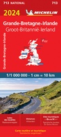 Wegenkaart - landkaart 713 Groot-Brittannië & Ierland 2024 Great Britain | Michelin
Zoals je van Michelin mag verwachten is deze kaart zeer overzichtelijk en heeft een duidelijk helder kaartbeeld. De kaart geeft uitgebreid toeristische informatie weer. Met stadsplattegrond van de hoofdstad. This …
★★★★★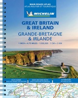 Wegenatlas Great Britain and Ireland 2024 - Main Roads Atlas (A4-Spiral) | Michelin
Full of practical features, the Michelin Great Britain & Ireland 2024 - Main Roads Atlas (A4-Spiral) is the perfect companion for your everyday journey and holiday planning. Updated every year, …
★★★★★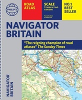 Wegenatlas Navigator Britain - Engeland en Schotland 1:100.000 | Philip's Maps
Bijzonder gedetaileerde wegenatlas van Engeland en Schotland op schaal 1:100.000 (met het noorden van Schotland 1:200.000). Alle wegen, bezienswaardigheden, National Trails, campings ... noem maar op en je vindt het …
★★★★★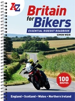 Wegenatlas Britain for Bikers | Voor Motoren | A-Z Map Company
Discover the best biking routes around Great Britain and Northern Ireland. Your essential rideout roadbook covering the best biking routes around Great Britain and Northern Ireland, including short trips and …
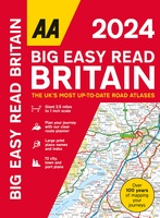 Wegenatlas Big Easy Read Britain 2024 | A3 | Ringband | AA Publishing
AA Publishing brings you the UK’s most up-to-date road atlases Over 100 years of mapping your journeys • Giant scale mapping at 2.5 miles to 1 inch = 1:25,000 • …
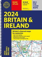 Wegenatlas Road Atlas Britain and Ireland 2024 | Philip's Maps
PHILIP'S - Market leaders and No. 1 in the UK for clear maps'Good balance between detail and clarity with excellent town maps' What Car? * Super-clear mapping at a scale …
★★★★★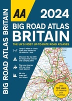 Wegenatlas Big Road Atlas Britain 2024 - A3 | Ringband | AA Publishing
This best-selling A3 format atlas is available two binding styles; softback and spiral bound. Each page has been titled with its geographical location so you can turn to the page …
★★★★★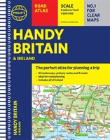 Wegenatlas Handy Road Atlas Britain A5-Formaat | Philip's Maps
"The perfect atlas for planning a trip anywhere in the UK and Ireland"The essential handy road atlas for planning a trip in Britain and Ireland. Keep it in the glove …
 Wegenkaart - landkaart Routemap The Longest Road Out | Longestroadout
Deze kaart hoort bij het boek The Longest Road Out
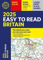 Wegenatlas Easy to Read Road Atlas Britain 2025 | Philip's Maps
"The detail you need at a size you can read". The latest 2025 Philip's Easy to Read Road Atlas of Britain from the best-selling Road Atlas range has over 350 …
★★★★★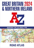 Wegenatlas Great Britain and Northern Ireland Road Atlas 2024 | A-Z Map Company
A full-colour, paperback road atlas of Great Britain, now fully revised and updated. Clear detailed road mapping at a scale of 3.5 miles to 1 inch. Presented in a large, …
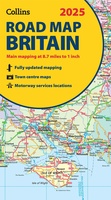 Wegenkaart - landkaart Road Map of Britain 2025 | Collins
Full-colour, double-sided road map of Great Britain at a scale of 8.7 miles to 1 inch. Northern England, Scotland and the Isle of Man are on one side with Southern …
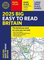 Wegenatlas Philip's Easy to Read Road Atlas of Britain 2025 | A3-Formaat | Paperback | Philip's Maps
With the detail you need at a size you can read, the latest edition of 2025 Philip's Big Easy to Read Road Atlas of Britain is super-clear, super-sized and bang …
 Wegenatlas AA Glovebox Atlas Britain | AA Publishing
This handy atlas fits in the glovebox of your car, perfect for quick referencing on the move. The clear mapping includes a range of essential motoring and useful touring information …
 Spoorwegenkaart The British Isles by Train and Ferry | Cosmographics
Plan your journey and explore the British Isles by train and ferry. This attractive, detailed map shows how the rail network, along with ferries to the more isolated areas, allows …
 Wegenkaart - landkaart 10 Road Map Britain Britain - Groot Brittannië | AA Publishing
Goede dubbelzijdige overzichtskaart met plaatsnamenregister van heel Engeland met Schotland erbij. Each map includes information on toll points, service areas, road numbers, motorways, dual carriageways and wide and narrow local …
★★★★★★★★★★ Wegenatlas Road Atlas Britain 2024 - A4 | AA Publishing
Wegenatlas, met spiraal, van Groot-Brittannie, Engeland, Wales en Schotland, met toeristische informatie This top-selling road atlas showcases Britain’s clearest mapping from the experts from the AA. Each page has been …
★★★★★ Fietskaart The Ultimate UK Cycle Route Planner | Excellent Books
Fully updated and revised 4th edition for 2022 with an increased sheet size. One of the best selling UK cycle publications giving an overview of all the main signed UK …
★★★★★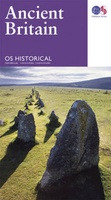 Wegenkaart - landkaart Ancient Britain | Ordnance Survey
The Ordnance Survey Ancient Britain map is a comprehensive guide to the most important archaeological sites of early English, Welsh and Scottish history. Ordnance Survey's Ancient Britain map shows Neolithic, …
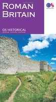 Wegenkaart - landkaart Roman Britain | Ordnance Survey
An informative map showing the location of the most important ancient monuments of Roman Britain. The map has been produced by Ordnance Survey in collaboration with the Ancient Monument Trusts …
Laatste reviews

Niet echt voor beginners. Ook zijn de routes soms moeilijk qua logistiek. Weer terugkomen aan het eind bv. En in voorseizoen (mei) blijft er niet …
★★★★★ door Tjeerd 17 mei 2024 | Heeft dit artikel gekocht
Van te voren had ik een andere kaart op het oog. Toen ik in de winkel was adviseerde zij mij deze kaart. Op hun verzoek …
★★★★★ door Koen 17 mei 2024 | Heeft dit artikel gekocht
Ideale schaal waar ook de kleinere wegen duidelijk zijn aangegeven. Beschrijving op website is correct.
★★★★★ door Peter 16 mei 2024 | Heeft dit artikel gekocht
Overzichtelijke kaart. Niks op aan te merken.
★★★★★ door Bastiaan de Leeuw 16 mei 2024 | Heeft dit artikel gekocht