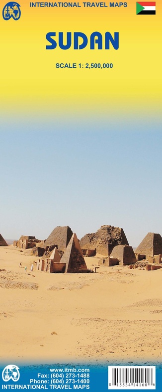
Winkelwagen
Sudan with a small plan of Khartoum. Relief is rendered through altitude colouring with spot heights and additional graphics show sand dunes, lava fields, salt flats, marshes and swamps, oases, wells and areas liable to seasonal flooding. Road detail includes unsurfaced roads and tracks, with intermediate driving distances on main routes, locations of petrol supplies and border crossings. Railways, local airfields and ferry connections on the northern section of the Nile are marked and internal administrative boundaries are shown with names of the provinces.
National parks, wildlife reserves and other protected areas are highlighted and symbols mark archaeological sites, mosques and churches, campsites and other selected accommodation etc. Includes a small street plan of central Khartoum indicating various facilities and places of interest.
Geen items in winkelwagen
Ga naar winkelwagen
Wegenkaart - landkaart Sudan | ITMB (9781553414162)
- ISBN / CODE: 9781553414162
- Editie: 04-11-2008
- Druk: 3
- Aantal blz.: 1
- Schaal: 1:2500000
- Uitgever: ITMB
- Soort: Wegenkaart
- Taal: Engels
- Hoogte: 25.0 cm
- Breedte: 10.0 cm
- Gewicht: 51.0 g
- Uitvoering: Papier
- Schrijf als eerste een review
-
€ None
Uitverkocht, nooit meer leverbaar
Beschrijving
Van de uitgever
Wegenkaart SudanSudan with a small plan of Khartoum. Relief is rendered through altitude colouring with spot heights and additional graphics show sand dunes, lava fields, salt flats, marshes and swamps, oases, wells and areas liable to seasonal flooding. Road detail includes unsurfaced roads and tracks, with intermediate driving distances on main routes, locations of petrol supplies and border crossings. Railways, local airfields and ferry connections on the northern section of the Nile are marked and internal administrative boundaries are shown with names of the provinces.
National parks, wildlife reserves and other protected areas are highlighted and symbols mark archaeological sites, mosques and churches, campsites and other selected accommodation etc. Includes a small street plan of central Khartoum indicating various facilities and places of interest.
Reviews
Geen reviews gevonden voor dit product.
Schrijf een review
Graag horen wij wat u van dit artikel vindt. Vindt u het goed, leuk, mooi, slecht, lelijk, onbruikbaar of erg handig: schrijf gerust alles op! Het is niet alleen leuk om te doen maar u informeert andere klanten er ook nog mee!
Alle gerelateerde rubrieken >
Ook interessant voor afrika/sudan
-

Reisverhaal Woestijnnomaden | Arita
€ 17,50Reisverhalen Sudan -
 | Gizi Map")
Wegenkaart - landkaart Red Sea Rode
€ 17,95Wegenkaarten Egypte -

Wegenatlas Travel Atlas Afrika Afric
€ 16,95Wegenatlassen Cairo -

Wegenkaart - landkaart Sudan - south
€ 14,95Wegenkaarten Sudan -

Natuurgids Stuarts' Field Guide to t
€ 34,95Natuurgidsen Angola