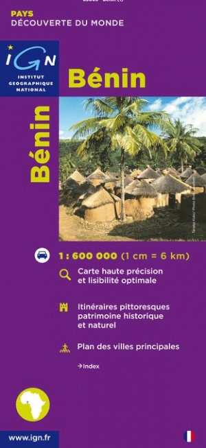
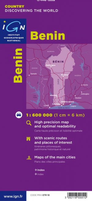
Wegenkaart - landkaart Republique du Benin | IGN - Institut Géographique National (3282118500512)
- ISBN / CODE: 3282118500512
- Schaal: 1:600000
- Uitgever: IGN - Institut Géographique National
- Soort: Wegenkaart
- Serie: Découverte du Monde
- Taal: Frans
- Beoordeling: 4,0 ★★★★★ (1 review) Schrijf een review
-
€ 11,75
Uitverkocht, nooit meer leverbaar
Beschrijving
Goede overzichtskaart van het Franse Cartografisch Instituut. Met autoroutes en stadsplattegronden van de belangrijkste steden.
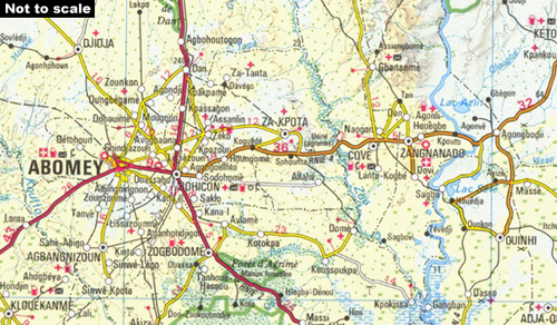
Road map of the country with insets showing street plans of Cotonou and Porto-Novo. Relief shading and 80m contour intervals provide information about the topography and different colours are used to indicate types of terrain. Roads and tracks are shown with distances in kilometres and petrol stations. National park boundaries, accommodation, and other useful features for tourists are indicated. A chart provides distances between 34 locations and another inset shows the administrative division of the country. The legend is in French only.
Reviews
Goede kaart voor snel overzicht van het hele land, de wegen en plaatsen.
★★★★★ door Ellen 5 november 2017Vond u dit een nuttige review? (login om te beoordelen)
Schrijf een review
Graag horen wij wat u van dit artikel vindt. Vindt u het goed, leuk, mooi, slecht, lelijk, onbruikbaar of erg handig: schrijf gerust alles op! Het is niet alleen leuk om te doen maar u informeert andere klanten er ook nog mee!
Ook interessant voor afrika/benin
-

Reisverhaal Afrika, meer dan zand al
€ 23,50Reisverhalen Benin -

Wegenkaart - landkaart West Afrika -
€ 11,95Wegenkaarten Benin -

Vogelgids - Natuurgids Africa Birds
€ 10,95Natuurgidsen Algerije -

Reisgids Country guide Bénin | Petit
€ 19,95Reisgidsen Benin -

Wegenkaart - landkaart Togo en Benin
€ 14,95Wegenkaarten Benin