National Geographic
Dit bekende tv-kanaal heeft naast prachtige natuurdocumontaires en magazines ook zijn eigen reisgidsen en wegenkaarten uitgegeven. De landkaarten zijn gedrukt op scheurvast en waterbestendig papier wat een vergrootte levensduur betekent. De kaarten zijn helder en bevatten een schat aan informatie voor zowel de 'gewone' toerist als de avonturier. De hoofdwegen zijn duidelijk aangegeven, maar ook de secundaire wegen en tracks staan er op. Met de nationale parken duidelijk en mooie zwemplekken of attracties aangegeven onderscheidt deze kaartenserie zich van de andere wegenkaarten. De kaarten heten dan ook niet voor niets Adventure Maps! Het avontuur wacht!
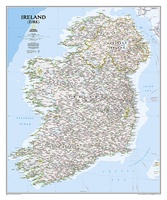 Wandkaart Ireland – Ierland, 76 x 91 cm | National Geographic
National Geographic Maps' new Ireland wall map is one of the most authoritative maps yet published of the Emerald Isle. Of the nearly 1,000 place-names shown on this map, all …
★★★★★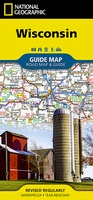 Wegenkaart - landkaart State Guide Map Wisconsin | National Geographic
Makkelijk leesbare kaart aan 2 zijden bedrukt. De ene kan met informatie en beperkte stadsplattegronden, de andere met de daadwerkelijke kaart. De kaart is geplastificeerd en dus watervast! The front …
★★★★★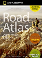 Wegenatlas Adventure Edition USA - Amerika - Canada - Mexico - Puerto Rico | A3-Formaat | Ringband | National Geographic
Duidelijk leesbare wegenatlas van de USA, Mexico, Canada, en Puerto Rico, met groot register en ook kleine plattegronden van centra van belangrijke steden. Ook met informatie over nationale parken en …
★★★★★ Reisgids National Geographic Secrets of the National Parks, 2nd Edition | National Geographic
Discover a side of America's national parks that you've never seen before with more than 500 tips and tricks for getting away from the crowds, exploring little-known hikes, and finding …
 Fotoboek America the Beautiful | National Geographic
"America the Beautiful' showcases the stunning spaces closest to our nation's heart--from the woods in the Great Appalachian Valley that Davy Crockett once called home to the breathtaking sweep of …
 Reisinspiratieboek National Geographic Atlas of Wild America | National Geographic
From the deep forests of the Canadian Northwest to the red-rock deserts of the American Southwest, North America offers a myriad of opportunities for hiking, camping, trekking, and simply enjoying …
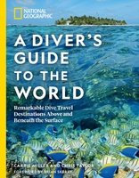 Reisgids - Duikgids National Geographic A Diver's Guide to the World | National Geographic
From Okinawa to the Outer Banks of North Carolina, find the ultimate travel itineraries for above and below water in this inspiring and comprehensive guide to the worlds 50 best …
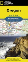 Wegenkaart - landkaart State Guide Map Oregon | National Geographic
Makkelijk leesbare kaart aan 2 zijden bedrukt. De ene kan met informatie en beperkte stadsplattegronden, de andere met de daadwerkelijke kaart. De kaart is geplastificeerd en dus watervast! The front …
★★★★★ Wegenkaart - landkaart State Guide Map Washington | National Geographic
The front side features insets of Olympia, Yakima and Spokane. The back includes a map and information for Seattle, information for Olympic, North Cascades, and Mt. Rainier National Parks, points …
★★★★★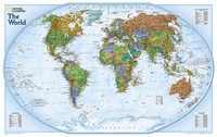 Wereldkaart World Explorer, 81 x 51 cm | National Geographic
The colorful World Explorer map is designed using the Winkel Tripel projection, which reduces the distortion of land masses near the poles. Inset charts list largest cities by population and …
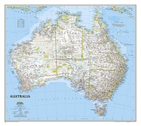 Wandkaart Australië, politiek, 77 x 69 cm | National Geographic
Highly accurate Australia political map clearly shows state boundaries, place names, bodies of water, parks and preserves, and more. Includes inset maps for Tasmania and major Australian cities. This version …
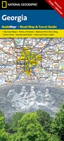 Wegenkaart - landkaart State Guide Map Georgia (USA) | National Geographic
Makkelijk leesbare kaart aan 2 zijden bedrukt. De ene kan met informatie en beperkte stadsplattegronden, de andere met de daadwerkelijke kaart. De kaart is geplastificeerd en dus watervast! The front …
★★★★★ Wegenkaart - landkaart State Guide Map North Carolina | National Geographic
Makkelijk leesbare kaart aan 2 zijden bedrukt. De ene kan met informatie en beperkte stadsplattegronden, de andere met de daadwerkelijke kaart. De kaart is geplastificeerd en dus watervast! The front …
★★★★★ Wegenatlas USA Canada Mexico Road Atlas | A4-Formaat | National Geographic
National Geographic's Road Atlas: Scenic Drives Edition, is the ideal companion for the next time you hit the road for an unforgettable road trip. Includes up-to-date road maps for all …
 Wegenkaart - landkaart State Guide Map Virginia | National Geographic
Makkelijk leesbare kaart aan 2 zijden bedrukt. De ene kan met informatie en beperkte stadsplattegronden, de andere met de daadwerkelijke kaart. De kaart is geplastificeerd en dus watervast! The front …
★★★★★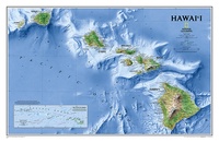 Wandkaart Hawaii, 88 x 58 cm | National Geographic
One of our most visually stunning maps, the Hawaii Physical Map shows all eight of the major islands and includes an inset of the entire chain of reefs stretching nearly …
 Stadsplattegrond New York City | National Geographic
 Reishandboek The Blue Zones of Happiness | National Geographic
New York Times best-selling author Dan Buettner reveals the surprising secrets of what makes the world's happiest places--and shows you how to apply these lessons to your own life. In …
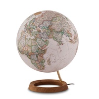 Klassieke wereldbol Neon executive ø 30 cm | Engelstalig | Met Verlichting | National Geographic★★★★★
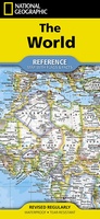 Wegenkaart - landkaart Wereld + vlaggen + info per land | National Geographic
Laatste reviews

Prachtige wandelgids voorzien van alle voor de wandelaars benodigde informatie (accommodaties, restaurants en cafés, vervoersmogelijkheden enz.). Ook is de gids beschreven in twee richtingen en …
★★★★★ door Mathie Hoenjet 27 juni 2026 | Heeft dit artikel gekocht
Zoals altijd duidelijke en overzichtelijke kaart van Michelin
★★★★★ door Charles Trippelvitz 26 juni 2026 | Heeft dit artikel gekocht
Door deze gids konden we ons heel goed voorbereiden op onze fietstocht. En het gebruik onderweg was ook prima. Jammer dat de campings onderweg wat …
★★★★★ door Helma Feenstra 26 juni 2026 | Heeft dit artikel gekocht
Kort voor vakantie naar de Galapagos eilanden toch nog behoefte aan extra reisgids. Simpel kunnen bestellen en snelle levering. Zou niet weten wat er beter …
★★★★★ door Piet Grootenboer 25 juni 2026 | Heeft dit artikel gekocht