
Wegenatlas Road Map Britain Britain Road Atlas 2027 | Ringband | A4-Formaat | AA Publishing (9780749584566)
- ISBN / CODE: 9780749584566
- Editie: 09-04-2026
- Aantal blz.: 328
- Schaal: 1:633000
- Uitgever: AA Publishing
- Soort: Wegenatlas
- Serie: Road Map Britain
- Taal: Engels
- Hoogte: 25.0 cm
- Breedte: 12.0 cm
- Gewicht: 1125.0 g
- Bindwijze: RIngband
- Uitvoering: Papier
- Schrijf als eerste een review
-
€ 23,95
Op voorraad
Op werkdagen vóór 17:00 besteld = dezelfde dag verzonden
Bezorging meestal binnen 1–2 werkdagen. Levertijd BelgieGratis verzending in Nederland vanaf €50,-
Beschrijving
Van de uitgever
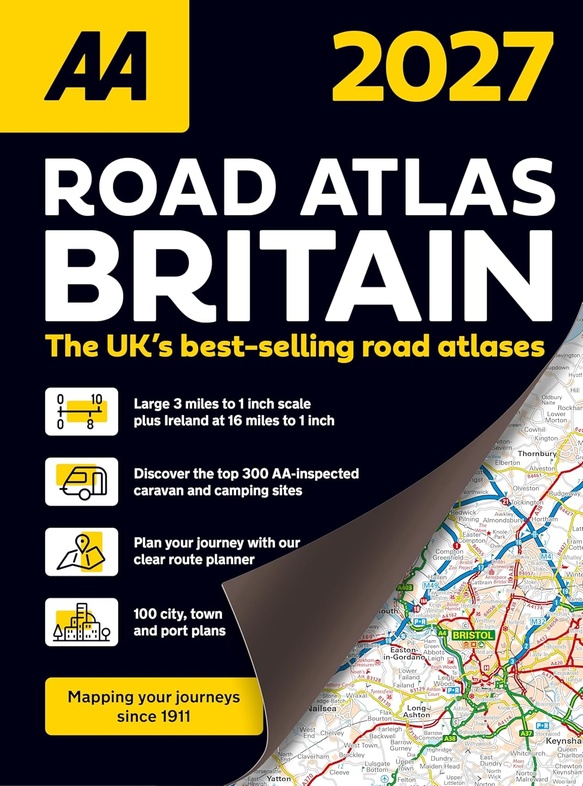
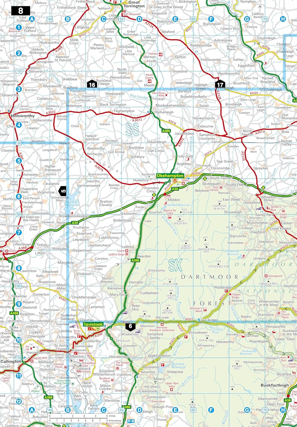
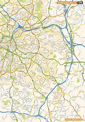
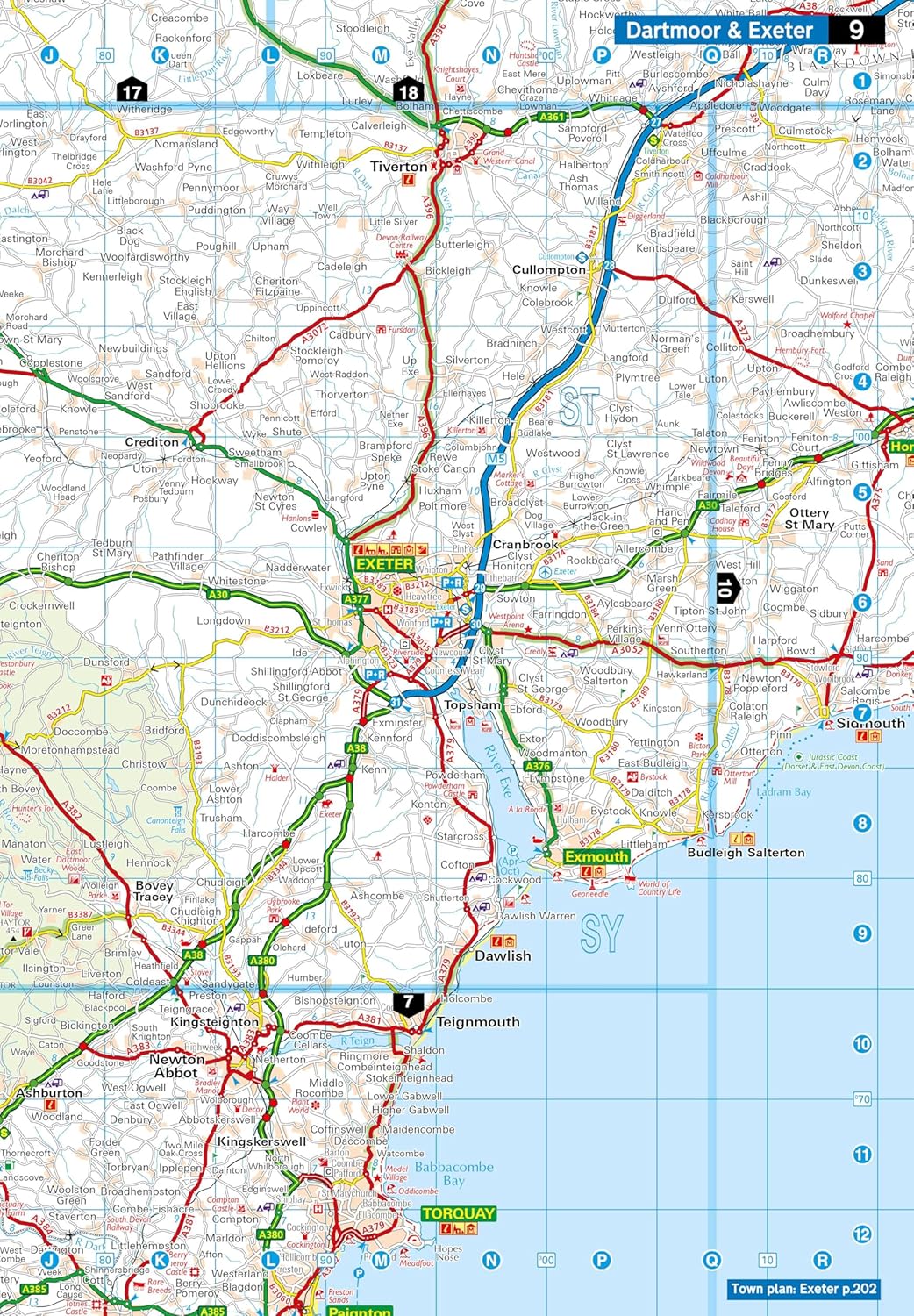
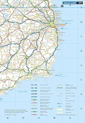
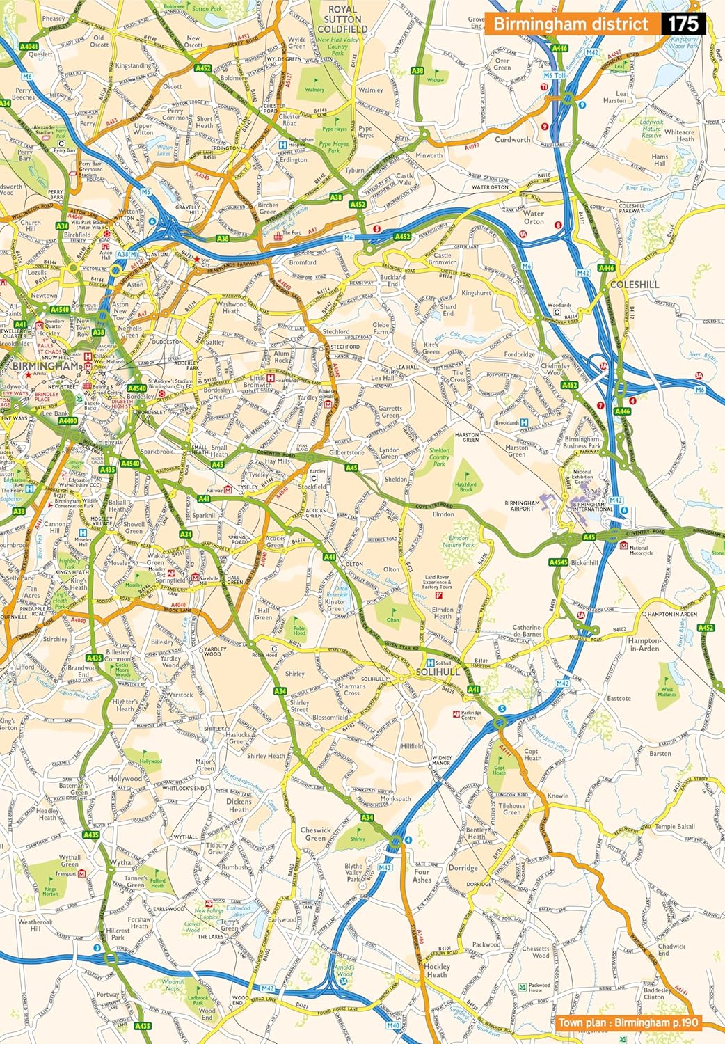
This top-selling road atlas showcases Britain’s clearest mapping from the experts at the AA. Each page has been titled with its geographical location so you can turn to the page you need more easily. Wide and narrow minor roads, National Trust, English and World Heritage sites and hard-to-find places are shown. There are 112 city, town, port and airport plans, full colour country, unitary and administrative area map and a comprehensive 31,500 entry index with airports, top tourist sites and motorway services listed. Plus, scenic routes, golf courses and caravan and camping sites symbolised on the mapping. Motorway maps, ferry planning information and 5 district maps provide the essential motoring content for travelling the country.
Reviews
Geen reviews gevonden voor dit product.
Schrijf een review
Graag horen wij wat u van dit artikel vindt. Vindt u het goed, leuk, mooi, slecht, lelijk, onbruikbaar of erg handig: schrijf gerust alles op! Het is niet alleen leuk om te doen maar u informeert andere klanten er ook nog mee!