Winkelwagen
Geen items in winkelwagen
Ga naar winkelwagen
Kaarten
De beste wegenkaarten, routekaarten, fiets- of wandelkaarten en topografische kaarten vindt u hier!
Gaat u wandelen, met de auto toeren of op andere manier de omgeving op uw vakantiebestemming verkennen? Onze tip: neem een goede kaart mee! Er zijn speciale kaarten beschikbaar voor campervakanties, fietsroutes, pelgrimsroutes, wandeltochten en veel meer. Ook wegenatlassen en wegenkaarten kunnen handig zijn onderweg.
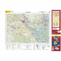 Topografische kaart 193 MT50 Astorga | CNIG - Instituto Geográfico Nacional1
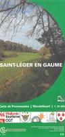 Wandelkaart 193 Saint-Léger en Gaume | NGI - Nationaal Geografisch Instituut
 Wandelkaart - Topografische kaart 193 OS Explorer Map Luton, Stevenage | Ordnance Survey
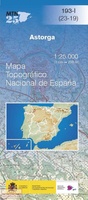 Topografische kaart 193-I Astorga | CNIG - Instituto Geográfico Nacional
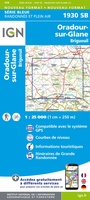 Wandelkaart - Topografische kaart 1930 SB - Serie Bleue Oradour-sur-Glane | IGN - Institut Géographique National
 Wandelkaart - Topografische kaart 1931 SB - Serie Bleue Rochechouart | IGN - Institut Géographique National
 Wandelkaart - Topografische kaart 1932 SB - Serie Bleue Châlus - St-Mathieu | IGN - Institut Géographique National
 Wandelkaart - Topografische kaart 1933 SB - Serie Bleue Thiviers, St-Pardoux-la-Rivière | IGN - Institut Géographique National
 Wandelkaart - Topografische kaart 1934 SB - Serie Bleue Excideuil - Périgueux | IGN - Institut Géographique National
 Wandelkaart - Topografische kaart 1936 SB - Serie Bleue Lalinde, le Buisson-de-Cadouin | IGN - Institut Géographique National
 Wandelkaart - Topografische kaart 1936ET Les Eyzies, St.-Cyprien, le Bugue, Beynac | IGN - Institut Géographique National★★★★★
 Wandelkaart - Topografische kaart 1937 SB - Serie Bleue Belves, Beaumont-du-Périgord | IGN - Institut Géographique National★★★★★
 Wandelkaart - Topografische kaart 1938 SB - Serie Bleue Fumel - Monflanquin | IGN - Institut Géographique National
 Wandelkaart - Topografische kaart 1939 SB - Serie Bleue Penne-d'Agenais | IGN - Institut Géographique National
 Wandelkaart 194 Südlicher Oberpfälzer Wald | Kompass
 Wandelkaart - Topografische kaart 194 OS Explorer Map Hertford, Bishop's Stortford | Ordnance Survey
 Wandelkaart - Topografische kaart 194 Landranger Dorchester & Weymouth, Cerne Abbas & Bere Regis | Ordnance Survey
 Wandelkaart - Topografische kaart 1940 SB - Serie Bleue Valence | IGN - Institut Géographique National
 Wandelkaart - Topografische kaart 1941 SB - Serie Bleue Saint-Nicolas-de-la-Grave | IGN - Institut Géographique National
 Wandelkaart - Topografische kaart 1942 SB - Serie Bleue Beaumont-de-Lomagne | IGN - Institut Géographique National
Laatste reviews

Onmisbare wandelgids voor Thuringen
De wandelingen worden uitgebreid beschreven. Soms mis je onderweg een pad omdat wegbewijzering ontbreekt waar je hem zou verwachten. Dan loop je maar weer terug …
★★★★★ door Elisabeth Hoeke 16 april 2026 | Heeft dit artikel gekocht
Uitstekend
Ik gebruik deze kaart omdat ik een reis wil volgen van meerdere personen. Heb er veel plezier van.
★★★★★ door Loes Vechtmann 15 april 2026 | Heeft dit artikel gekocht
In een woord ..... "Puur"!!
Dit boek heeft me veel inzicht gegeven hoe om te gaan met jezelf in de wildernis. Een fijn, kwetsbaar en oprecht geschreven boek met veel …
★★★★★ door Arnold Jippes 15 april 2026 | Heeft dit artikel gekocht
An excellent detailed travel guide
The DK Eyewitness travel guide for Florence & Tuscany is an excellent guide with lots of details, including helpful photographs maps and diagrams of the …
★★★★★ door Andrew Wedgner 15 april 2026 | Heeft dit artikel gekocht