Winkelwagen
Geen items in winkelwagen
Ga naar winkelwagen
Kaarten
De beste wegenkaarten, routekaarten, fiets- of wandelkaarten en topografische kaarten vindt u hier!
Gaat u wandelen, met de auto toeren of op andere manier de omgeving op uw vakantiebestemming verkennen? Onze tip: neem een goede kaart mee! Er zijn speciale kaarten beschikbaar voor campervakanties, fietsroutes, pelgrimsroutes, wandeltochten en veel meer. Ook wegenatlassen en wegenkaarten kunnen handig zijn onderweg.
 Wandelkaart - Topografische kaart 1825 SB - Serie Bleue Chatellerault - Descartes | IGN - Institut Géographique National
 Wandelkaart - Topografische kaart 1826 SB - Serie Bleue Vouneuil-sur-Vienne, Archigny, Jaunay-Clan | IGN - Institut Géographique National
 Wandelkaart - Topografische kaart 1827 SB - Serie Bleue Poitiers - Chauvigny | IGN - Institut Géographique National
 Wandelkaart - Topografische kaart 1828 SB - Serie Bleue Gençay - Persac | IGN - Institut Géographique National
 Wandelkaart - Topografische kaart 1829 SB - Serie Bleue L'Isle-Jourdain - Charroux | IGN - Institut Géographique National
 Wandelkaart - Topografische kaart 183 OS Explorer Map Chelmsford, the Rodings | Ordnance Survey
 Wandelkaart - Topografische kaart 183 Landranger Yeovil & Frome, Shaftesbury & Shepton Mallet | Ordnance Survey
 Topografische kaart 183 MT50 Andorra la Vella | CNIG - Instituto Geográfico Nacional
 Wandelkaart 183 Freising - Erding - Markt Schwaben | Kompass
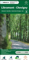 Wandelkaart 183 Libramont / Chevigny | NGI - Nationaal Geografisch Instituut
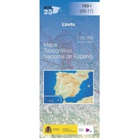 Topografische kaart 183-I Llorts | CNIG - Instituto Geográfico Nacional
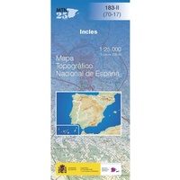 Topografische kaart 183-II Incles | CNIG - Instituto Geográfico Nacional
 Topografische kaart 183-III Andorra la Vella | CNIG - Instituto Geográfico Nacional
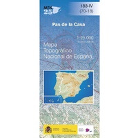 Topografische kaart 183-IV Pas de la Casa | CNIG - Instituto Geográfico Nacional
 Wandelkaart - Topografische kaart 1830 SB - Serie Bleue Confolens | IGN - Institut Géographique National
 Wandelkaart - Topografische kaart 1831 SB - Serie Bleue Rochefoucauld - Exideuil | IGN - Institut Géographique National
 Wandelkaart - Topografische kaart 1832 SB - Serie Bleue Montbron, Piégut-Pluviers | IGN - Institut Géographique National★★★★★
 Wandelkaart - Topografische kaart 1833 SB - Serie Bleue Nontron, Brantôme, Mareuil | IGN - Institut Géographique National
 Wandelkaart - Topografische kaart 1834 SB - Serie Bleue Périgueux , Tocane-Saint-Apre | IGN - Institut Géographique National
 Wandelkaart - Topografische kaart 1835 SB - Serie Bleue Villamblard, Saint-Astier, Mussidan | IGN - Institut Géographique National
Laatste reviews

Netjes opgestuurd. Duidelijke kaart.
Zie boven
★★★★★ door Peter Zuurendonk 26 januari 2026 | Heeft dit artikel gekocht
Veel informatie maar weinig kaartjes
Veel achtergrond informatie over de streek. Of de route aanduidingen voldoende zijn moeten we nog uitvinden. Waarschijnlijk is de route in het veld duidelijk aangegeven. …
★★★★★ door Rob Hensbergen 26 januari 2026 | Heeft dit artikel gekocht
Prima boek
Snelle levering, precies wat ik zocht over Oost-Turkije. Ben er heel tevreden over.
★★★★★ door Annette Verkoeijen 24 januari 2026 | Heeft dit artikel gekocht
Mooie kaart
Mooi papier, super veel details. Mooie kleuren. Lang, maar dat is het land. Heb hem opgehangen met een latten systeem. Heel tof!
★★★★★ door Jaline 21 januari 2026 | Heeft dit artikel gekocht