Winkelwagen
Geen items in winkelwagen
Ga naar winkelwagen
Kaarten
De beste wegenkaarten, routekaarten, fiets- of wandelkaarten en topografische kaarten vindt u hier!
Gaat u wandelen, met de auto toeren of op andere manier de omgeving op uw vakantiebestemming verkennen? Onze tip: neem een goede kaart mee! Er zijn speciale kaarten beschikbaar voor campervakanties, fietsroutes, pelgrimsroutes, wandeltochten en veel meer. Ook wegenatlassen en wegenkaarten kunnen handig zijn onderweg.
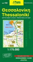 Stadsplattegrond 192 Thessaloniki | Orama
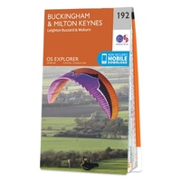 Wandelkaart - Topografische kaart 192 OS Explorer Map Buckingham, Milton Keynes | Ordnance Survey
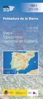 Topografische kaart 192-I Pobladura De La Sierra | CNIG - Instituto Geográfico Nacional
 Topografische kaart 192-II Santa Colomba De Somoza | CNIG - Instituto Geográfico Nacional
 Wandelkaart - Topografische kaart 1920 SB - Serie Bleue Vendome, Montoire-sur-le-Loir | IGN - Institut Géographique National
 Wandelkaart - Topografische kaart 1921 SB - Serie Bleue Château-Renault, St-Amand-Longpré | IGN - Institut Géographique National
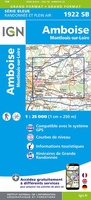 Wandelkaart - Topografische kaart 1922 SB - Serie Bleue Amboise, Montlouis-sur-Loire | IGN - Institut Géographique National
 Wandelkaart - Topografische kaart 1923 SB - Serie Bleue Bléré - Chenonceaux - Veigné | IGN - Institut Géographique National
 Wandelkaart - Topografische kaart 1924 SB - Serie Bleue Loches - Ligueil | IGN - Institut Géographique National
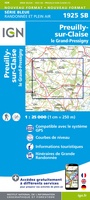 Wandelkaart - Topografische kaart 1925 SB - Serie Bleue Preuilly-sur-Claise, le Grand-Pressigny | IGN - Institut Géographique National
 Wandelkaart - Topografische kaart 1926 SB - Serie Bleue Le Blanc, Pleumartin, La Roche-Posay | IGN - Institut Géographique National
 Wandelkaart - Topografische kaart 1927 SB - Serie Bleue La Trimouille | IGN - Institut Géographique National
 Wandelkaart - Topografische kaart 1928 SB - Serie Bleue Montmorillon, Lathus-St-Rémy | IGN - Institut Géographique National
 Wandelkaart - Topografische kaart 1929 SB - Serie Bleue Bellac - Adriers | IGN - Institut Géographique National
 Wandelkaart - Topografische kaart 193 OS Explorer Map Luton, Stevenage | Ordnance Survey
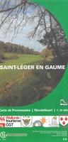 Wandelkaart 193 Saint-Léger en Gaume | NGI - Nationaal Geografisch Instituut
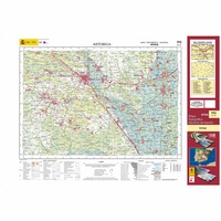 Topografische kaart 193 MT50 Astorga | CNIG - Instituto Geográfico Nacional1
 Wandelkaart - Topografische kaart 193 Landranger Taunton & Lyme Regis, Chard & Bridport | Ordnance Survey
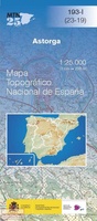 Topografische kaart 193-I Astorga | CNIG - Instituto Geográfico Nacional
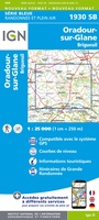 Wandelkaart - Topografische kaart 1930 SB - Serie Bleue Oradour-sur-Glane | IGN - Institut Géographique National
Laatste reviews

Perfect geregeld.
Michelin Camping gids Frankrijk 2026: Per omgaande, netjes verpakt geleverd.
★★★★★ door Cor 27 april 2026 | Heeft dit artikel gekocht
Leuk informatief boekje
Het boekje geeft een goede indruk van de Mullerthal Trail met wat feitelijke info, heel handig, en vooral ook een mooi sfeerbeeld.
★★★★★ door Odette 27 april 2026 | Heeft dit artikel gekocht
Prima wandelkaart
De routes zijn zo goed bewegwijzerd, dat je bijna geen kaart nodig hebt. Wij hebben hem vooral gebruikt om per dag te bekijken wat we …
★★★★★ door Odette 27 april 2026 | Heeft dit artikel gekocht
Kwalitatieve topkaart
Heldere gedetailleerde kaart, onmisbaar voor tochtplanning, waterafstotend
★★★★★ door Walter 24 april 2026 | Heeft dit artikel gekocht