Winkelwagen
Geen items in winkelwagen
Ga naar winkelwagen
Kaarten
De beste wegenkaarten, routekaarten, fiets- of wandelkaarten en topografische kaarten vindt u hier!
Gaat u wandelen, met de auto toeren of op andere manier de omgeving op uw vakantiebestemming verkennen? Onze tip: neem een goede kaart mee! Er zijn speciale kaarten beschikbaar voor campervakanties, fietsroutes, pelgrimsroutes, wandeltochten en veel meer. Ook wegenatlassen en wegenkaarten kunnen handig zijn onderweg.
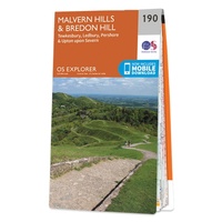 Wandelkaart - Topografische kaart 190 OS Explorer Map Malvern Hills, Bredon Hill | Ordnance Survey
 Topografische kaart - Wandelkaart 1909OT St-Valery-en-Caux | IGN - Institut Géographique National★★★★★★★★★★
 Wandelkaart - Topografische kaart 191 OS Explorer Map Banbury, Bicester, Chipping Norton | Ordnance Survey
 Wandelkaart 191 Fichtelgebirge | Kompass
 Wandelkaart 191 Hermannsweg | Publicpress★★★★★★★★★★
 Wandelkaart - Topografische kaart 1910 SB - Serie Bleue Yvetot | IGN - Institut Géographique National
 Wandelkaart - Topografische kaart 1911ET Rouen, Forets Rouennaises, PNR | IGN - Institut Géographique National
 Wandelkaart - Topografische kaart 1911OT Forets De Brotonne | IGN - Institut Géographique National
 Topografische kaart - Wandelkaart 1912 SB - Serie Bleue Elbeuf | IGN - Institut Géographique National
 Wandelkaart - Topografische kaart 1913 SB - Serie Bleue Evreux - Conches-en-Ouche | IGN - Institut Géographique National
 Wandelkaart - Topografische kaart 1914 SB - Serie Bleue Breteuil – La Neuve-Lyre | IGN - Institut Géographique National
 Wandelkaart - Topografische kaart 1915 SB - Serie Bleue Verneuil-sur-Avre, Bourth | IGN - Institut Géographique National
 Wandelkaart - Topografische kaart 1916 SB - Serie Bleue La Loupe - Rémalard | IGN - Institut Géographique National
 Wandelkaart - Topografische kaart 1917 SB - Serie Bleue Nogent-le-Rotrou, Thiron-Gardais | IGN - Institut Géographique National
 Wandelkaart - Topografische kaart 1918 SB - Serie Bleue Authon-du-Perche, La Bazoche-Gouet | IGN - Institut Géographique National
 Wandelkaart - Topografische kaart 1919 SB - Serie Bleue St-Calais - Droué | IGN - Institut Géographique National
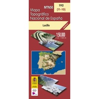 Topografische kaart 192 MT50 Lucillo | CNIG - Instituto Geográfico Nacional
 Fietskaart 192 Ostseeküsten-Radweg 1 | Publicpress
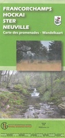 Wandelkaart 192 Francorchamps, Hockai, Ster, Neuville | NGI - Nationaal Geografisch Instituut★★★★★
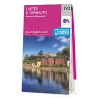 Wandelkaart - Topografische kaart 192 Landranger Exeter & Sidmouth, Exmouth & Teignmouth | Ordnance Survey
Laatste reviews

Perfect geregeld.
Michelin Camping gids Frankrijk 2026: Per omgaande, netjes verpakt geleverd.
★★★★★ door Cor 27 april 2026 | Heeft dit artikel gekocht
Leuk informatief boekje
Het boekje geeft een goede indruk van de Mullerthal Trail met wat feitelijke info, heel handig, en vooral ook een mooi sfeerbeeld.
★★★★★ door Odette 27 april 2026 | Heeft dit artikel gekocht
Prima wandelkaart
De routes zijn zo goed bewegwijzerd, dat je bijna geen kaart nodig hebt. Wij hebben hem vooral gebruikt om per dag te bekijken wat we …
★★★★★ door Odette 27 april 2026 | Heeft dit artikel gekocht
Kwalitatieve topkaart
Heldere gedetailleerde kaart, onmisbaar voor tochtplanning, waterafstotend
★★★★★ door Walter 24 april 2026 | Heeft dit artikel gekocht