Winkelwagen
Geen items in winkelwagen
Ga naar winkelwagen
Kaarten
De beste wegenkaarten, routekaarten, fiets- of wandelkaarten en topografische kaarten vindt u hier!
Gaat u wandelen, met de auto toeren of op andere manier de omgeving op uw vakantiebestemming verkennen? Onze tip: neem een goede kaart mee! Er zijn speciale kaarten beschikbaar voor campervakanties, fietsroutes, pelgrimsroutes, wandeltochten en veel meer. Ook wegenatlassen en wegenkaarten kunnen handig zijn onderweg.
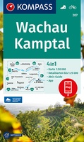 Wandelkaart 207 Wachau - Kamptal | Kompass
 Wandelkaart 207 `Bertrix | NGI - Nationaal Geografisch Instituut
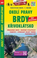 Fietskaart 207 Okolí Prahy, Brdy, Křivoklátsko | Shocart
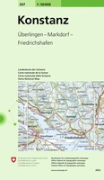 Wandelkaart - Topografische kaart 207 Konstanz | Swisstopo
 Wandelkaart - Topografische kaart 207 OS Explorer Map Newport Pagnell, Northampton South | Ordnance Survey
 Wegenkaart - landkaart Muntii Szigethegyseg – Apuseni | Dimap
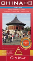 Wegenkaart - landkaart China | Gizi Map
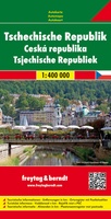 Wegenkaart - landkaart Tsjechische Republiek - Tsjechië | Freytag & Berndt★★★★★
 Wegenkaart - landkaart - Wandelkaart Vaticaan stad | Gizi Map
 Wegenkaart - landkaart Togo en Benin | ITMB
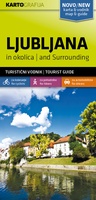 Wandelkaart - Fietskaart Ljubljana and surrounding | Kartografija★★★★★★★★★★
 Wegenkaart - landkaart San Francisco - Northern California (Californië) | ITMB★★★★★
 Wegenkaart - landkaart Egypte | Freytag & Berndt
 Wegenkaart - landkaart - Stadsplattegrond Kyoto & Japan West | ITMB
 Wegenkaart - landkaart Cyprus - Zypern | Freytag & Berndt★★★★★★★★★★
 Wandelkaart - Fietskaart Gorenjska | Kartografija★★★★★
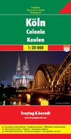 Stadsplattegrond Keulen - Köln | Freytag & Berndt★★★★★
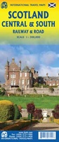 Spoorwegenkaart Schotland - Scotland Central and South Rail and Road | ITMB★★★★★
 Stadsplattegrond Wenen - Wien | Hallwag★★★★★
 Stadsplattegrond Gdansk | Cartomedia★★★★★
Laatste reviews

Onmisbaar
Deze kaart is onmisbaar bij het wandelen in de Eifel, we lopen jaarlijks de Hermannsweg met een vergelijkbare kaart en we kunnen echt niet zonder, …
★★★★★ door R. van den Driesche 01 juli 2026 | Heeft dit artikel gekocht
Prima kaart doe vlot is geleverd.
Ideale kaart om als toerist door Jutland te trekken. Prettige schaal.
★★★★★ door Irma van Hof 01 juli 2026 | Heeft dit artikel gekocht
Prima wandelgidsen
Kompassboekjes zijn prima gidsen. Dat wordt een leuke vakantie.
★★★★★ door Anna 01 juli 2026 | Heeft dit artikel gekocht
Handig formaat en gedetailleerd
Perfecte wegenatlas en door het A4 formaat handiger dan een uitvouwbare kaart. Fijne combinatie van de wegenatlas en het navigatiesysteem van google maps
★★★★★ door Hay van Emden 30 juni 2026 | Heeft dit artikel gekocht