Winkelwagen
Geen items in winkelwagen
Ga naar winkelwagen
Kaarten
De beste wegenkaarten, routekaarten, fiets- of wandelkaarten en topografische kaarten vindt u hier!
Gaat u wandelen, met de auto toeren of op andere manier de omgeving op uw vakantiebestemming verkennen? Onze tip: neem een goede kaart mee! Er zijn speciale kaarten beschikbaar voor campervakanties, fietsroutes, pelgrimsroutes, wandeltochten en veel meer. Ook wegenatlassen en wegenkaarten kunnen handig zijn onderweg.
 Wandelkaart - Topografische kaart 2911 SB - Serie Bleue Attigny | IGN - Institut Géographique National
 Wandelkaart - Topografische kaart 2913 SB - Serie Bleue Châlons-en-Champagne | IGN - Institut Géographique National
 Wandelkaart - Topografische kaart 2914 SB - Serie Bleue Marson, Châlons-en-Champagne | IGN - Institut Géographique National
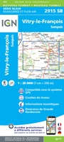 Wandelkaart - Topografische kaart 2915 SB - Serie Bleue Vitry-le-François, Sompuis | IGN - Institut Géographique National
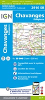 Wandelkaart - Topografische kaart 2916 SB - Serie Bleue Chavanges, Dampierre | IGN - Institut Géographique National
 Wandelkaart - Topografische kaart 2917 SB - Serie Bleue Brienne-le-Chateau, Piney, Lacs de la Foret d'Orient | IGN - Institut Géographique National
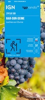 Wandelkaart 2918 SB - Serie Bleue Bar-sur-Seine / Loches-sur-Ource | IGN - Institut Géographique National
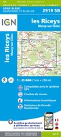 Topografische kaart - Wandelkaart 2919 SB - Serie Bleue les Riceys | IGN - Institut Géographique National
 Wandelkaart 254 Fuerteventura | Kompass★★★★★★★★★★
 Wandelkaart - Topografische kaart 254 Interlaken | Swisstopo★★★★★
 Wandelkaart 254 Landeck - Reschenpass - Paznaun - Samnaungruppe | Freytag & Berndt
 Wandelkaart - Topografische kaart 254 Chilkoot Trail | National Geographic
 Topografische kaart 254 MT50 Gósol | CNIG - Instituto Geográfico Nacional1
 Wandelkaart - Topografische kaart 254 OS Explorer Map Lleyn Peninsula East | Ordnance Survey
 Wandelkaart 2540 SB - Serie Bleue St-Beauzély / Aguessac / Gorges du Tarn | IGN - Institut Géographique National
 Wandelkaart 2541 Turkart Frafjord | Nordeca
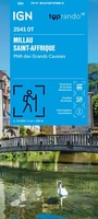 Wandelkaart 2541OT Millau / St-Affrique / PNR Grands Causses | IGN - Institut Géographique National
 Wandelkaart - Topografische kaart 2542OT Camarès - Avène | IGN - Institut Géographique National
 Wandelkaart 2543 Turkart Sirdalsheaine | Nordeca
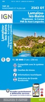 Wandelkaart - Topografische kaart 2543OT Lamalou-les-Bains, Olargues, Roquebrun, Le Caroux, PNR du Haut Languedoc | IGN - Institut Géographique National★★★★★
Laatste reviews

Praktische en leuke natuur-en vogelgids
Ik ben erg tevreden over deze praktische en leuke natuur- en vogelgids. Perfect om mee te nemen op een backpackreis. Geplastificeerd en kan tegen een …
★★★★★ door Janneke 08 juni 2026 | Heeft dit artikel gekocht
goed bruikbaar, met iets vocht (regen) ook.
Met het reizen per motor zijn de meeste kaarten lastig, scheuren of pap door vocht. Deze kaart kan het allemaal
★★★★★ door p breebaart 08 juni 2026 | Heeft dit artikel gekocht
Mooie fiets en wandelkaart
Veel detail, heel geschikt voor wandelen en fietsen
★★★★★ door Roland Heijman 06 juni 2026 | Heeft dit artikel gekocht
Mooie kaart
Veel detail, heel geschikt voor wandelen en fietsen
★★★★★ door Roland Heijman 06 juni 2026 | Heeft dit artikel gekocht