Winkelwagen
Geen items in winkelwagen
Ga naar winkelwagen
Topografische kaarten - Alpen - Vaucluse - Drome - Vercors
Overzichtskaarten
-
Topografische kaarten IGN 25.000 Franse Alpen: Vercors - Drome - Vaucluse
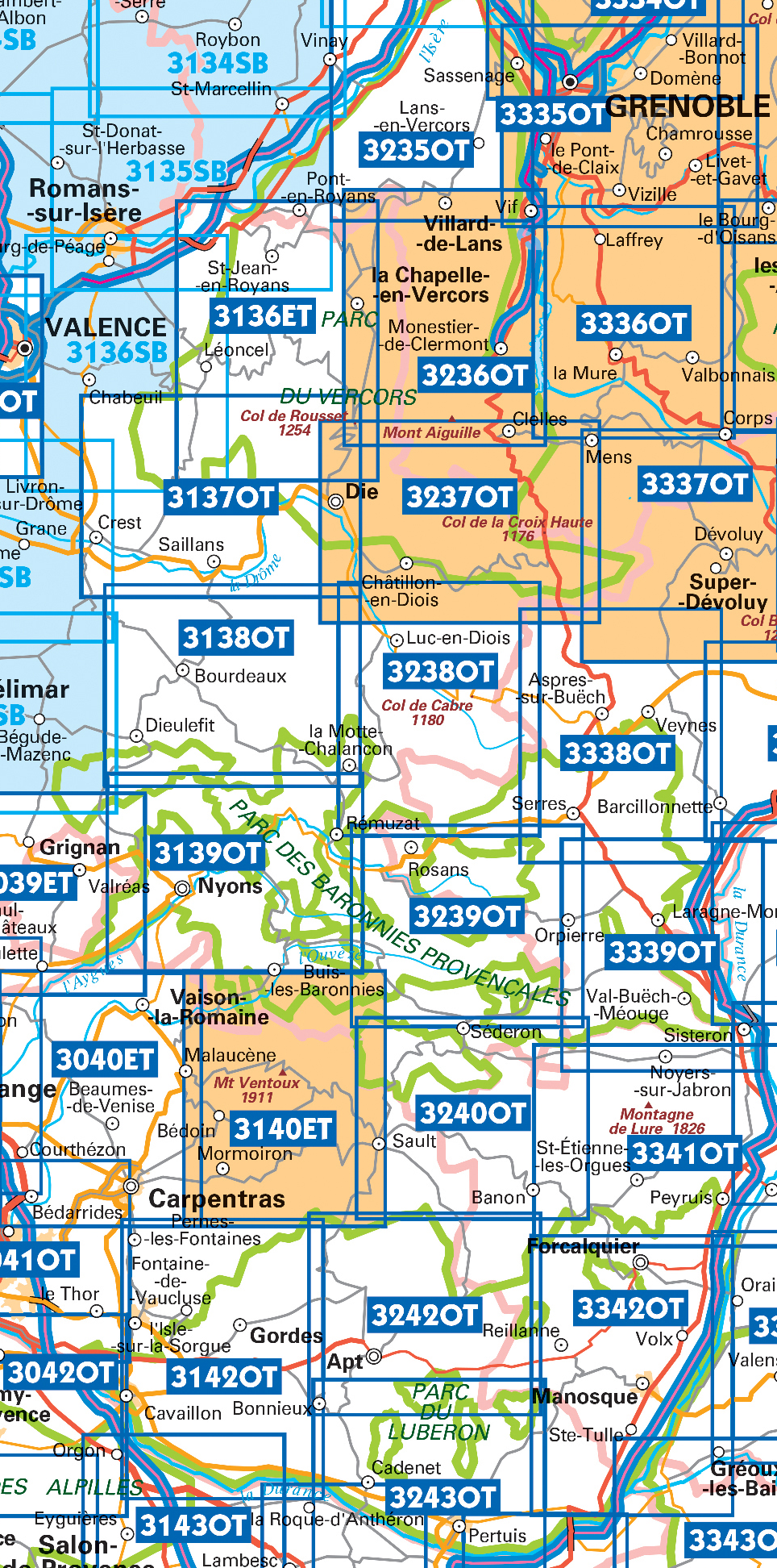
Producten op deze overzichtskaart:
Klik op een product om naar de pagina van dat product te gaan.
- Wandelkaart - Topografische kaart 3037SB Crest – La Voulte-sur-Rhône | IGN - Institut Géographique National
- Wandelkaart - Topografische kaart 3038SB Montélimar | IGN - Institut Géographique National
- Wandelkaart - Topografische kaart 3039ET Valréas | IGN - Institut Géographique National
- Wandelkaart - Topografische kaart 3040ET Carpentras | IGN - Institut Géographique National
- Wandelkaart - Topografische kaart 3040OT Orange | IGN - Institut Géographique National
- Wandelkaart - Topografische kaart 3041OT Avignon | IGN - Institut Géographique National
- Wandelkaart - Topografische kaart 3136ET Combe Laval | IGN - Institut Géographique National
- Wandelkaart - Topografische kaart 3136SB Bourg-de-Péage – Chabeuil | IGN - Institut Géographique National
- Wandelkaart - Topografische kaart 3137OT Die – Crest – Saillans | IGN - Institut Géographique National
- Wandelkaart - Topografische kaart 3138OT Dieulefit | IGN - Institut Géographique National
- Wandelkaart - Topografische kaart 3139OT Nyons - Rémuzat | IGN - Institut Géographique National
- Wandelkaart - Topografische kaart 3140ET Mont Ventoux | IGN - Institut Géographique National
- Wandelkaart - Topografische kaart 3140ETR Mont Ventoux | IGN - Institut Géographique National
- Wandelkaart - Topografische kaart 3142OT Cavaillon | IGN - Institut Géographique National
- Wandelkaart - Topografische kaart 3235OT Autrans | IGN - Institut Géographique National
- Wandelkaart 3236OT Villard-de-Lans | IGN - Institut Géographique National
- Wandelkaart - Topografische kaart 3237OT Glandasse | IGN - Institut Géographique National
- Wandelkaart - Topografische kaart 3238OT Luc-en-Diois | IGN - Institut Géographique National
- Wandelkaart - Topografische kaart 3239OT Rosans - Orpierre | IGN - Institut Géographique National
- Wandelkaart - Topografische kaart 3240OT Banon - Sault | IGN - Institut Géographique National
- Wandelkaart - Topografische kaart 3242OT Apt | IGN - Institut Géographique National
- Wandelkaart - Topografische kaart 3243OT Pertuis - Lourmarin | IGN - Institut Géographique National
- Wandelkaart - Topografische kaart 3338OT Serres - Veynes | IGN - Institut Géographique National
- Wandelkaart - Topografische kaart 3339OT Sisteron | IGN - Institut Géographique National
- Wandelkaart - Topografische kaart 3341OT Montagne de Lure | IGN - Institut Géographique National
- Wandelkaart - Topografische kaart 3342OT Manosque - Forcalquier | IGN - Institut Géographique National
 Wandelkaart - Topografische kaart 3037SB Crest – La Voulte-sur-Rhône | IGN - Institut Géographique National
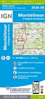 Wandelkaart - Topografische kaart 3038SB Montélimar | IGN - Institut Géographique National
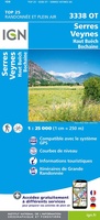 Wandelkaart - Topografische kaart 3338OT Serres - Veynes | IGN - Institut Géographique National
 Wandelkaart - Topografische kaart 3339OT Sisteron | IGN - Institut Géographique National★★★★★
 Wandelkaart - Topografische kaart 3243OT Pertuis - Lourmarin | IGN - Institut Géographique National★★★★★
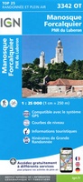 Wandelkaart - Topografische kaart 3342OT Manosque - Forcalquier | IGN - Institut Géographique National
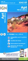 Wandelkaart - Topografische kaart 3242OT Apt | IGN - Institut Géographique National
 Wandelkaart - Topografische kaart 3142OT Cavaillon | IGN - Institut Géographique National
 Wandelkaart - Topografische kaart 3041OT Avignon | IGN - Institut Géographique National
 Wandelkaart - Topografische kaart 3040OT Orange | IGN - Institut Géographique National
 Wandelkaart - Topografische kaart 3040ET Carpentras | IGN - Institut Géographique National
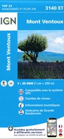 Wandelkaart - Topografische kaart 3140ET Mont Ventoux | IGN - Institut Géographique National★★★★★★★★★★
 Wandelkaart - Topografische kaart 3240OT Banon - Sault | IGN - Institut Géographique National★★★★★
 Wandelkaart - Topografische kaart 3341OT Montagne de Lure | IGN - Institut Géographique National
 Wandelkaart - Topografische kaart 3039ET Valréas | IGN - Institut Géographique National
 Wandelkaart - Topografische kaart 3139OT Nyons - Rémuzat | IGN - Institut Géographique National★★★★★
 Wandelkaart - Topografische kaart 3239OT Rosans - Orpierre | IGN - Institut Géographique National★★★★★
 Wandelkaart - Topografische kaart 3138OT Dieulefit | IGN - Institut Géographique National★★★★★
 Wandelkaart - Topografische kaart 3238OT Luc-en-Diois | IGN - Institut Géographique National★★★★★★★★★★
 Wandelkaart - Topografische kaart 3137OT Die – Crest – Saillans | IGN - Institut Géographique National★★★★★
Laatste reviews

Snel geleverd
Veel kaarten op stock en gemakkelijk te bestellen. Snel geleverd
★★★★★ door Rob 29 april 2024 | Heeft dit artikel gekocht
Snelle service, duidelijke landkaart
We hebben een landkaart van Albanië besteld. Deze hebben we in goede staat ontvangen
★★★★★ door Ida van der Heiden 26 april 2024 | Heeft dit artikel gekocht
Precies goed
Zoals gewend van de Alpverein weer een mooie en duidelijke kaart voor dit mooie wandelgebied incl. hutten.
★★★★★ door B van R 26 april 2024 | Heeft dit artikel gekocht
Duidelijk en stevig
Duidelijke en mooie kaart van het gebied. Oogt stevig/dik waardoor niet snel kapot tijdens wandelingen. Sommige tekens zijn wel wat aan de kleine kant waardoor …
★★★★★ door B van R 26 april 2024 | Heeft dit artikel gekocht