Winkelwagen
Geen items in winkelwagen
Ga naar winkelwagen
Topografische kaarten - Cevennen
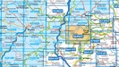
Overzichtskaarten
-
Topografische kaarten IGN 25.000 Cevennen
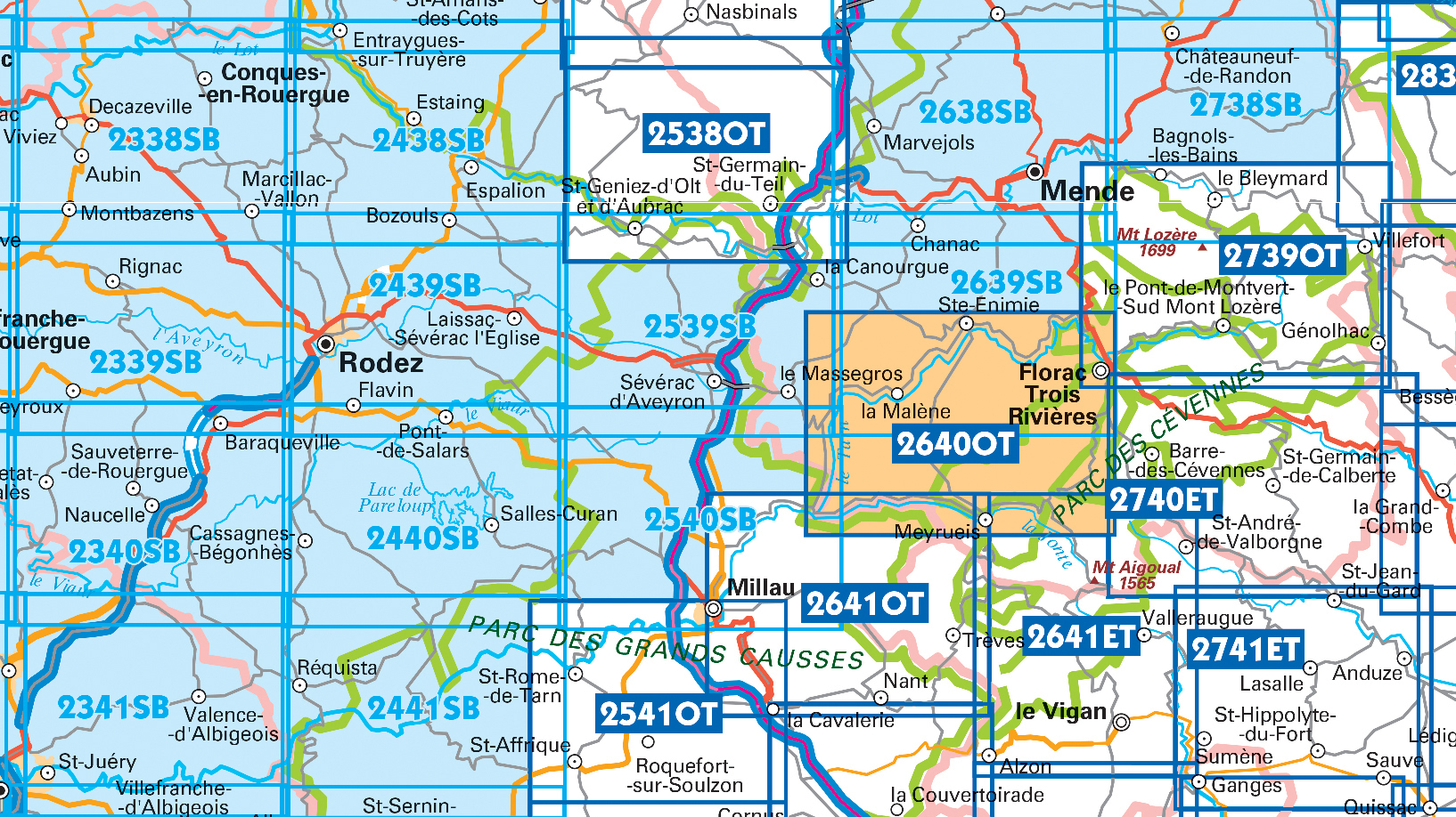
Producten op deze overzichtskaart:
Klik op een product om naar de pagina van dat product te gaan.
- Wandelkaart - Topografische kaart 2241SB Albi, Cordes-sur-Ciel | IGN - Institut Géographique National
- Wandelkaart - Topografische kaart 2338SB Decazeville | IGN - Institut Géographique National
- Wandelkaart - Topografische kaart 2339SB Rieupeyroux - Moyrazes | IGN - Institut Géographique National
- Wandelkaart - Topografische kaart 2340SB Naucelle, La Salvetat, Peyrales | IGN - Institut Géographique National
- Wandelkaart - Topografische kaart 2341SB Carmaux, Valence-d'Albigeoi | IGN - Institut Géographique National
- Wandelkaart - Topografische kaart 2438SB Espalion - Estaing | IGN - Institut Géographique National
- Wandelkaart - Topografische kaart 2439SB Rodez - Laissac | IGN - Institut Géographique National
- Wandelkaart - Topografische kaart 2440SB Salles-Curan, Lac de Pareloup, Cassagnes, Begonhes | IGN - Institut Géographique National
- Wandelkaart - Topografische kaart 2441SB Réquista, Villefranche-de-Panat | IGN - Institut Géographique National
- Wandelkaart - Topografische kaart 2538OT Ste-Eulalie-d'Olt - Hte Vallée du Lot - Mt d'Aubrac | IGN - Institut Géographique National
- Wandelkaart - Topografische kaart 2539SB Sévérac-le-Château, Lapanouse | IGN - Institut Géographique National
- Wandelkaart - Topografische kaart 2540SB St-Beauzély, Aguessac, Gorges-du-Tarn | IGN - Institut Géographique National
- Wandelkaart - Topografische kaart 2541OT Millau, St-Affrique - PNR Grands Causses | IGN - Institut Géographique National
- Wandelkaart - Topografische kaart 2638SB Mende | IGN - Institut Géographique National
- Wandelkaart - Topografische kaart 2639SB Florac | IGN - Institut Géographique National
- Wandelkaart - Topografische kaart 2640OT Gorges du Tarn et de la Jonte | IGN - Institut Géographique National
- Wandelkaart - Topografische kaart 2641ET Mont Aigoual | IGN - Institut Géographique National
- Wandelkaart - Topografische kaart 2641OT Millau | IGN - Institut Géographique National
- Wandelkaart - Topografische kaart 2738SB Le Bleymard | IGN - Institut Géographique National
- Wandelkaart - Topografische kaart 2739OT Mont Lozère - Florac | IGN - Institut Géographique National
- Wandelkaart - Topografische kaart 2740ET Corniche des Cevennes | IGN - Institut Géographique National
- Wandelkaart - Topografische kaart 2741ET Saint-Hippolyte-du-Fort | IGN - Institut Géographique National
 Wandelkaart - Topografische kaart 2440SB Salles-Curan, Lac de Pareloup, Cassagnes, Begonhes | IGN - Institut Géographique National
 Wandelkaart - Topografische kaart 2441SB Réquista, Villefranche-de-Panat | IGN - Institut Géographique National★★★★★
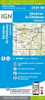 Wandelkaart - Topografische kaart 2539SB Sévérac-le-Château, Lapanouse | IGN - Institut Géographique National
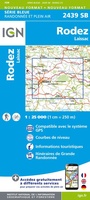 Wandelkaart - Topografische kaart 2439SB Rodez - Laissac | IGN - Institut Géographique National
 Wandelkaart - Topografische kaart 2338SB Decazeville | IGN - Institut Géographique National
 Wandelkaart - Topografische kaart 2339SB Rieupeyroux - Moyrazes | IGN - Institut Géographique National
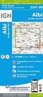 Wandelkaart - Topografische kaart 2241SB Albi, Cordes-sur-Ciel | IGN - Institut Géographique National★★★★★
 Wandelkaart - Topografische kaart 2739OT Mont Lozère - Florac | IGN - Institut Géographique National★★★★★
 Wandelkaart - Topografische kaart 2641OT Millau | IGN - Institut Géographique National★★★★★
 Wandelkaart - Topografische kaart 2741ET Saint-Hippolyte-du-Fort | IGN - Institut Géographique National
 Wandelkaart - Topografische kaart 2740ET Corniche des Cevennes | IGN - Institut Géographique National
 Wandelkaart - Topografische kaart 2641ET Mont Aigoual | IGN - Institut Géographique National
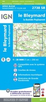 Wandelkaart - Topografische kaart 2738SB Le Bleymard | IGN - Institut Géographique National
 Wandelkaart - Topografische kaart 2642ET St.-Guilhem-le-Desert | IGN - Institut Géographique National
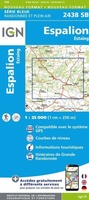 Wandelkaart - Topografische kaart 2438SB Espalion - Estaing | IGN - Institut Géographique National
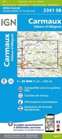 Wandelkaart - Topografische kaart 2341SB Carmaux, Valence-d'Albigeoi | IGN - Institut Géographique National
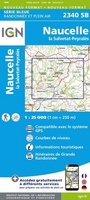 Wandelkaart - Topografische kaart 2340SB Naucelle, La Salvetat, Peyrales | IGN - Institut Géographique National
 Wandelkaart - Topografische kaart 2640OT Gorges du Tarn et de la Jonte | IGN - Institut Géographique National★★★★★
 Wandelkaart - Topografische kaart 2541OT Millau, St-Affrique - PNR Grands Causses | IGN - Institut Géographique National
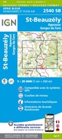 Wandelkaart - Topografische kaart 2540SB St-Beauzély, Aguessac, Gorges-du-Tarn | IGN - Institut Géographique National
Laatste reviews

Zeer informatief en nuttig
Het boekje geeft veel (achtergrond)informatie over de route zelf en over de plaatsen waar je langs komt. Daarnaast is de route bewegwijzerd en dat is …
★★★★★ door Irma 18 april 2024 | Heeft dit artikel gekocht
Heel veel informatie in een mooi compact boekje.
Boekje was niet meer voorradig, door de inzet van een medewerker toch nog via via een boekje kunnen krijgen. Ik vind dit een hele bijzondere …
★★★★★ door Thea de Weerd 17 april 2024 | Heeft dit artikel gekocht
De ACSI gidsen zijn geweldig.
Gebruik al jaren de ACSI gidsen. Zijn geweldig. En dan ook nog de korting in voor- en naseizoen. Prima.
★★★★★ door Loes Nagelhout-ram 17 april 2024 | Heeft dit artikel gekocht
Leuk doosje
Heel lief doosje, wij hebben hem gebruikt voor een kadopakketje te maken, met een hotelbon erbij.
★★★★★ door H vd berge 17 april 2024 | Heeft dit artikel gekocht