Winkelwagen
Geen items in winkelwagen
Ga naar winkelwagen
Topografische kaarten - Languedoc - Rousillon
Overzichtskaarten
-
Topografische kaarten IGN 25.000 Languedoc -Rousillon
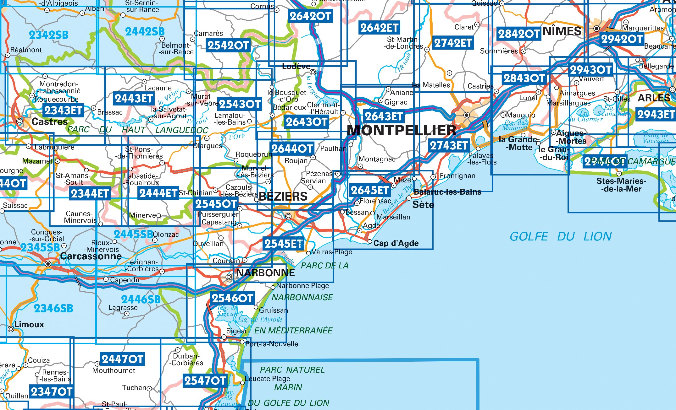
Producten op deze overzichtskaart:
Klik op een product om naar de pagina van dat product te gaan.
- Wandelkaart - Topografische kaart 2243SB Puylaurens, Lautrec | IGN - Institut Géographique National
- Wandelkaart - Topografische kaart 2342SB Réalmont - Alban | IGN - Institut Géographique National
- Wandelkaart - Topografische kaart 2343ET Castres, Sidobre, Brassac, Vebre, PNR du Haut Languedoc | IGN - Institut Géographique National
- Wandelkaart - Topografische kaart 2344ET Montagne Noire est | IGN - Institut Géographique National
- Wandelkaart - Topografische kaart 2344OT Montagne Noire (ouest) - Revel - Labrugiere - PNR du Haut Languedoc | IGN - Institut Géographique National
- Wandelkaart - Topografische kaart 2345SB Carcassonne - Alzonne | IGN - Institut Géographique National
- Wandelkaart - Topografische kaart 2346SB Cazilhac - Limoux | IGN - Institut Géographique National
- Wandelkaart - Topografische kaart 2442SB Belmont-sur-Rance, St-Sernin-sur-Rance | IGN - Institut Géographique National
- Wandelkaart - Topografische kaart 2443ET Monts de Lacaune, La Salvetat - sur - Agout, PNR du Haut Languedoc | IGN - Institut Géographique National
- Wandelkaart - Topografische kaart 2444ET Somail - Minervois | IGN - Institut Géographique National
- Wandelkaart - Topografische kaart 2445SB Lézignan - Corbieres, Rieux-Minervois | IGN - Institut Géographique National
- Wandelkaart - Topografische kaart 2446SB Ferrals-les-Corbières, Capendu | IGN - Institut Géographique National
- Wandelkaart - Topografische kaart 2542OT Camarès - Avène | IGN - Institut Géographique National
- Wandelkaart - Topografische kaart 2543OT Lamalou-les-Bains, Olargues, Roquebrun, Le Caroux, PNR du Haut Languedoc | IGN - Institut Géographique National
- Wandelkaart - Topografische kaart 2545OT St-Chinian - L'etang de Montady | IGN - Institut Géographique National
- Wandelkaart - Topografische kaart 2546OT Narbonne | IGN - Institut Géographique National
- Wandelkaart - Topografische kaart 2547OT Durban, Corbieres, Leucate, Plages du Roussillon | IGN - Institut Géographique National
- Wandelkaart - Topografische kaart 2642ET St.-Guilhem-le-Desert | IGN - Institut Géographique National
- Wandelkaart - Topografische kaart 2642OT Le Caylar - La Couvertoirade | IGN - Institut Géographique National
- Wandelkaart - Topografische kaart 2643ET Clermont-l'Hérault | IGN - Institut Géographique National
- Wandelkaart - Topografische kaart 2644OT Pézenas - Murviel-lès-Béziers | IGN - Institut Géographique National
- Wandelkaart - Topografische kaart 2645ET Cap d'Agde - Sète - Etang de Thau | IGN - Institut Géographique National
- Wandelkaart - Topografische kaart 2742ET St.-Martin-de-Londres, Ganges | IGN - Institut Géographique National
- Wandelkaart - Topografische kaart 2743ET Montpellier | IGN - Institut Géographique National
- Wandelkaart - Topografische kaart 2842OT Sommières, Vergèze | IGN - Institut Géographique National
- Wandelkaart - Topografische kaart 2843OT Aigues - Mortes - La Grande Motte | IGN - Institut Géographique National
- Wandelkaart - Topografische kaart 2943OT Saint-Gilles - Vauvert | IGN - Institut Géographique National
- Wandelkaart - Topografische kaart 2944OT Saintes-Maries-de-la-Mer | IGN - Institut Géographique National
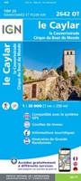 Wandelkaart - Topografische kaart 2642OT Le Caylar - La Couvertoirade | IGN - Institut Géographique National★★★★★
 Wandelkaart - Topografische kaart 2545ET Beziers | IGN - Institut Géographique National★★★★★
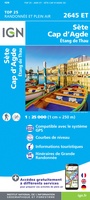 Wandelkaart - Topografische kaart 2645ET Cap d'Agde - Sète - Etang de Thau | IGN - Institut Géographique National
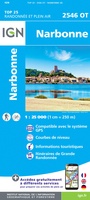 Wandelkaart - Topografische kaart 2546OT Narbonne | IGN - Institut Géographique National
 Wandelkaart - Topografische kaart 2743ET Montpellier | IGN - Institut Géographique National
 Wandelkaart - Topografische kaart 2843OT Aigues - Mortes - La Grande Motte | IGN - Institut Géographique National
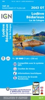 Wandelkaart - Topografische kaart 2643OT Lodeve | IGN - Institut Géographique National
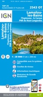 Wandelkaart - Topografische kaart 2543OT Lamalou-les-Bains, Olargues, Roquebrun, Le Caroux, PNR du Haut Languedoc | IGN - Institut Géographique National★★★★★
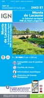 Wandelkaart - Topografische kaart 2443ET Monts de Lacaune, La Salvetat - sur - Agout, PNR du Haut Languedoc | IGN - Institut Géographique National★★★★★
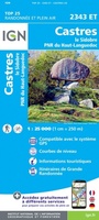 Wandelkaart - Topografische kaart 2343ET Castres, Sidobre, Brassac, Vebre, PNR du Haut Languedoc | IGN - Institut Géographique National★★★★★
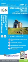 Wandelkaart - Topografische kaart 2344OT Montagne Noire (ouest) - Revel - Labrugiere - PNR du Haut Languedoc | IGN - Institut Géographique National
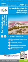 Wandelkaart - Topografische kaart 3044OT Port-Saint-Louis-du-Rhône | IGN - Institut Géographique National
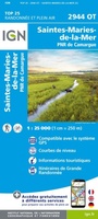 Wandelkaart - Topografische kaart 2944OT Saintes-Maries-de-la-Mer | IGN - Institut Géographique National
 Wandelkaart - Topografische kaart 2943ET Arles | IGN - Institut Géographique National
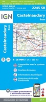 Wandelkaart - Topografische kaart 2245SB Bram - Castelnaudary | IGN - Institut Géographique National
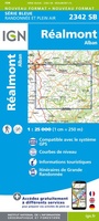 Wandelkaart - Topografische kaart 2342SB Réalmont - Alban | IGN - Institut Géographique National
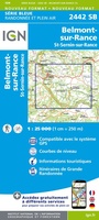 Wandelkaart - Topografische kaart 2442SB Belmont-sur-Rance, St-Sernin-sur-Rance | IGN - Institut Géographique National
 Wandelkaart - Topografische kaart 2243SB Puylaurens, Lautrec | IGN - Institut Géographique National
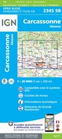 Wandelkaart - Topografische kaart 2345SB Carcassonne - Alzonne | IGN - Institut Géographique National
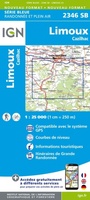 Wandelkaart - Topografische kaart 2346SB Cazilhac - Limoux | IGN - Institut Géographique National
Laatste reviews

Zeer informatief en nuttig
Het boekje geeft veel (achtergrond)informatie over de route zelf en over de plaatsen waar je langs komt. Daarnaast is de route bewegwijzerd en dat is …
★★★★★ door Irma 18 april 2024 | Heeft dit artikel gekocht
Heel veel informatie in een mooi compact boekje.
Boekje was niet meer voorradig, door de inzet van een medewerker toch nog via via een boekje kunnen krijgen. Ik vind dit een hele bijzondere …
★★★★★ door Thea de Weerd 17 april 2024 | Heeft dit artikel gekocht
De ACSI gidsen zijn geweldig.
Gebruik al jaren de ACSI gidsen. Zijn geweldig. En dan ook nog de korting in voor- en naseizoen. Prima.
★★★★★ door Loes Nagelhout-ram 17 april 2024 | Heeft dit artikel gekocht
Leuk doosje
Heel lief doosje, wij hebben hem gebruikt voor een kadopakketje te maken, met een hotelbon erbij.
★★★★★ door H vd berge 17 april 2024 | Heeft dit artikel gekocht