Winkelwagen
Geen items in winkelwagen
Ga naar winkelwagen
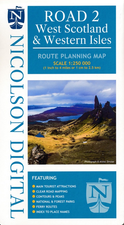
Wegenkaart - landkaart West Scotland - Western ISles - Schotland | Nicolson (9781912046591)
- ISBN / CODE: 9781912046591
- Editie: meest recente editie
- Schaal: 1:250000
- Uitgever: Nicolson
- Soort: Wegenkaart
- Taal: Engels
- Uitvoering: Papier
- Bindwijze: -
- Schrijf als eerste een review
-
€ 10,95
Dit artikel is (tijdelijk) niet leverbaar
Beschrijving
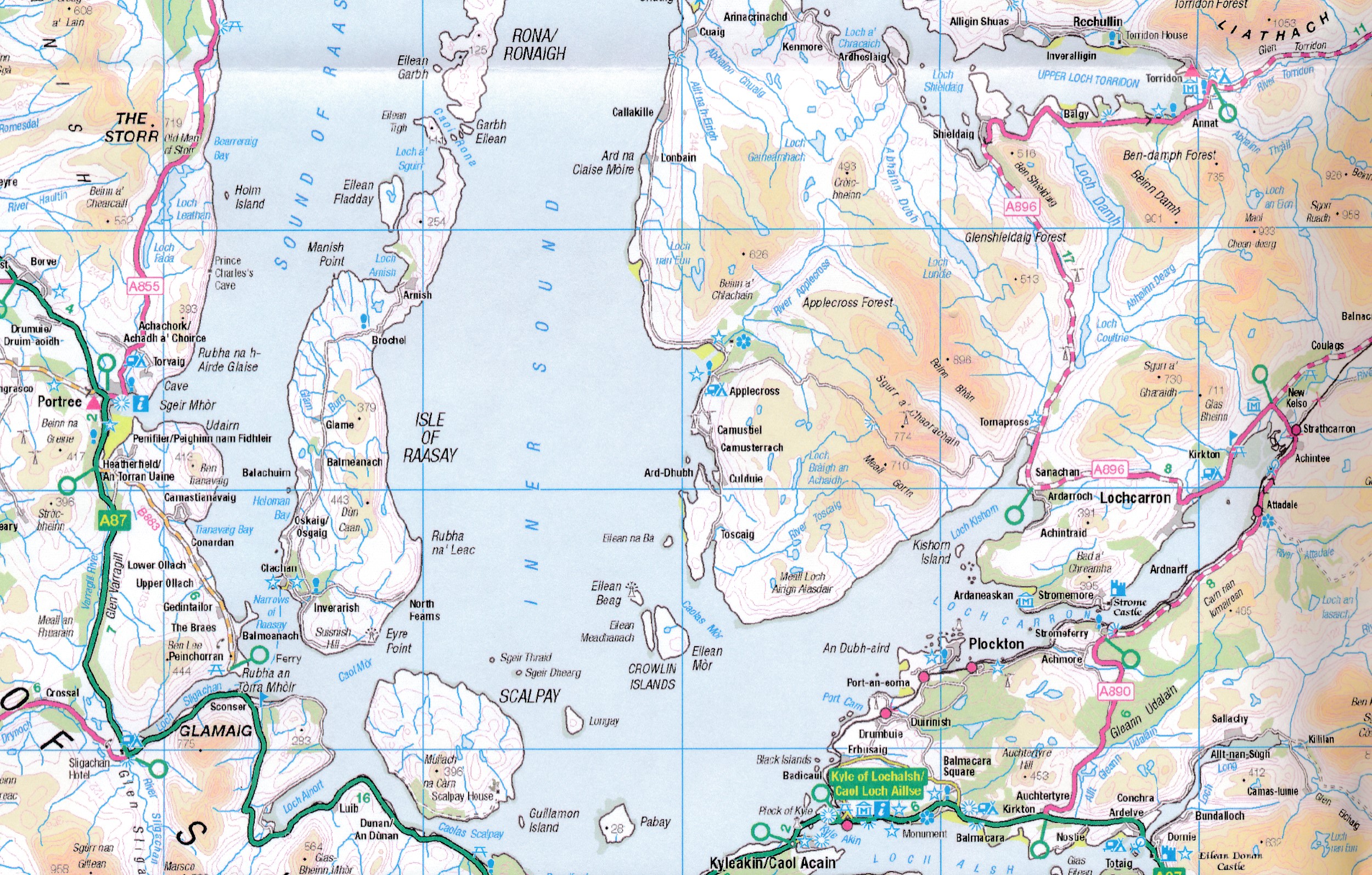
Based on the Ordnance Survey 1/250000 Road mapping.
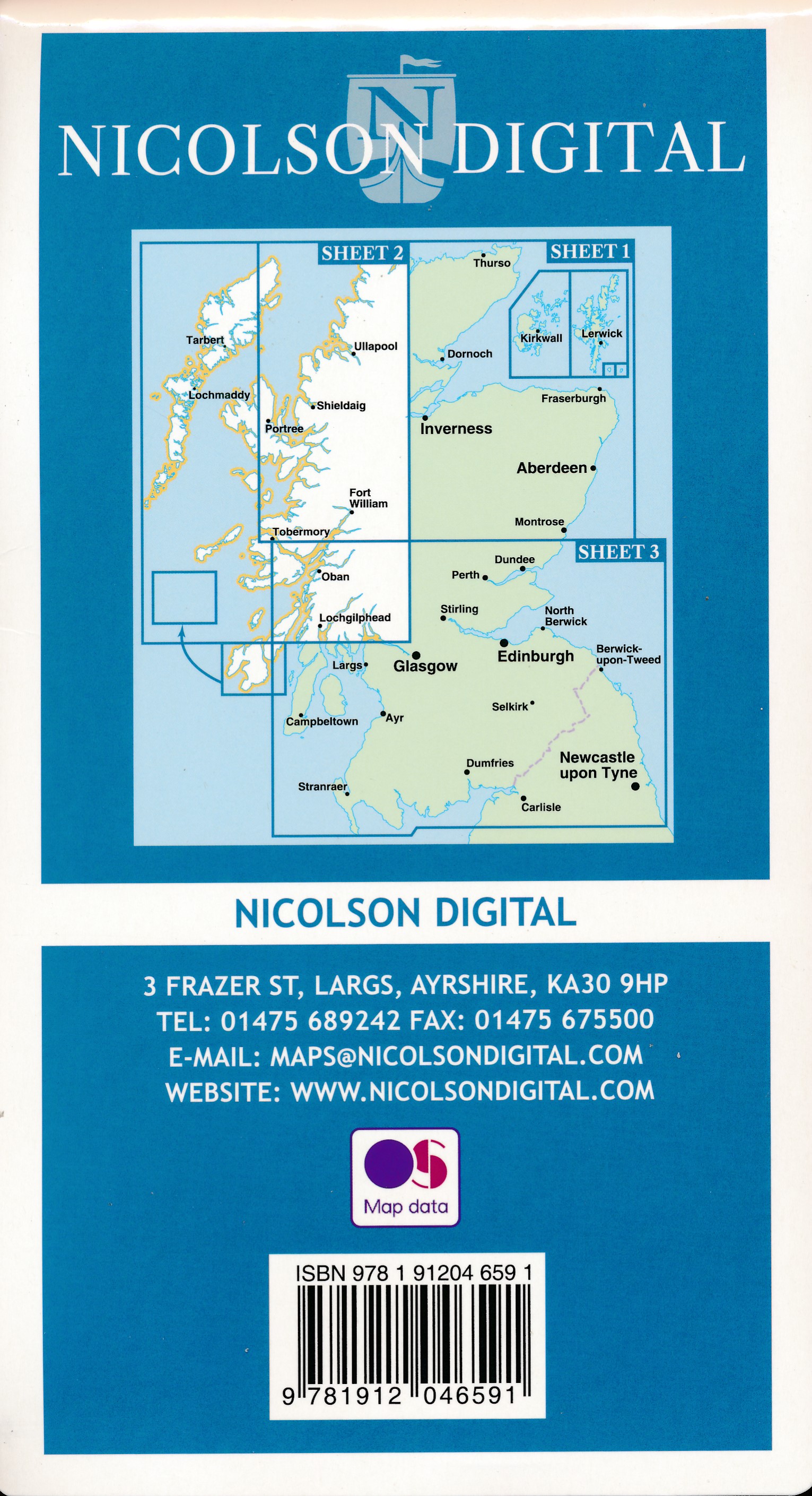
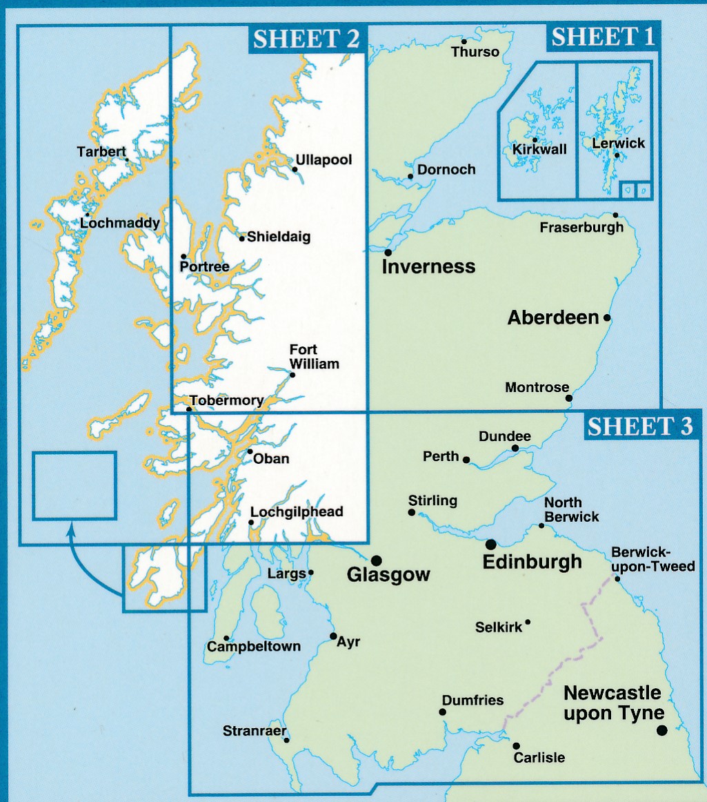
Road Map 2 covers West Scotland & the Western Isles. Please scroll through the images to see the area of coverage (in white). This sheet covers from Dumbarton in the south west, due north to Loch Eribol (east of Durness) all the way west to Lewis, Harris, the Uists, Benbecula & Barra. It also includes an inset of Islay & Jura.
Features:
• Clear road mapping & ferry routes
• Index to place names (which the Ordnance Survey version doesn't have)
• National & forest parks
• Contours and peak heights
ISBN 9781912046591
Cover size 133mm wide x 240mm tall
Sheet size (when unfolded) 952 mm wide x 1250 mm tall
Reviews
Geen reviews gevonden voor dit product.
Schrijf een review
Graag horen wij wat u van dit artikel vindt. Vindt u het goed, leuk, mooi, slecht, lelijk, onbruikbaar of erg handig: schrijf gerust alles op! Het is niet alleen leuk om te doen maar u informeert andere klanten er ook nog mee!
Alle gerelateerde rubrieken >
Ook interessant voor europa/schotland
-

Reisgids North Coast 500 NC500 | Col
€ 34,95Reisgidsen Schotland -

Wegenkaart - landkaart West Scotland
€ 10,95Wegenkaarten Schotland -

Campergids Mit dem Wohnmobil Schottl
€ 22,95Campergidsen Schotland -

Fietsgids Bikepacking Scotland | Ver
€ 27,95Fietsgidsen Schotland -

Wandelgids Exploring the Fife Coasta
€ 20,95Wandelgidsen Schotland