Winkelwagen
Geen items in winkelwagen
Ga naar winkelwagen
Wandelkaarten - Alpen - Mont Blanc - Haute Savoie
Overzichtskaarten
-
Wandelkaarten IGN 25.000 Haute Savoie - Mont Blanc
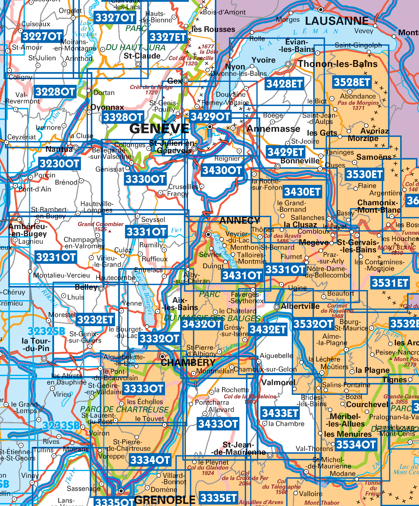
Producten op deze overzichtskaart:
Klik op een product om naar de pagina van dat product te gaan.
- Wandelkaart - Topografische kaart 3230OT Nantua - Hauteville-Lompnes - Nord Bugey | IGN - Institut Géographique National
- Wandelkaart - Topografische kaart 3231OT Ambérieu-en-Bugey | IGN - Institut Géographique National
- Wandelkaart - Topografische kaart 3232 SB - Serie Bleue la Tour-du-Pin | IGN - Institut Géographique National
- Wandelkaart - Topografische kaart 3330OT Bellegarde-sur-Valserine | IGN - Institut Géographique National
- Wandelkaart 3331OT Rumilly - Seyssel | IGN - Institut Géographique National
- Wandelkaart - Topografische kaart 3332OT Chambéry - Aix-les-Bains | IGN - Institut Géographique National
- Wandelkaart - Topografische kaart 3428ET Thonon les Bains - Évian les Bains | IGN - Institut Géographique National
- Wandelkaart - Topografische kaart 3429ET Bonneville | IGN - Institut Géographique National
- Wandelkaart - Topografische kaart 3429OT Geneve | IGN - Institut Géographique National
- Wandelkaart - Topografische kaart 3430ET La Clusaz - le Grand-Bornand | IGN - Institut Géographique National
- Wandelkaart - Topografische kaart 3430OT Mont Salève | IGN - Institut Géographique National
- Wandelkaart - Topografische kaart 3431OT Lac d'Annecy | IGN - Institut Géographique National
- Wandelkaart - Topografische kaart 3432ET Albertville | IGN - Institut Géographique National
- Wandelkaart - Topografische kaart 3432OT Massif des Bauges | IGN - Institut Géographique National
- Wandelkaart - Topografische kaart 3432OTR Massif des Bauges | IGN - Institut Géographique National
- Wandelkaart - Topografische kaart 3528ET Morzine | IGN - Institut Géographique National
- Wandelkaart - Topografische kaart 3528ETR Morzine | IGN - Institut Géographique National
- Wandelkaart - Topografische kaart 3530ET Samoëns | IGN - Institut Géographique National
- Wandelkaart - Topografische kaart 3531ET Saint-Gervais-les-Bains | IGN - Institut Géographique National
- Wandelkaart - Topografische kaart 3531OT Megève | IGN - Institut Géographique National
- Wandelkaart - Topografische kaart 3532OT Massif du Beaufortain | IGN - Institut Géographique National
- Wandelkaart - Topografische kaart 3630OT Chamonix-Mont-Blanc | IGN - Institut Géographique National
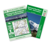 Wandelkaart 03 Chamonix-Mont-Blanc - Trient - Courmayeur | L'Escursionista editore★★★★★
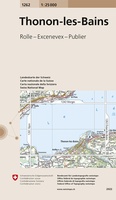 Wandelkaart - Topografische kaart 1262 Thonon-les-Bains | Swisstopo
 Wandelkaart - Topografische kaart 1263 Évian-les-Bains | Swisstopo
 Wandelkaart - Topografische kaart 1264 Montreux | Swisstopo
 Wandelkaart - Topografische kaart 1281 Coppet | Swisstopo
 Wandelkaart - Topografische kaart 1284 Monthey | Swisstopo
 Wandelkaart 107 Monte Bianco, Courmayeur, Chamonix, la Thuile | IGC - Istituto Geografico Centrale
 Wandelkaart - Topografische kaart 3428ET Thonon les Bains - Évian les Bains | IGN - Institut Géographique National
 Wandelkaart - Topografische kaart 3429ET Bonneville | IGN - Institut Géographique National
 Wandelkaart - Topografische kaart 3429OT Geneve | IGN - Institut Géographique National
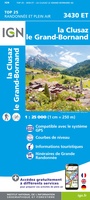 Wandelkaart - Topografische kaart 3430ET La Clusaz - le Grand-Bornand | IGN - Institut Géographique National★★★★★
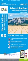 Wandelkaart - Topografische kaart 3430OT Mont Salève | IGN - Institut Géographique National
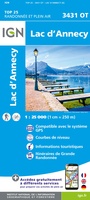 Wandelkaart - Topografische kaart 3431OT Lac d'Annecy | IGN - Institut Géographique National★★★★★
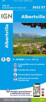 Wandelkaart - Topografische kaart 3432ET Albertville | IGN - Institut Géographique National
 Wandelkaart - Topografische kaart 3432OT Massif des Bauges | IGN - Institut Géographique National
 Wandelkaart - Topografische kaart 3433OT Allevard | IGN - Institut Géographique National
 Wandelkaart - Topografische kaart 3531ET Saint-Gervais-les-Bains | IGN - Institut Géographique National★★★★★
 Wandelkaart - Topografische kaart 3531OT Megève | IGN - Institut Géographique National★★★★★
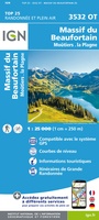 Wandelkaart - Topografische kaart 3532OT Massif du Beaufortain | IGN - Institut Géographique National★★★★★
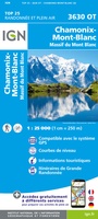 Wandelkaart - Topografische kaart 3630OT Chamonix-Mont-Blanc | IGN - Institut Géographique National★★★★★★★★★★
Laatste reviews

Verassend goede en rijke wandelgids
Deze gids bevat een schat an informatie over talloze rondwandelingen langs de Jurassic Coast, met veel aandacht voor de geologische aspecten van deze kust. De …
★★★★★ door Raymond Franssen 13 juni 2026 | Heeft dit artikel gekocht
Informatief boekje
In deze nieuwe uitgave ontbreekt de routebeschrijving. Het bevat daar ipv veel info over de omgeving. Dat is leuk. De route is goed te wandelen …
★★★★★ door Irma Smit 13 juni 2026 | Heeft dit artikel gekocht
Goede kaart
Duidelijke kaart voor gebied te verkennen met Moto
★★★★★ door Van Puymbroeck René 12 juni 2026 | Heeft dit artikel gekocht
Fijne kaart
Goede leesbare kaart inclusief route suggesties. Heb alleen op de kaart gelopen, zonder mobiele apparatuur. Heel goed te doen.
★★★★★ door Nick 10 juni 2026 | Heeft dit artikel gekocht