Winkelwagen
Geen items in winkelwagen
Ga naar winkelwagen
Kaarten - Cevennen
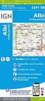 Wandelkaart - Topografische kaart 2241SB Albi, Cordes-sur-Ciel | IGN - Institut Géographique National★★★★★
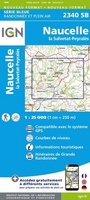 Wandelkaart - Topografische kaart 2340SB Naucelle, La Salvetat, Peyrales | IGN - Institut Géographique National
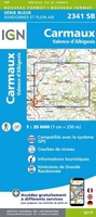 Wandelkaart - Topografische kaart 2341SB Carmaux, Valence-d'Albigeoi | IGN - Institut Géographique National
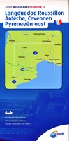 Wegenkaart - landkaart 13 Languedoc - Ardeche - Cevennen - Pyreneeën Oost | ANWB Media
 Wandelkaart - Topografische kaart 2338SB Decazeville | IGN - Institut Géographique National
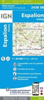 Wandelkaart - Topografische kaart 2438SB Espalion - Estaing | IGN - Institut Géographique National
 Wandelkaart - Topografische kaart 2638SB Mende | IGN - Institut Géographique National
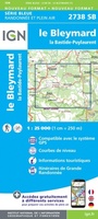 Wandelkaart - Topografische kaart 2738SB Le Bleymard | IGN - Institut Géographique National
 Wandelkaart - Topografische kaart 2339SB Rieupeyroux - Moyrazes | IGN - Institut Géographique National
 Wandelkaart - Topografische kaart 2439SB Rodez - Laissac | IGN - Institut Géographique National
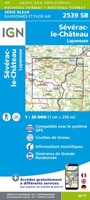 Wandelkaart - Topografische kaart 2539SB Sévérac-le-Château, Lapanouse | IGN - Institut Géographique National
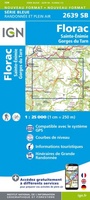 Wandelkaart - Topografische kaart 2639SB Florac | IGN - Institut Géographique National
 Wandelkaart - Topografische kaart 2440SB Salles-Curan, Lac de Pareloup, Cassagnes, Begonhes | IGN - Institut Géographique National
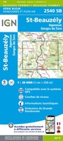 Wandelkaart - Topografische kaart 2540SB St-Beauzély, Aguessac, Gorges-du-Tarn | IGN - Institut Géographique National
 Wandelkaart - Topografische kaart 2441SB Réquista, Villefranche-de-Panat | IGN - Institut Géographique National★★★★★
 Wandelkaart - Topografische kaart 2541OT Millau, St-Affrique - PNR Grands Causses | IGN - Institut Géographique National
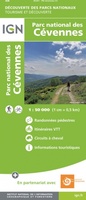 Wandelkaart - Fietskaart Parc National de Cevennes | IGN - Institut Géographique National
 Wandelkaart GR 70 The Stevenson Trail | IGN - Institut Géographique National★★★★★
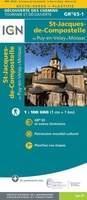 Wandelkaart - Pelgrimsroute (kaart) St-Jacques-de-Compostela GR 65-1, St Jacobsroute | IGN - Institut Géographique National
 Wegenkaart - landkaart - Fietskaart D30 Top D100 Gard | IGN - Institut Géographique National
Laatste reviews

Prima gids hikes in Ticino
Zoals altijd een prima gids van Cicerone, in feite onmisbare gids voor hiken in dit gebied. De gids bevat verschillende dagtochten van ± 1 tot …
★★★★★ door Pieter Boddaert 16 mei 2024 | Heeft dit artikel gekocht
Overzichtelijk, handig, stevig
Heel blij met de kaart geweest, uiteindelijk wel 5 keer per dag in handen gehad tijdens mijn tocht. Gebruikersvriendelijk en dankzij platsificeering ook uiterst geschickt …
★★★★★ door Jasmin 16 mei 2024 | Heeft dit artikel gekocht
Actueel, duurzaam en duidelijk leesbaar
Snelle levering
★★★★★ door Pierre 16 mei 2024 | Heeft dit artikel gekocht
Degelijk materiaal en duidelijk leesbaar
Snelle levering
★★★★★ door Pierre Dilissen 16 mei 2024 | Heeft dit artikel gekocht