♦ Cotswolds AONB
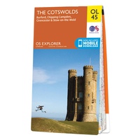 Wandelkaart - Topografische kaart OL45 OS Explorer Map The Cotswolds | Ordnance Survey
Met zijn 4cm voor 1 km (2 ½ cm voor 1 mijl) schaal, is de OS Outdoor Leisure kaartenserie de ideale en meest gedetailleerde kaartenreeks voor mensen die graag outdoor-activiteiten …
★★★★★ Wandelgids 50 Walks in the Cotswolds | AA Publishing
Uitstekende wandelgids met een aantal dagtochten tussen de 5 en 13 kilometer. Niet heel erg lang dus, maar wel op de mooiste plekken en goed beschreven en prima kaartmateriaal. Walking …
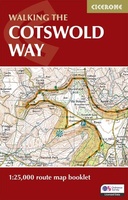
★★★★★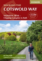 Wandelgids The Cotswold Way | Cicerone
Uitstekende wandelgids van de Cotswolds Way, waarbij naast alle noodzakelijke informatie ook gebruik gemaakt wordt van de echte topografische kaart. inclusief gidsje met routekaarten van 1:25000 (deze is hier ook los …
★★★★★ Wandelkaart - Topografische kaart 163 Landranger Cheltenham & Cirencester, Stow-on-the-Wold - Cotswolds | Ordnance Survey
Zeer goede detailkaart met topografische ondergrond. Kleurgebruik is goed over nagedacht: bijzonder goed leesbaar en helder kaartbeeld. Hierop zijn toeristische symbolen van bezienswaardigheden ingetekend, daarnaast staan bijvoorbeeld campings en jeugdherbergen …
★★★★★ Wandelgids The Cotswold Way | Aurum Press
Goede beschrijving van de aantrekkelijke route. Kaartmateriaal van Ordnance Survey - de Engelse topografische dienst op een schaal van 1:25.000. Praktische info voor overnachten ed. niet altijd uitgebreid, maar die …
 Fietskaart 08 Tour Map The Cotswolds & Gloucestershire | Ordnance Survey
De Ordnance Survey Tour Maps met schaal 1:100.000 zijn uitstekend geschikt om zelf je fietsvakantie te plannen in Engeland. Ze laten alle alle grote en kleinere wegen zien. Bovendien staan …
★★★★★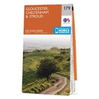 Wandelkaart - Topografische kaart 179 OS Explorer Map Gloucester, Cheltenham, Stroud | Ordnance Survey
The essential map for outdoor activities in Gloucester, Cheltenham and Stroud. The OS Explorer Map is the Ordnance Survey's most detailed folding map and is recommended for anyone enjoying outdoor …
★★★★★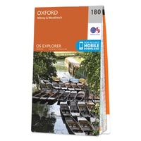 Wandelkaart - Topografische kaart 180 OS Explorer Map Oxford | Ordnance Survey
Met zijn 4cm voor 1 km (2 ½ cm voor 1 mijl) schaal, is de OS Explorer kaartenserie de ideale en meest gedetailleerde kaartenreeks voor mensen die graag outdoor-activiteiten zoals …
 Wandelgids Cotswold Way | Trailblazer Guides
Goede wandelgids van de hele route van Chipping Campden naar Bath. Met veel details zijn alle etappes beschreven. Tevens informatie over overnachtingen en openbaar vervoer. All-in-one hiking route guide and …
 Wandelkaart Walking the Cotswold Way | Cicerone
Handzaam gidsje met alleen de topografische routekaarten van 1:25000. De uitgebreide wandelgids (inclusief dit gidsje) is hier te bestellen. All the mapping you need to complete the Cotswold Way National …
 Wandelgids Heart of the Cotswolds | Rucksack Readers
“Waterproof paper, clear mapping, excellent photography and a knowledgeable text ”- Outdoor Focus The Cotswolds is the quintessential heart of England, with its rich cultural history, medieval ‘wool’ churches …
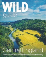 Reisgids Central England - Centraal Engeland | Wild Things Publishing
Prachtige reisgids van Centraal Engeland waarbij nadrukkelijk de natuur en buitensportmogelijkheden worden uitgelicht. Met kaarten en wat praktische informatie. A new compendium of adventures, from the best-selling Wild Guide series …
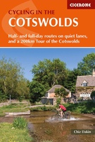 Fietsgids Cycling in the Cotswolds | Cicerone
Guidebook of 21 half and full-day day cycle routes, and one four-day 200km tour of the Cotswolds. All the routes described are suitable for hybrid or mountain bikes, and most …
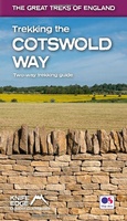 Wandelgids Trekking the Cotswold Way | Knife Edge Outdoor
The definitive two-way guide to the Cotswold Way: both southbound and northbound routes are described in full. Real Maps: Full Ordnance Survey mapping inside (1:25,000). All accommodation is numbered and …
 Wandelkaart South Cotswold Classic Walks | Goldeneye
Explore the south Cotswolds with this laminated, waterproof Cotswolds walking map. With 10 circular, clearly-marked routes this easy-to-use map will help you discover the Cotswolds via some of the finest …
 Wegenkaart - landkaart Planning Map Oxford & the Cotswolds | Lonely Planet
Durable and waterproof, with a handy slipcase and an easy-fold format, Lonely Planet's Oxford & the Cotswolds Planning Maphelps you get around with ease. Get more from your map …
 Reisgids The Cotswolds Guide Book | Goldeneye
The definitive guide to The Cotswolds. In this fully revised and updated Cotswolds guide book, Cotswold specialist, William Fricker, provides his insightful advice on what to see and where to …
 Wandelgids Cotswold Classic Walks | Goldeneye
Cotswold Classic Walks guide is a wonderful collection of 25 scenic, circular walks that will take you off the beaten track to discover the beautiful Cotswolds. Be prepared for some …
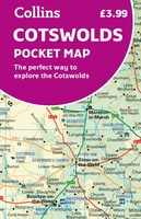 Wegenkaart - landkaart Pocket Map Cotswolds | Collins
Handy little full colour map of the Cotswolds. Main features of this map include: • Clear mapping • Main tourist attractions located and described • Ideal for touring with …
 Wandelkaart North Cotswold Classic Walks | Goldeneye
With 10 circular, clearly-marked routes this easy-to-use map will help you discover the Cotswolds via some of the finest pubs and tearooms. Step into the Cotswolds with these exceptionally …
Laatste reviews

Niet echt voor beginners. Ook zijn de routes soms moeilijk qua logistiek. Weer terugkomen aan het eind bv. En in voorseizoen (mei) blijft er niet …
★★★★★ door Tjeerd 17 mei 2024 | Heeft dit artikel gekocht
Van te voren had ik een andere kaart op het oog. Toen ik in de winkel was adviseerde zij mij deze kaart. Op hun verzoek …
★★★★★ door Koen 17 mei 2024 | Heeft dit artikel gekocht
Ideale schaal waar ook de kleinere wegen duidelijk zijn aangegeven. Beschrijving op website is correct.
★★★★★ door Peter 16 mei 2024 | Heeft dit artikel gekocht
Overzichtelijke kaart. Niks op aan te merken.
★★★★★ door Bastiaan de Leeuw 16 mei 2024 | Heeft dit artikel gekocht